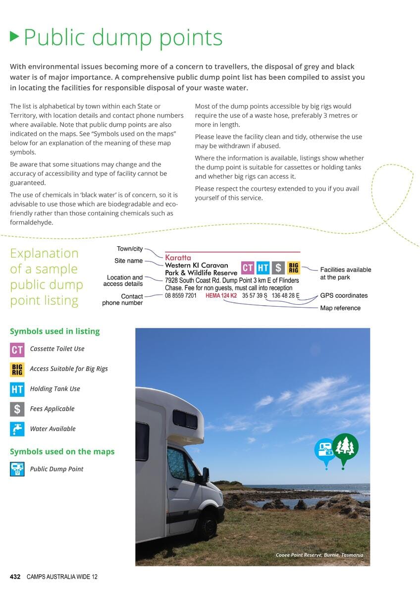
Large-format spiral-bound atlas of Australia published by Hema Maps.
This atlas contains detailed maps of all regions of Australia (including national parks, forests and state parks, campsites, and rest areas) and maps of many cities and tourist attractions. Also included is a section with special maps for 4x4 vehicles and precise indications of tracks, camping, and caravanning areas.
This atlas includes maps of Cape York, Fraser Island, High Country Victoria, the Flinders Ranges, Central Australia, the Top End, the Kimberley, and the Pilbara region. Includes a city index, highway guide, and distance table. 224 pages.


