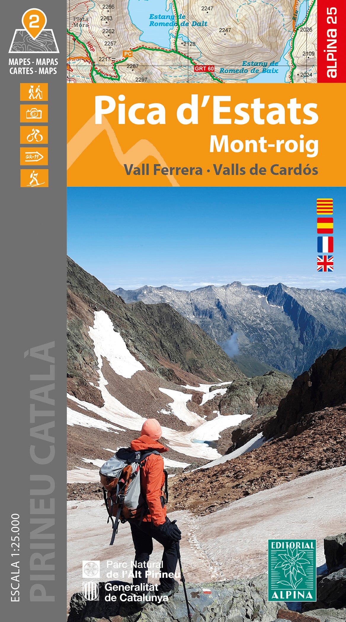
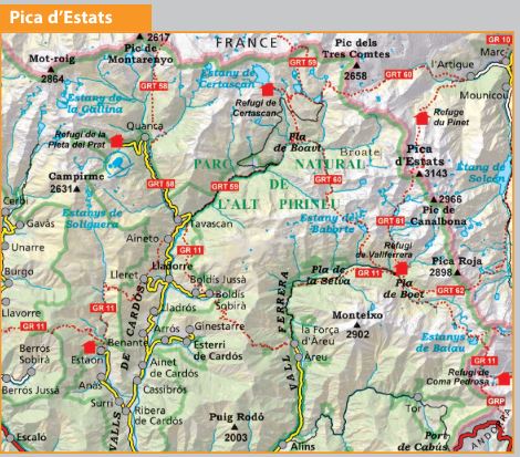
Set of 2 hiking maps - Pic Estats & Mont-Roig (Catalan Pyrenees) | Alpina
Regular price
1650 €
Regular price
Sale price
1650 €
/
- Shipped within 24 to 48h from our warehouse in France
- Free returns (*)
- Real-time stock levels
-
Cartovia Guarantee – Delivery issue?
We resend immediately upon receiving a simple photo.
- Low stock - 2 items left