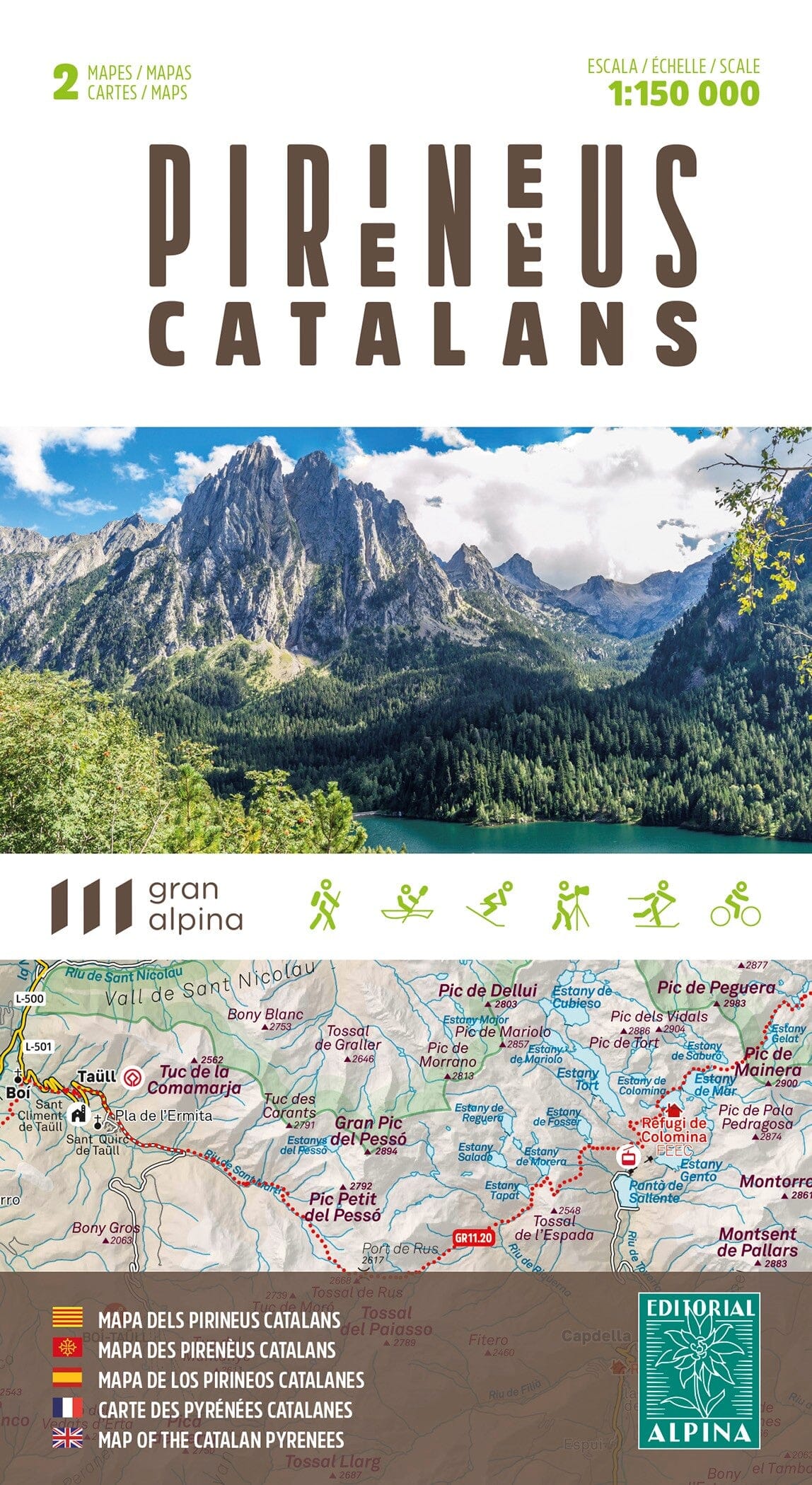
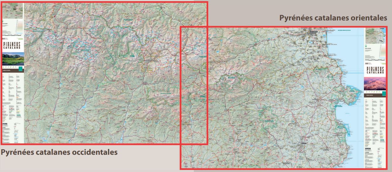
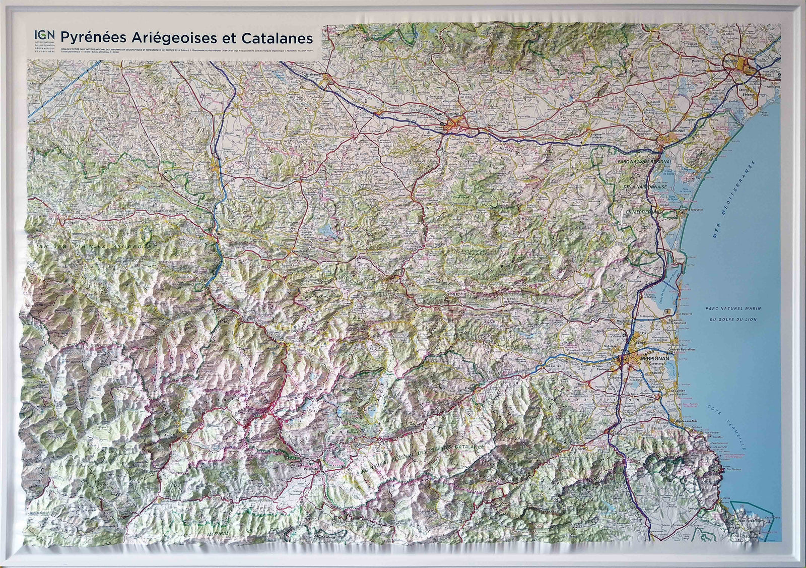
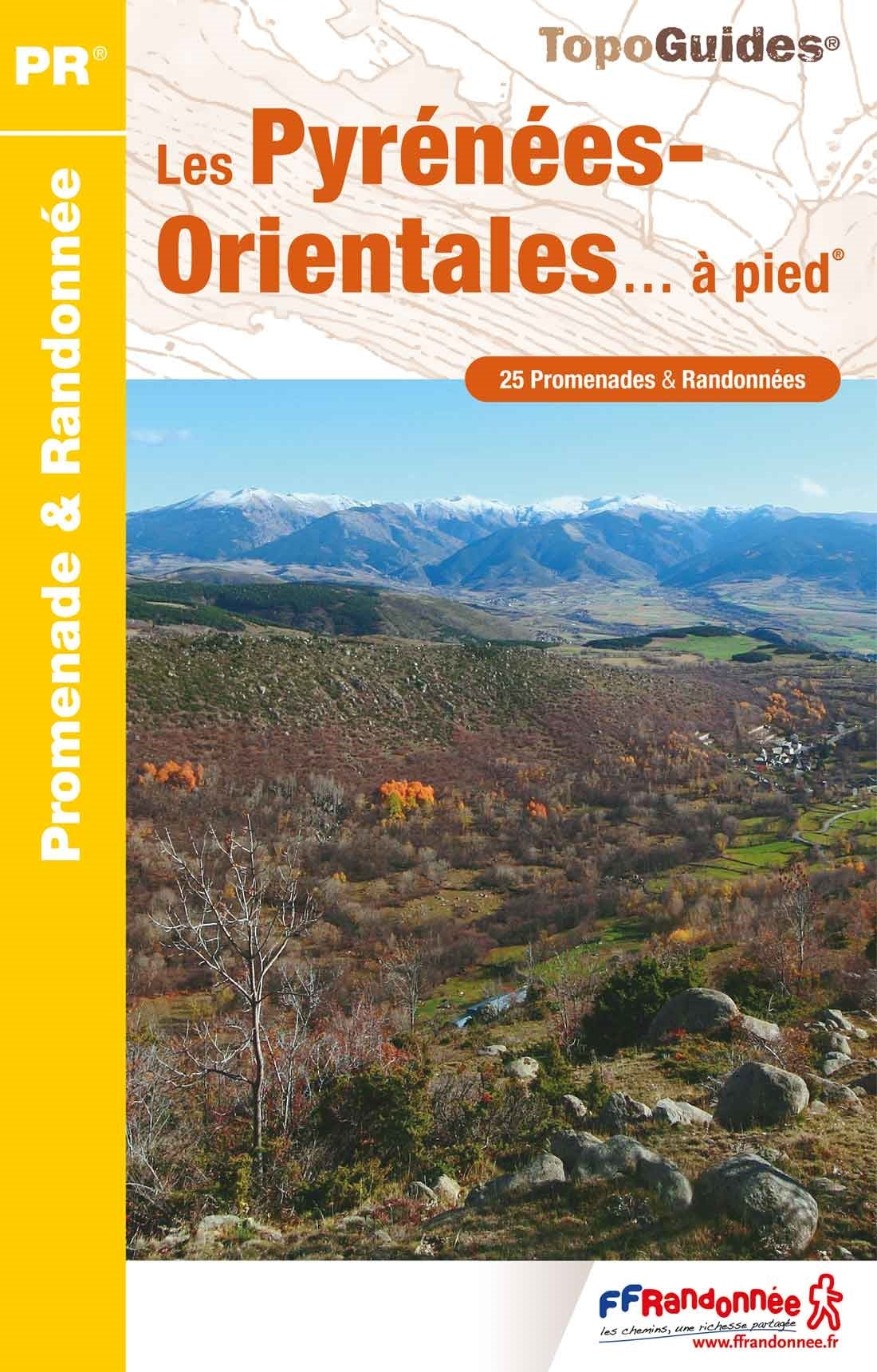
Hiking map of the Pyrenees of Alta Garrotxa, Salines and Vallespir presented in a practical folder.
Map sector: Catalan Pyrenees. Alta Garrotxa, Salinas massif and vallespir.
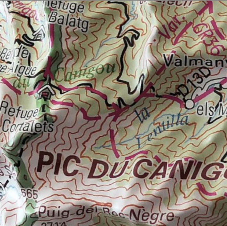
Characteristics of the map: Topographic map on a scale 1: 50.000, with interesting information for hikers: shelters, marked trails (gr, pr, itinerannia, cross - border trails, mountain bike trails), itineraries of climb of peaks, etc.
Guide:
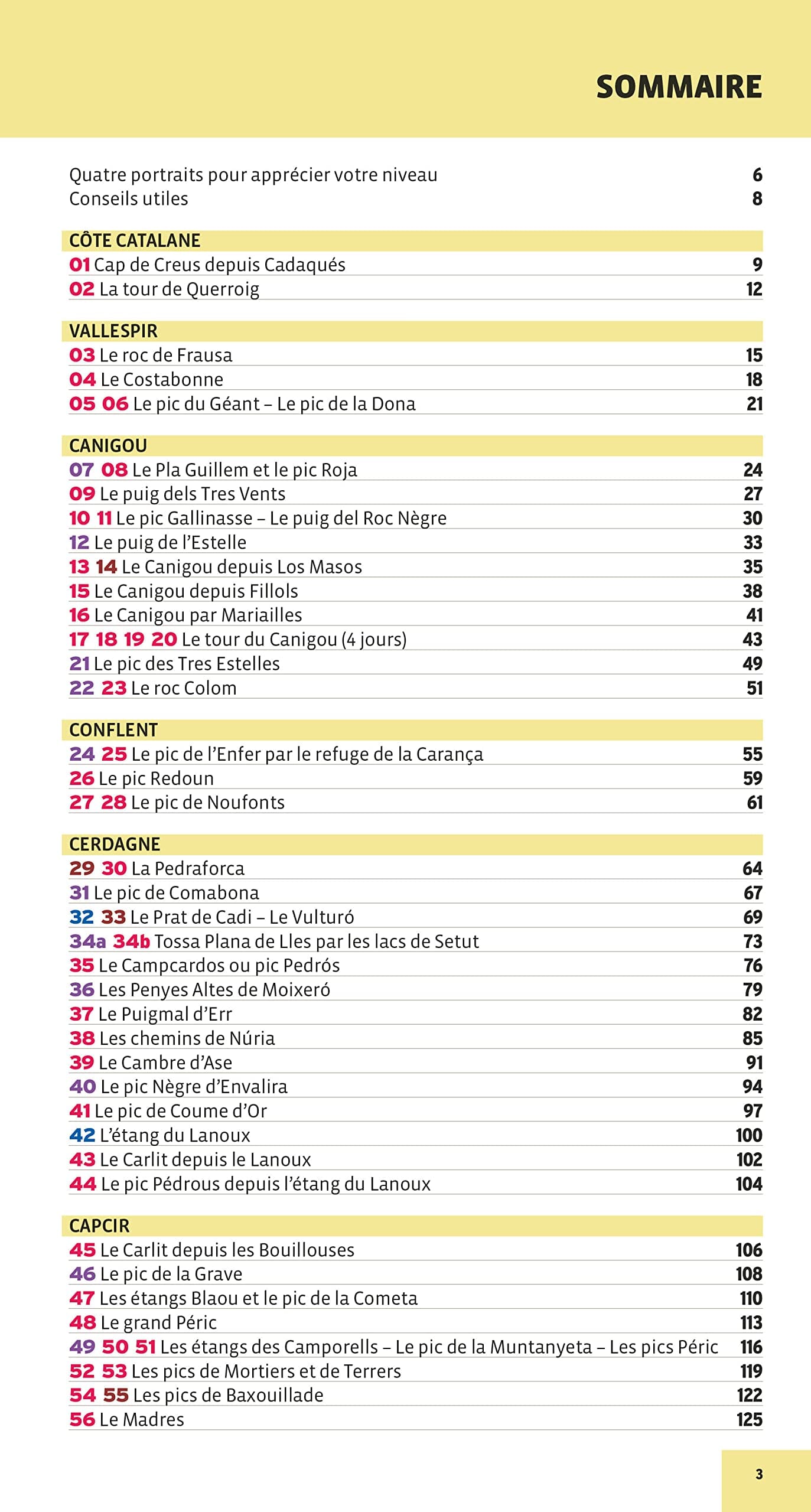
• Description of 8 cross - border routes
• Villages and places of interest
• Geographical area and historical context
Other information:
• Equidistance of level curves: 20 m
• Main curves: 50 m
• Relief Shaded
• Compatible GPS
• Marked routes


