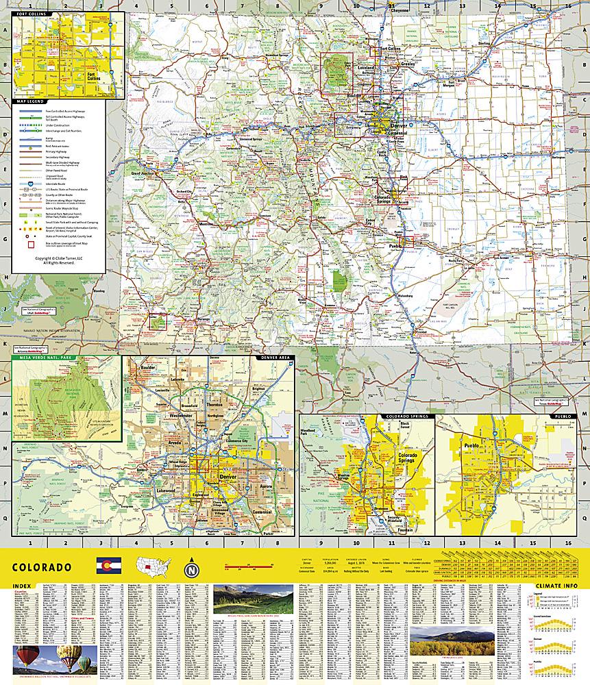
Holy Cross and Eagles Nest Wilderness Area Trail Map (Colorado) published by National Geographic.
This is a double-sided, waterproof map designed to meet the needs of outdoor enthusiasts with durability and detail. This map was created in collaboration with local land management agencies and is loaded with valuable recreational information.
The front of the Eagles Nest and Holy Cross Wilderness Map details the north side of the area, including the Arapaho National Forest, White River National Forest, Eagles Nest Wilderness, Ptarmigan Peak Wilderness, and Byers Peak Wilderness. The inserts provide survival tips, wilderness etiquette, and contact information for local national forests.
The back of the map details the southern portion of the region, including the White River National Forest, San Isabel National Forest, Pike National Forest, River National Forest, Hunter Fryingpan Wilderness, and Mount Massive Wilderness.
.
This topographic map is waterproof and tear-resistant.
Scale 1:63,360.
The map is at a scale of 1:63,360.


