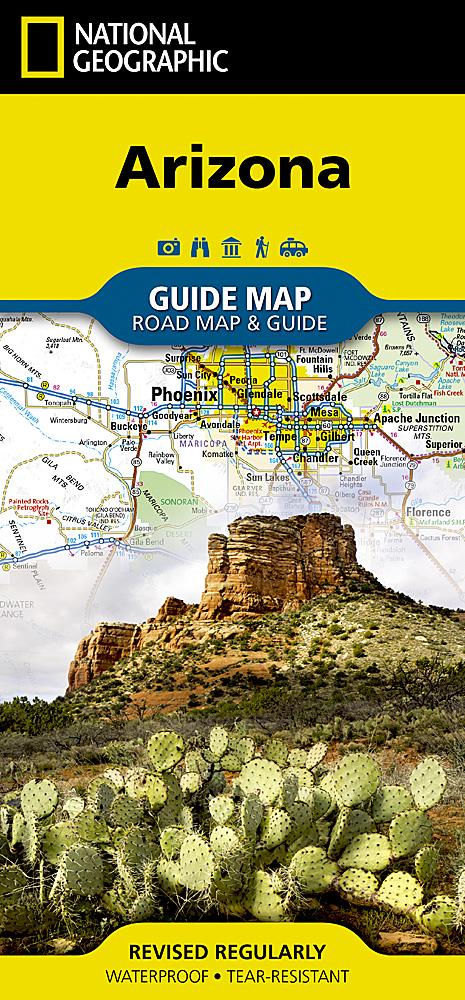
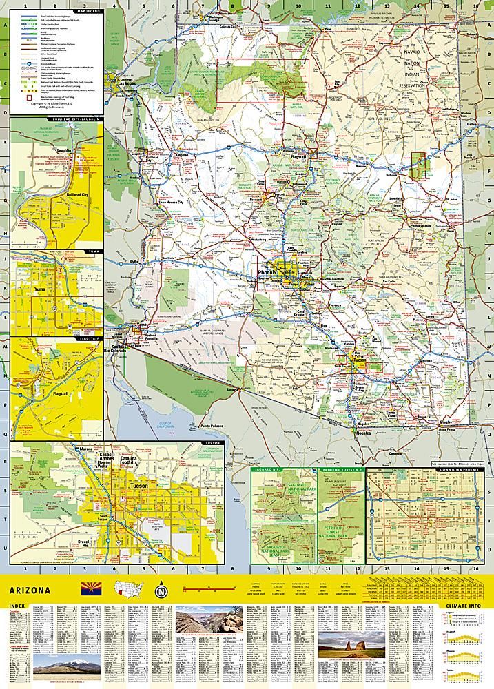
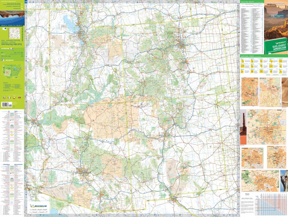
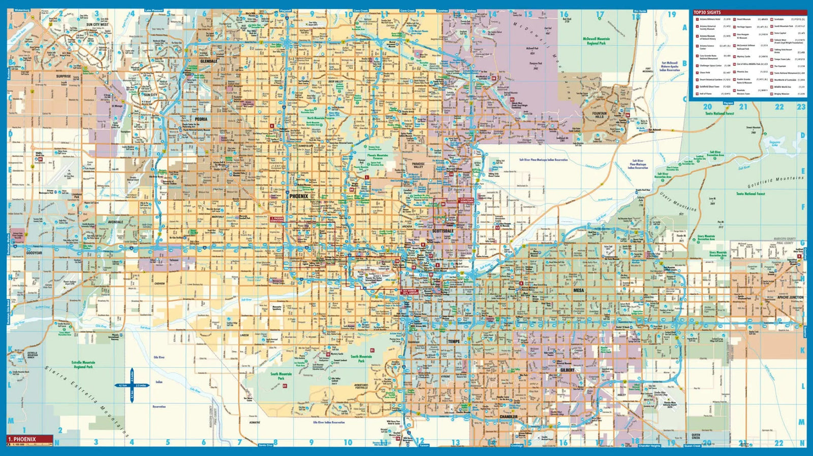
- Waterproof - Tear-Resistant - Topographic Map
Created in partnership with the U.S. Forest Service and other organizations, the National Geographic Trails Illustrated Map of Sycamore Canyon and Verde Valley is an essential travel companion for all outdoor enthusiasts exploring this rugged yet scenic region of northern Arizona. Expertly researched, the map provides extensive details on the Coconino, Kaibab, and Prescott National Forests, the Sycamore Canyon, Red Rock - Secret Mountain, Cedar Bench, and Pine Mountain Wilderness Areas, Montezuma Castle National Monument, and the Red Rock Scenic Byway.
Get off the beaten path and back on it by following clearly mapped trails, colored for both motorized and non-motorized use. The Great Western Trail is marked, as are the National Recreation Trails. The Verde National Scenic River is marked with mileposts and river access points. To help you navigate, the map includes contour lines, elevations, labeled peaks and summits, water features, forested areas, and shaded areas.
ISBN/EAN : 9781566955133
Publication date: 2020
Scale: 1: 70,000 (1 cm represents 700 m)
Printed sides: both sides
Folded dimensions: 9.45 x 4.33 inch / 24 x 11cm
Unfolded dimensions: 24.8 x 37.01 inches / 63 x 94cm
Language(s): English
Weight:
3.4 oz


