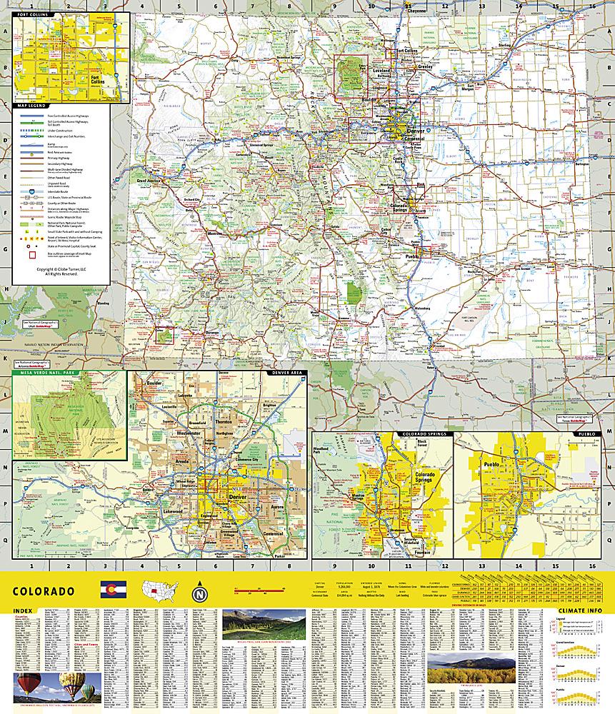
Holy Cross & Ruedi Reservoir (Colorado) hiking map published by National Geographic. This detailed map covers the White River and San Isabel National Forests; the Hunter-Fryingpan and Holy Cross Wilderness Areas; Sylvan Lake State Recreation Area; and the towns of Thomasville and Meredith. This map also includes Turquoise Lake, Rocky Fork Creek; Ruedi Reservoir; and Crooked Creek, Fancy, HaGerman, Half Moon, Fall Creek, and Missouri Passes. 10th Mountain Huts: Margys Hut, Harry Gates Hut, Peter Estin Hut, Betty Bear Hut, Skinner Hut, Uncle Buds Hut, 10th Mountain Memorial Hut, Notch Mountain Hut. Trails, trailheads, points of interest, and campgrounds are included. Waterproof and tear-resistant. Scale 1:40,680.
.


