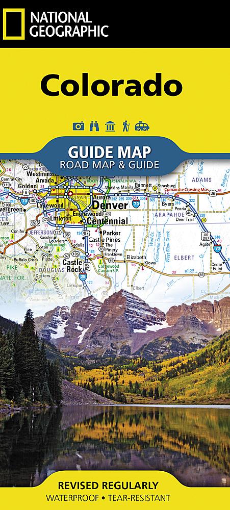
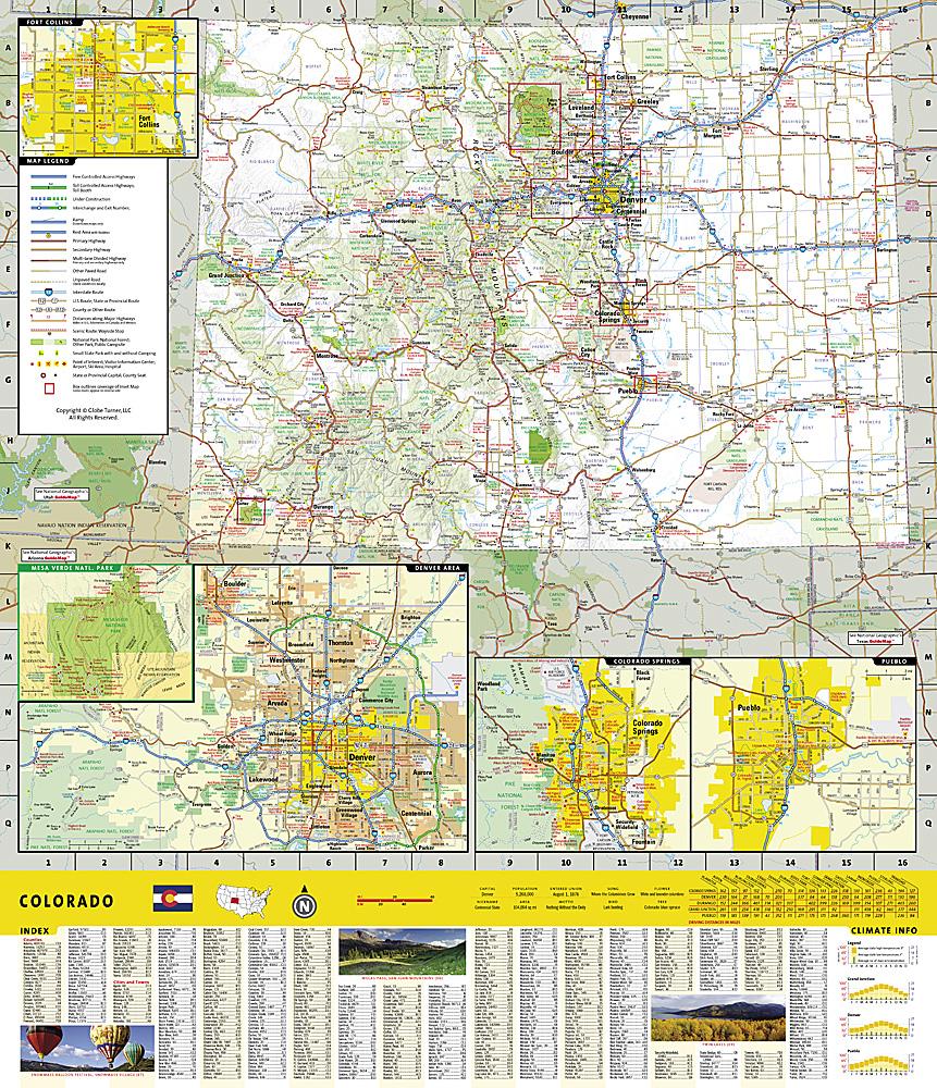
Hahns Peak / Steamboat Lake (Colorado) hiking map published by National Geographic. This map is the most comprehensive recreation map for this stunning region of northern Colorado and covers Routt National Forest, Mt. Zirkel Wilderness Area, Pearl Lake State Park, and Steamboat Lake State Park. This detailed map also includes the towns of Hahns Peak and Pearl, as well as Steamboat, Big Creek, Boettcher, Gilpin, and Bear Lakes and Frying Pan Basin. Trails, trailheads, points of interest, and campgrounds are included. Waterproof and tear-resistant. Scale 1:40,680.
.


