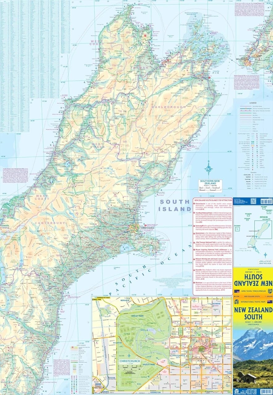
Christchurch Visitors Street Map at 1:30,000 with a detailed enlargement of the city centre and a plan of the city's international airport. The main map covers the city with its outer suburbs and is extended by separate panels to include Lincoln, Templeton, Belfast, Rolleston, Kaiapoi, Rangiora and Ashley, all with street indexes.
The maps show one-way streets, railway lines with stations, ferry terminals, public buildings, etc. Postal district boundaries and postcodes are also shown. An unusual feature of the map is a discrete circular radius grid showing the distance from the Christchurch Central Post Office building.
The enlargement showing central Christchurch is conveniently placed next to the main map and on the back cover, so that it can be viewed without opening the map.


