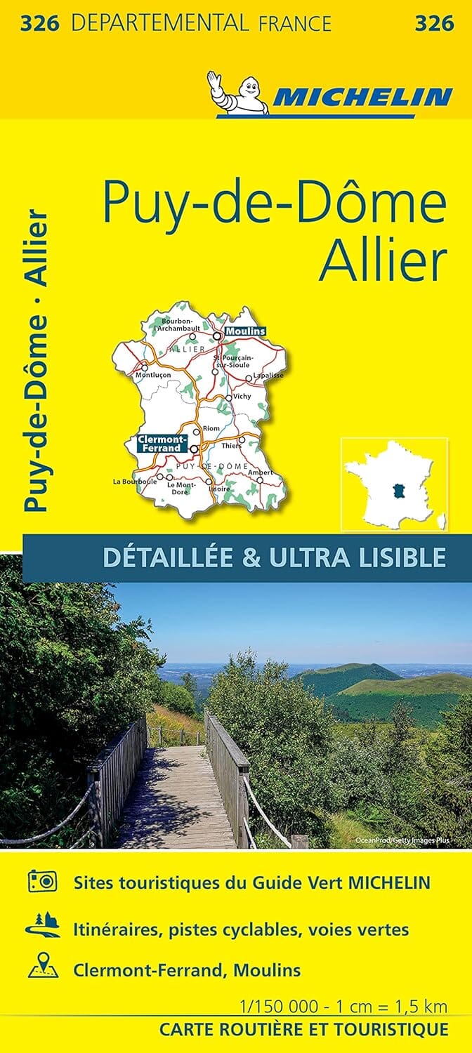
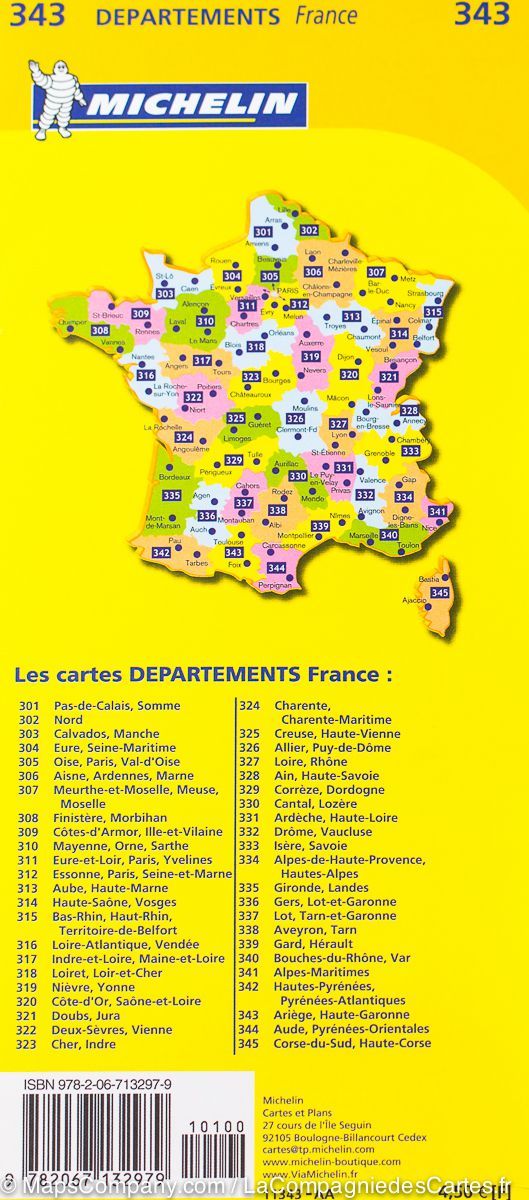
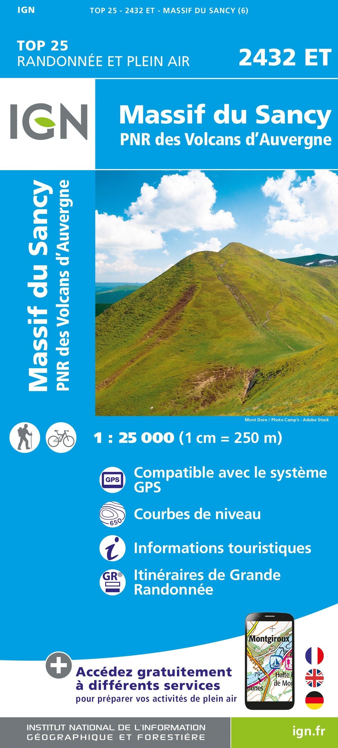
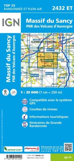
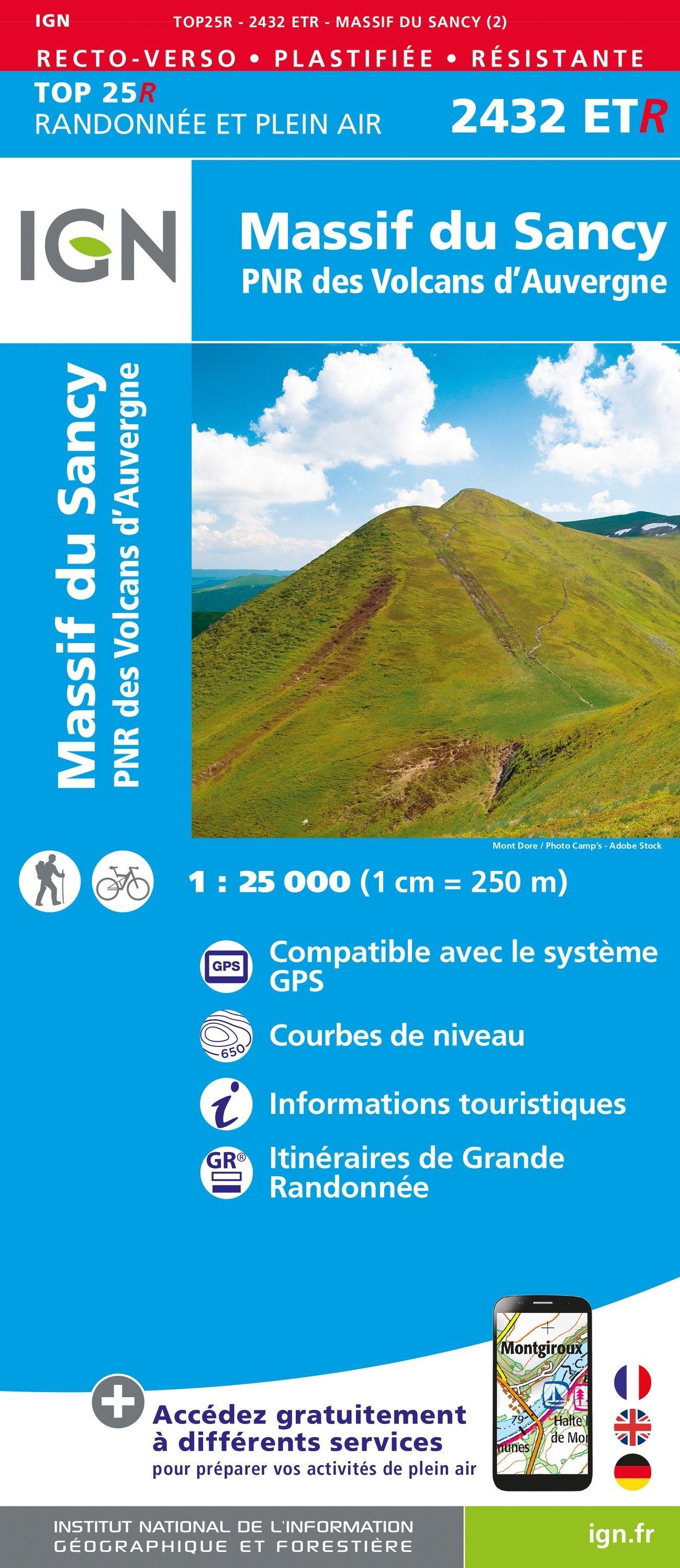
The essential hiking map! These highly accurate topographic maps contain every detail on the ground: communication routes down to the smallest path, buildings down to the shed, woods, isolated trees, rivers, springs... Not to mention the representation of the relief by contour lines.
Municipalities covered : Aigueperse, Châtel-Guyon, Manzat, Pessat-Villeneuve, Loubeyrat, Charbonnières-les-Varennes, Clerlande, Blot-l'Église, Lisseuil, Montpensier, Poëzat, Teilhède, Vitrac, Saint-Pardoux, Saint-Quintin-sur-Sioule, Marcillat, Saint-Priest-d'Andelot, Champs, Saint-Genès-du-Retz, Combronde
Places to discover : Auvergne Volcanoes Regional Natural Park, Banks of the Gour de Tazenat, Chazeron Castle, Rocher Castle, St-Louis, Villemont Castle


