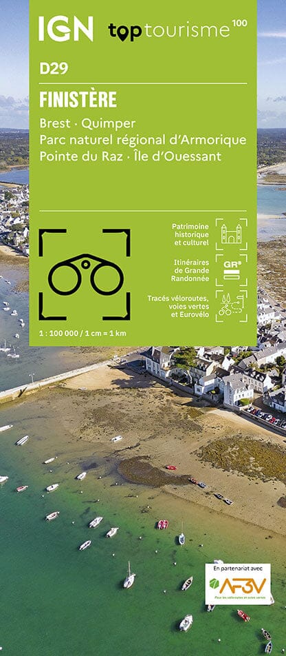
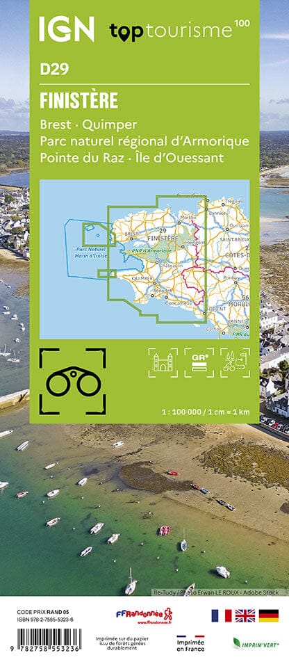
TOP 25 topographic map No. 0616OT of Morlaix, the Queffleuth Valley and the Armorique Regional Natural Park published by IGN.
This hiking map offers contour lines spaced 10 meters apart and a detailed legend (vegetation, rocks, communication routes down to the smallest path, buildings up to the shed, woods, isolated trees, rivers, springs, etc.).
Marked trails and tourist information are indicated. Scale 1:25,000 (1 cm = 250 m).
Municipalities covered: Plouigneau, Saint-Martin-des-Champs, Lannéanou, Guimiliau, Plouégat-Moysan, Bolazec, Botsorhel, Scrignac, Garlan, Plougonven, Morlaix, Plourin-lès-Morlaix, Berrien, Sainte-Sève, Commana, Pleyber-Christ, Plounéour-Ménez, Guiclan, Le Cloître-Saint-Thégonnec, Saint-Thégonnec Loc-Eguiner
Places to discover: Armorique Regional Natural Park, Cragou Rocks, Roc'h Trédudon, Roc'h Trévézel, Monts d'Arrée, Lesquiffiou Castle, Kermerzit Castle, Penhoat Castle, Ste-Geneviève, Keranroux, Kervézec Castle, Mezédern Manor


