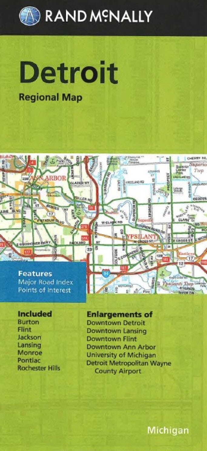
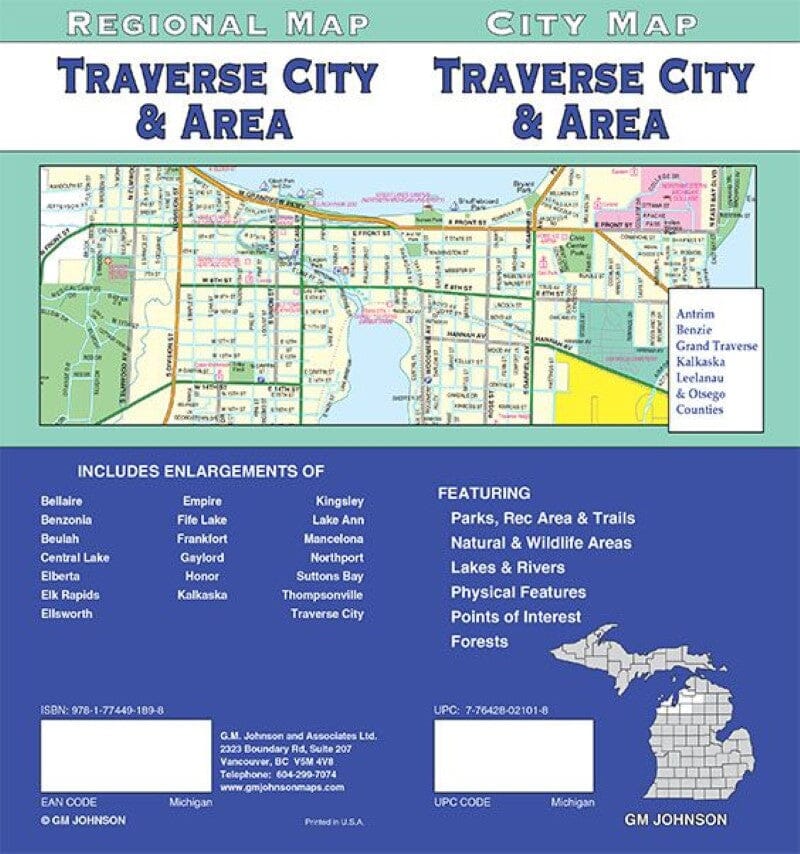
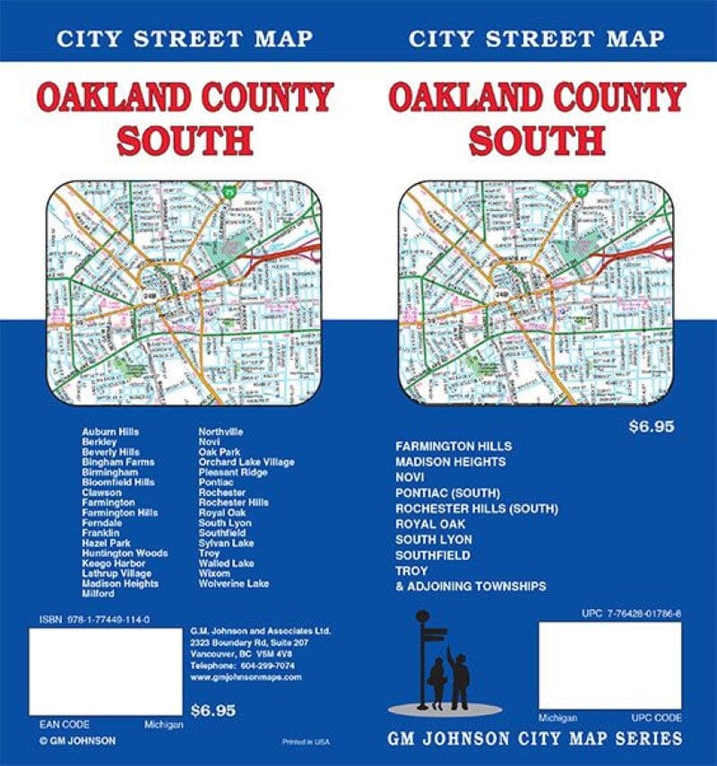
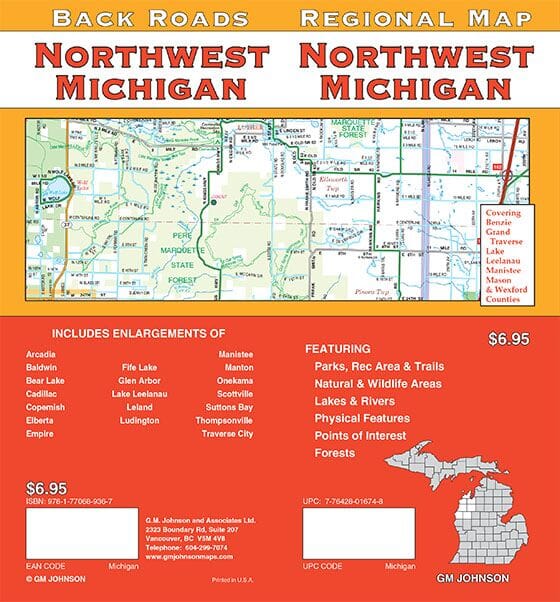
Regional Map - Michigan's Upper Peninsula (Back Roads) | GM Johnson

Price
Regular price 774 €
Regular price Sale price 774 €
/
  • Ships within 48 business hours from our US warehouse. Customs charges may apply for deliveries outside the United States
  • Free returns (*)
  • Real-time inventory
  • Cartovia Guarantee – Delivery issue?
    We resend immediately upon receiving a simple photo.
  • Low stock - 1 item left
  • Backordered, shipping soon
Tax included.

Often purchased together:

Road map of the Upper Peninsula of Michigan.

📍 Area covered:
Algiers, Baraga, Chippewa, Delta, Dickinson, Gogebic, Houghton, Iron, Keweenaw, Luce, Mackinac, Marquette, Menominee, Ontonagon and Schoolcraft counties.

🗺️ Enlargements included:
Baraga, Escanaba, Hancock, Houghton, Iron Mountain, Ironwood, Isle Royale, Kingsford, L'Anse, Mackinac Island, Manistique, Marinette (Wisconsin), Marquette, Menominee, Sault Ste. Mary and St. Ignatius.

📌 Also indicated:
Parks, recreation areas and trails, natural and wildlife areas, lakes and rivers, terrain, points of interest and forests.


ISBN/EAN : 9781774496763
Publication date: 2025
Folded dimensions: 9.45 x 4.33 inch / 24 x 11cm
Unfolded dimensions: 38.58 x 26.38 inches / 98 x 67cm
Language(s): English
Weight: 70 g