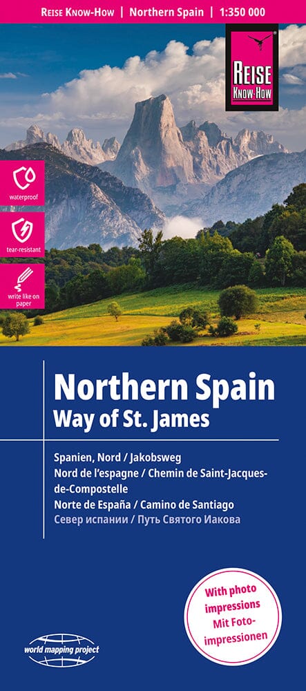
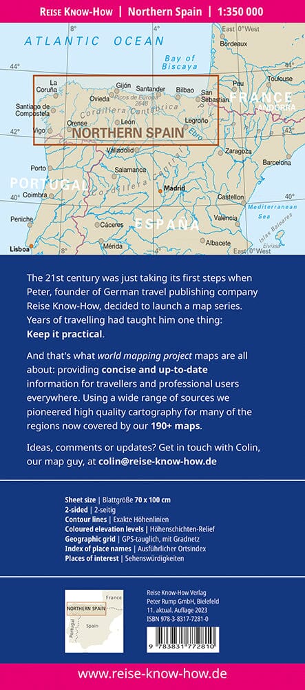
Topographic map of part of the Compostela path in Spain.
each map at 1/50 000 is double - sided and has four panels of 57 x 35 cm with a complete topographic mapping of the area crossed by the 'itinerary. The contours are at 50 m intervals, with shades and colors to show the different types of vegetation (forests, meadows, olive groves, vineyards, etc.).
A superimpression highlights the route and its variants.
Although maps, given their scale, are mainly designed for walkers, suitable alternatives for cyclists are also indicated. The icons indicate various related historic monuments.


