Relief wall map - Canigou massif (France) - 29.5 x 19.5 cm | 3D Map
- Free returns (*)
- Real-time stock levels
-
Cartovia Guarantee – Delivery issue?
We resend immediately upon receiving a simple photo.
📦 Hard-to-find maps - worldwide shipping
📦 Hard-to-find maps & travel guides - worldwide shipping, 30-day returns
🌞 Summer travel: 20,000+ maps in stock
🌞 Plan your summer: 20,000+ maps and travel guides in stock Details →
✅ Latest editions guaranteed — since 2010
✅ Latest editions guaranteed - 180,000+ travellers equipped since 2010
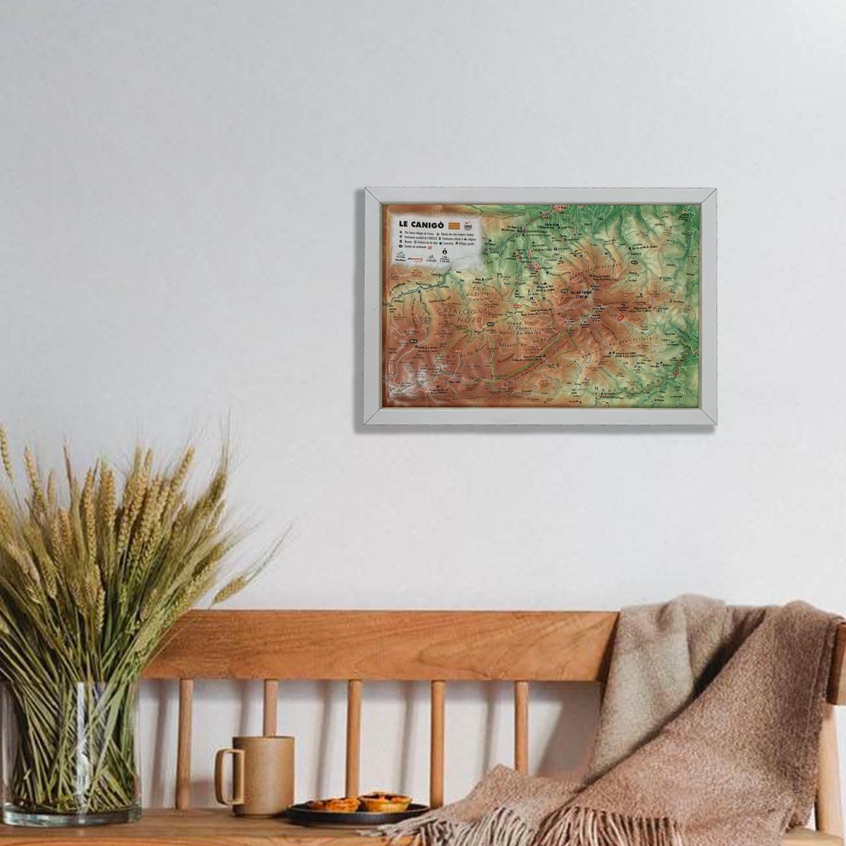
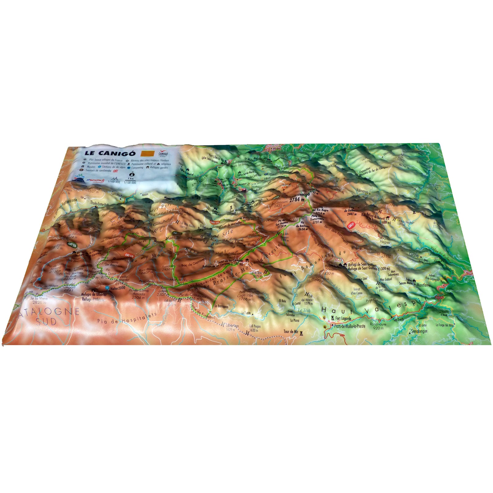
Discover the 3D raised relief wall map of the Canigou Massif by 3D Map, a detailed and beautifully crafted representation of this iconic Pyrenean peak. The relief model enhances terrain readability and adds a striking visual dimension to any interior.
A finishing frame is available as an optional accessory; we strongly recommend it to make hanging easier and to highlight your map.
Hydrological, natural, hypsometric and administrative data
Summits, cultural and religious heritage, parks and gardens
Canyoning areas
Alpine ski resorts
Long-distance hiking trails, GRP routes
Tour du Canigó
Ascending routes to the Canigou
Manned mountain huts
Planimetric scale: 1:130,000
Altimetric scale: 1:100,000
Size: 29.5 × 19.5 cm
A perfect map for mountain lovers, hikers and geography enthusiasts, as well as anyone looking to decorate their home with a unique and educational piece.
ISBN/EAN
: 9791097206321
Publication date: 2021
Scale: 1/130,000 (1 cm = 1.3 km)
Unfolded dimensions: 29.5cm x 19.5cm
Language(s): French
Weight:
32 g
The exclusive newsletter for travel and discovery enthusiasts!