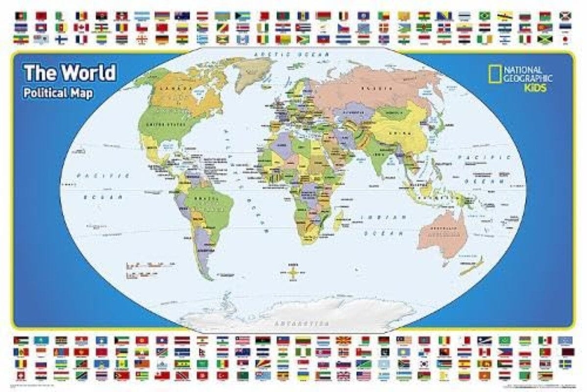
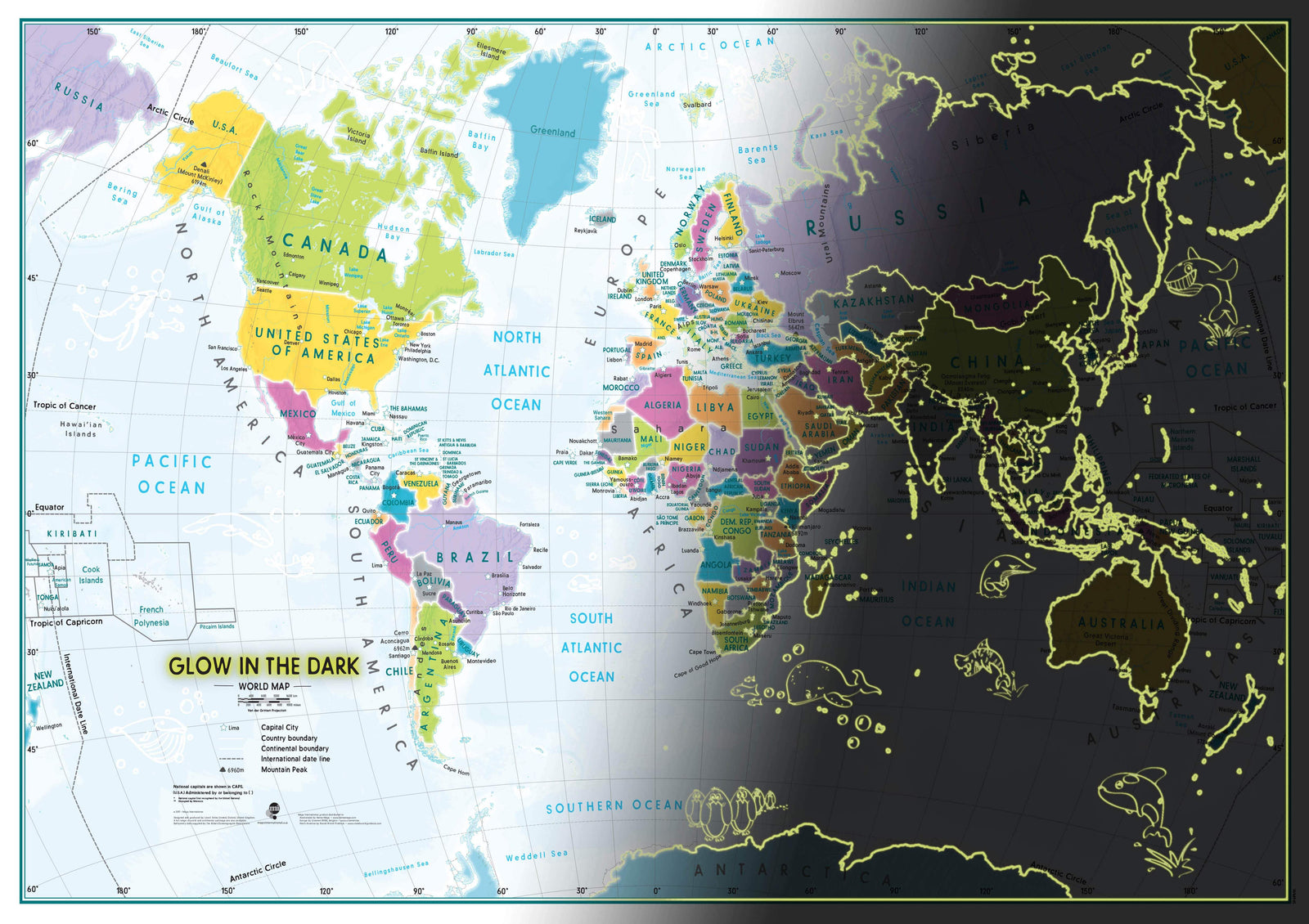
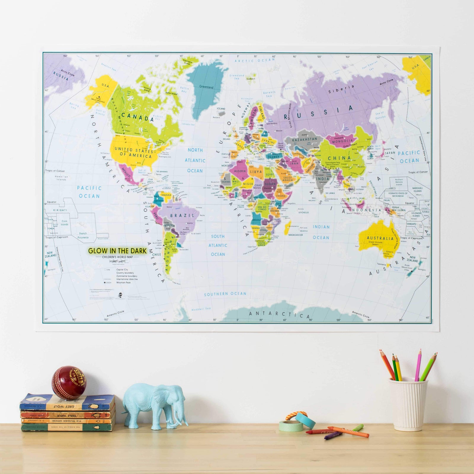
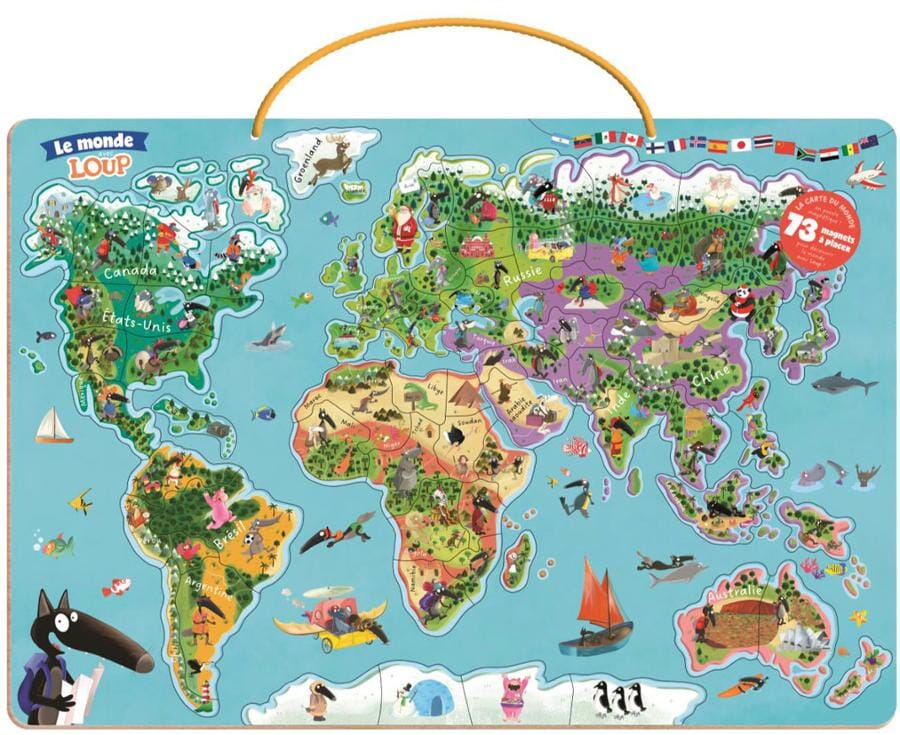
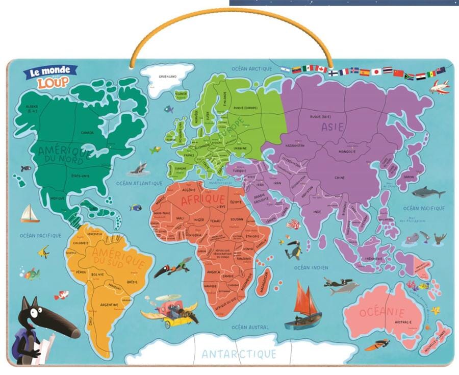
Wall Map - Political World for Kids | National Geographic
Regular price
1899 €
Regular price
Sale price
1899 €
/
-
In stock in the USA and in the UK
Shipped within 24 to 48h from the warehouse closest to you
- Customs duties may apply on import to your country
- Free returns (*)
- Real-time stock levels
-
Cartovia Guarantee – Delivery issue?
We resend immediately upon receiving a simple photo.
- In stock, ready to ship