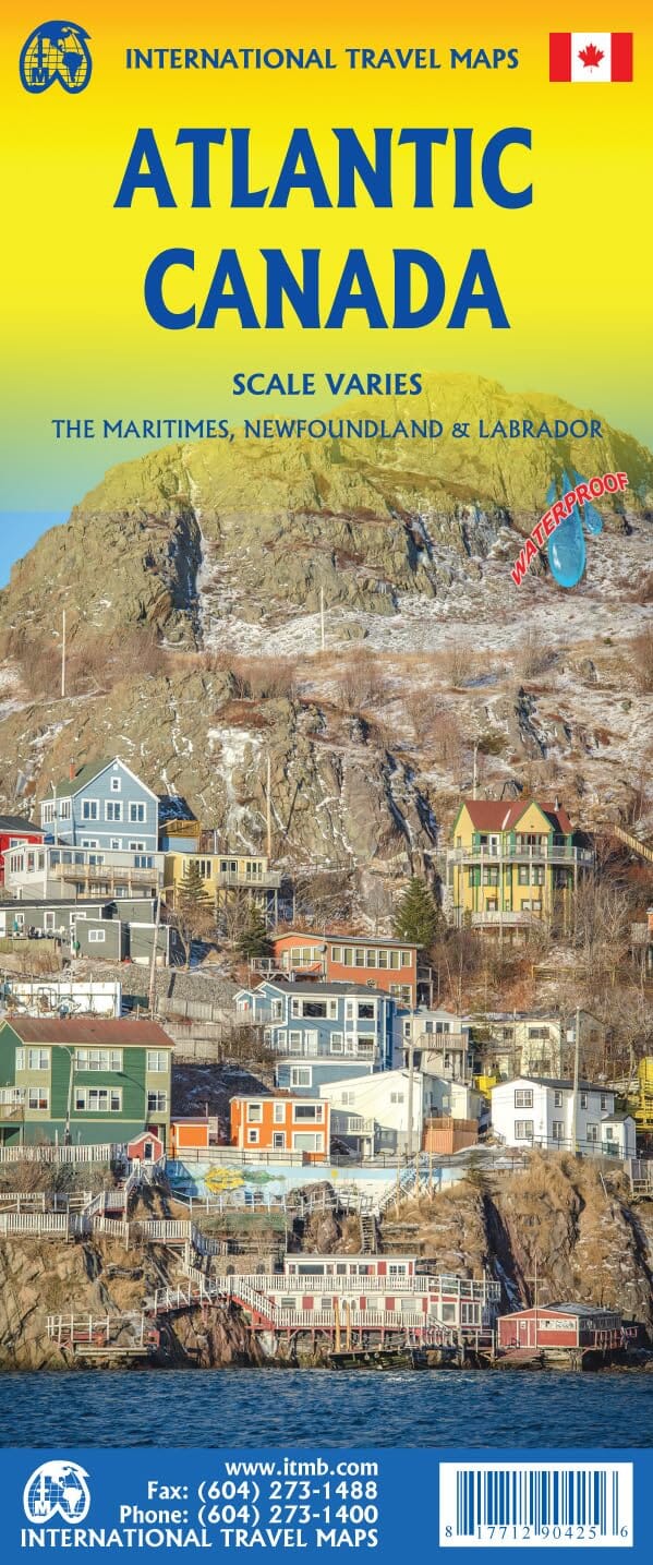
North American Road Atlas, French/English Edition | Canadian Cartographics Corporation
Regular price
1899 €
Regular price
Sale price
1899 €
/
- Free returns (*)
- Real-time stock levels
-
Cartovia Guarantee – Delivery issue?
We resend immediately upon receiving a simple photo.