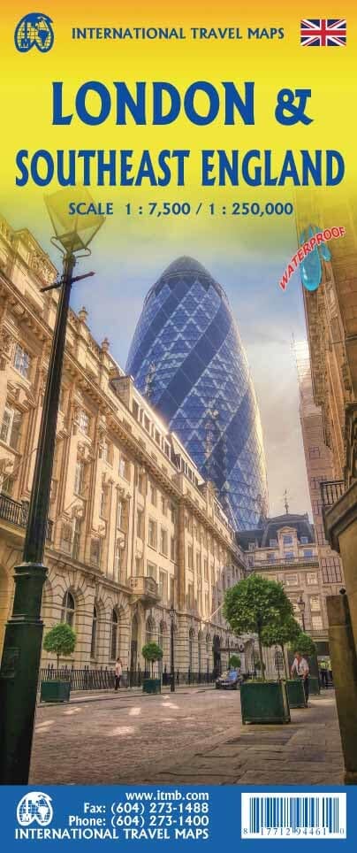
London map & southeast map of England | ITM
- Shipping within 24 working hours from our warehouse in France
- Choose your delivery method and cost at checkout, before confirming your order.
- Free returns (*)
- Real-time inventory
- In stock, ready to ship
Over 19,500 maps 🗺️ and travel guides, hiking maps, posters, globes, and decor in stock!
Explore the world, one map at a time 🗺️
Cartovia is rated Excellent ⭐️ on Trustpilot — 9,100+ reviews from explorers and map lovers worldwide.
Cartovia is rated Excellent ⭐️ on Trustpilot — 9,100+ reviews from explorers and map lovers worldwide
Large Detailed Plan of London, on the front, which shows the many museums, theaters, attractions and parks, as well as some of the hundreds of pubs that the city count.
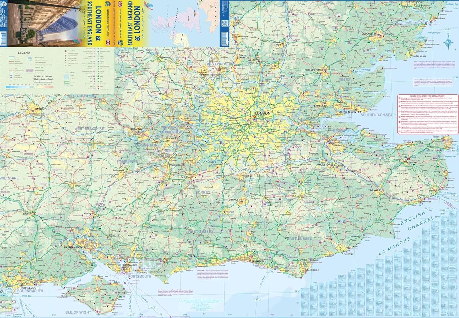
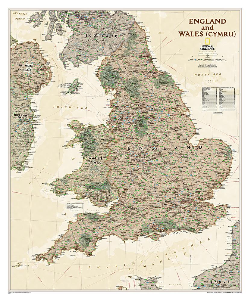
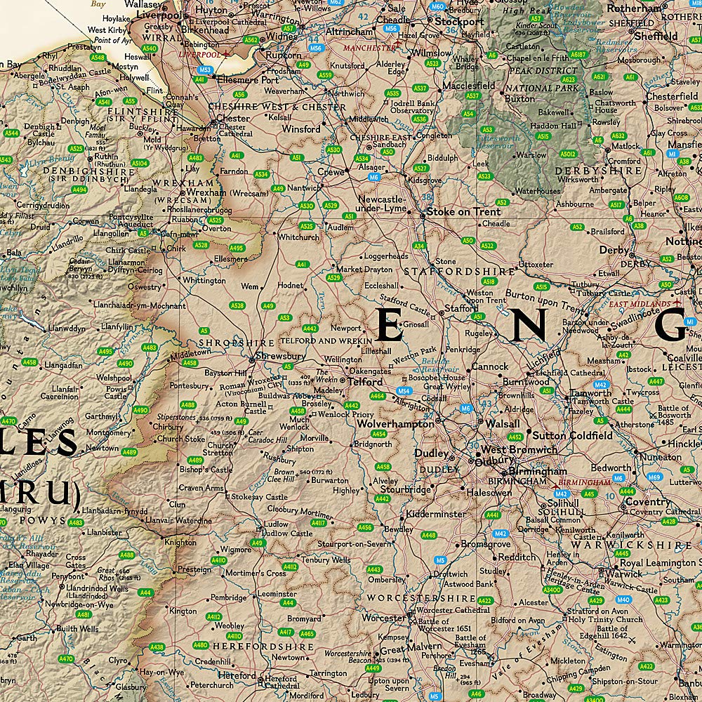
On the back, map of southern England including all cities easily accessible from London: Canterbury, Oxford, Norwich, Birmingham, Caste, and Lincoln. Indication of highways, main and secondary roads, as well as tourist attractions (castles ...). In an inset, map of the Anglo - Norman Islands.
This map is waterproof and resistant to the tear.
ISBN/EAN : 9781771294461
Publication date: 2024
Scale: 1 / 7 500 (1 cm = 75 m) & 1 / 250 000 (1 cm = 2,5 km)
Printed sides: both sides
Folded dimensions: 24.6 x 10.3 x 0.5cm
Unfolded dimensions: 100 x 68 cm
Language(s): English
Weight:
74 g
Produit conforme , livraison très rapide .... parfait !
The exclusive newsletter for travel and discovery enthusiasts!