Road map - Alps | Reise Know How
- Shipping within 24 working hours from our warehouse in France
- Choose your delivery method and cost at checkout, before confirming your order.
- Free returns (*)
- Real-time inventory
- In stock, ready to ship
Over 19,500 maps 🗺️ and travel guides, hiking maps, posters, globes, and decor in stock!
Explore the world, one map at a time 🗺️
Cartovia is rated Excellent ⭐️ on Trustpilot — 9,100+ reviews from explorers and map lovers worldwide.
Cartovia is rated Excellent ⭐️ on Trustpilot — 9,100+ reviews from explorers and map lovers worldwide
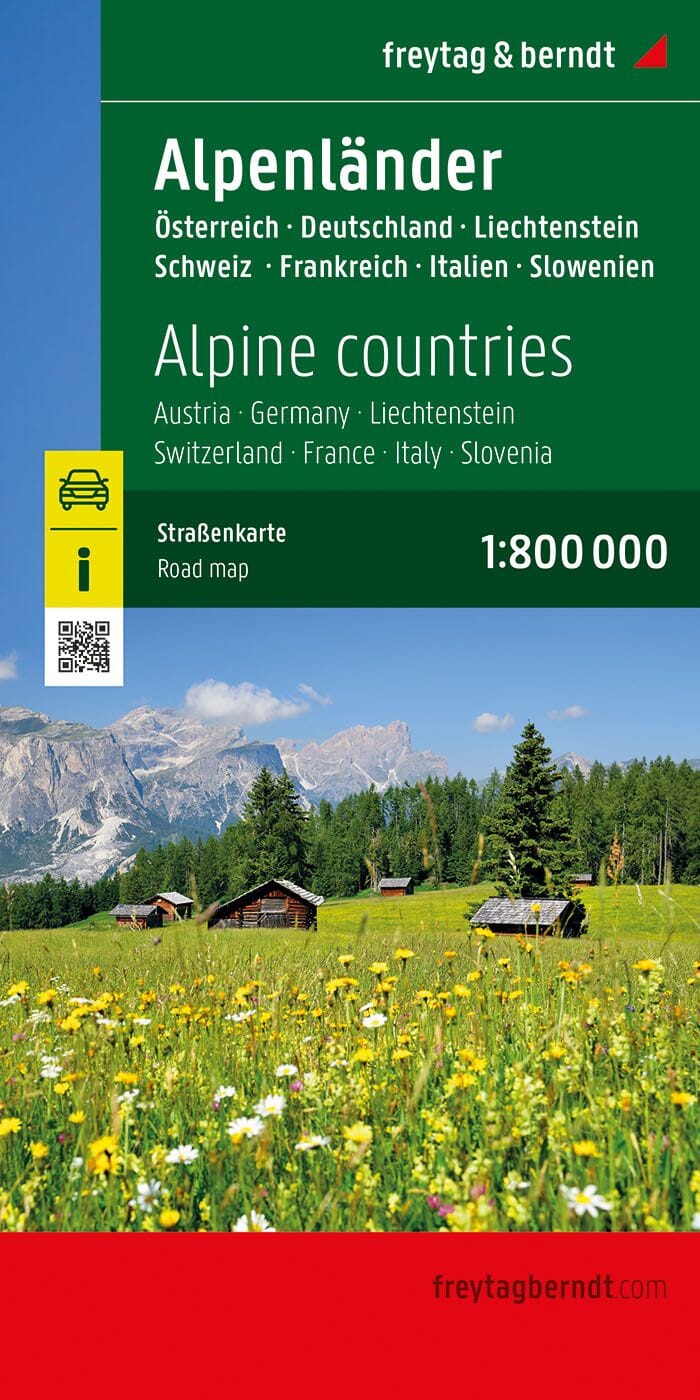
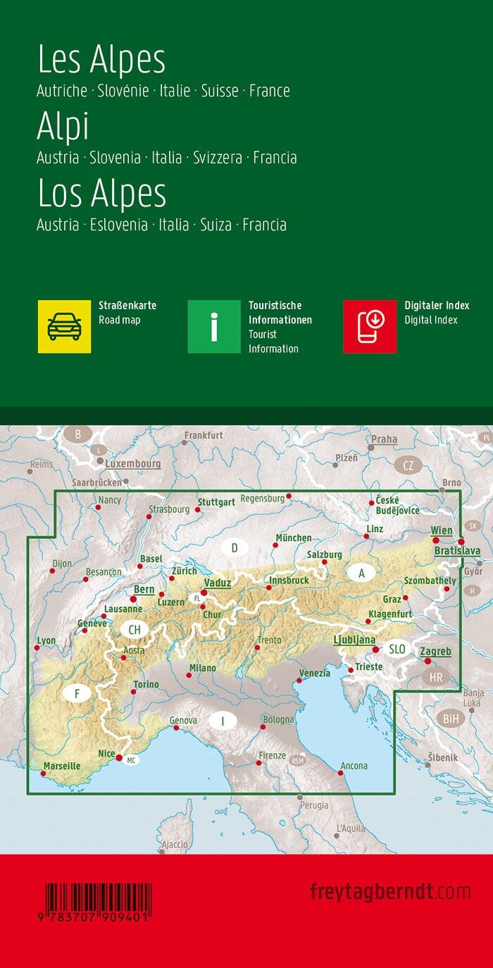
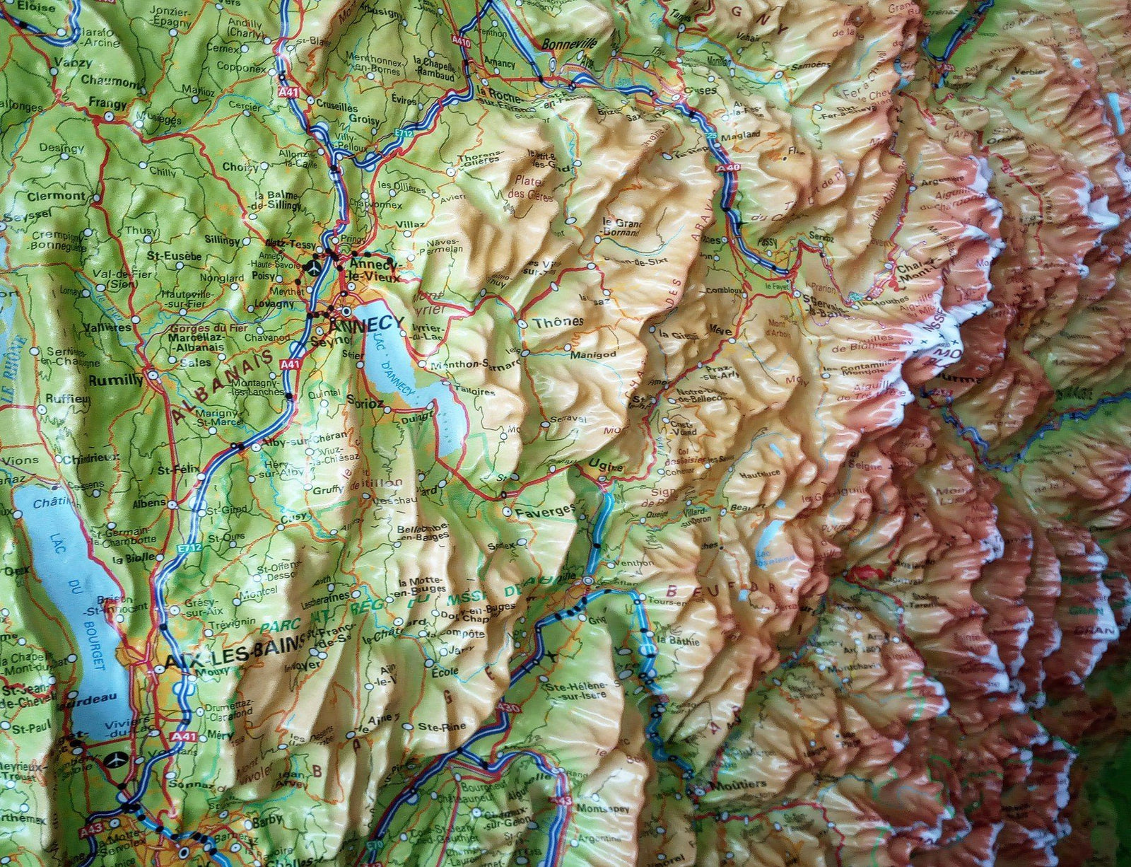
Road map of the Alps published by Reise Know How. On the western half of the map, the coverage extends from western Grenoble and south of Lake Constance to coast Azur, the eastern half ranges from North Munich to Milan (Lake Garda). And includes a large part of Austria with Vienna, Linz and Graz and a large part of Slovenia. p>
Mapping of the relief indicated by the coloring of the altitude, the names of the mountains (with their altitude), valleys etc ... The road network is clearly presented with the road numbers, the motorway junctions in Germany, in Austria, France and Switzerland and distances on the main roads. Indication of rail lines, various points of interest, including UNESCO World Heritage sites, castles, etc ... cities index. P>
This detailed map of the Alps is indich and waterproof. p>
1/550 000 scale (1 cm = 5.5 km). p>
ISBN/EAN : 9783831774005
Publication date: 2022
Scale: 1/550,000 (1cm=5.5km)
Printed sides: both sides
Folded dimensions: 26 x 11.5 x 0.8cm
Unfolded dimensions: 100x70cm
Language(s): French, German, English, Spanish, Russian
Weight:
80 g
Idéal pour préparer roadtrip moto dans toute la chaîne des alpes
Manque juste un peu de détails au niveau des villes
Il manque les distances entre les villes et villages sur les petites routes, cela rend un itinéraire difficile à évaluer en distance, ce qui peut être utile pour un voyage à moto sur plusieurs pays.. Beaucoup de cols ne figurent pas (Petit St Bernard p ex), un comble pour une carte sur les Alpes. Et la lisibilité des villes est très mauvaise, une Michelin est bien plus facile à lire et utiliser. J'ai passé/perdu beaucoup de temps à me repérer à partir des Michelin de chaque pays concerné...Son avantage: couvrir toutes les Alpes.
Je prépare un road trip moto à travers l'Europe et je souhaitais commencer par traverser les Alpes. Cette carte recouvre 6 pays, est très compacte et robuste (inutile donc d'emporter 6 cartes de pays. Les routes secondaires sont présentes et la lisibilité est bonne. Que demander de plus ? Seul "petite" difficulté: faire la jointure entre le recto et verso de la carte, mais bon, je pinaille! !
conforme à mes attentes, bonne qualité, regroupe les différents pays donc évidemment c'est écrit en tout petit mais parfait pour mon usage!
carte qui regroupe tous les pays traversés par les alpes
Parfaite pour le périple envisagé.
The exclusive newsletter for travel and discovery enthusiasts!