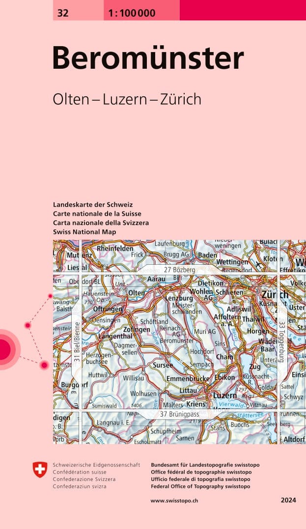
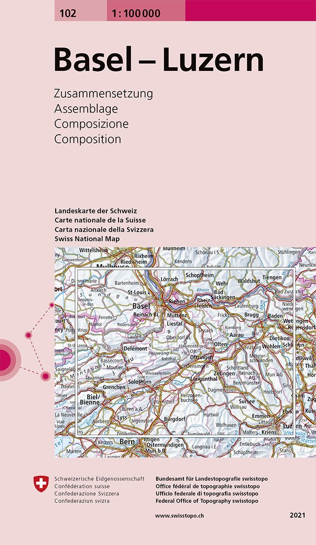
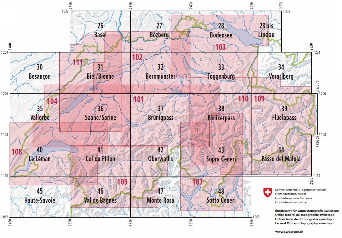
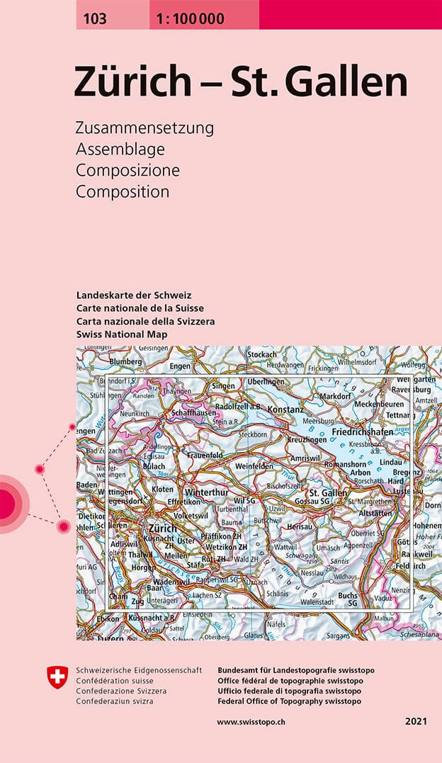
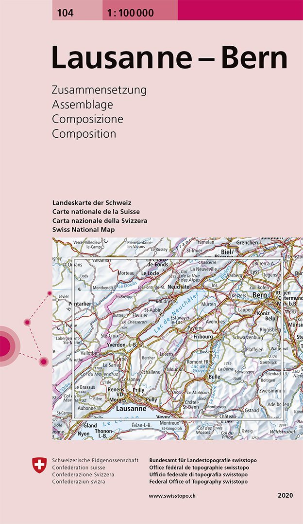
Topographic map published by Swisstopo intended for hiking that covers the area around Beromünster, in the canton of Lucerne (North Center of Switzerland). Level curves and mountain information included.
- full rail network, all highways and fast tracks, most roads and paths.
- motorway areas, highways and national roads legendés.
- Accurate representation of agglomerations and field.
- Legend of many objects represented.
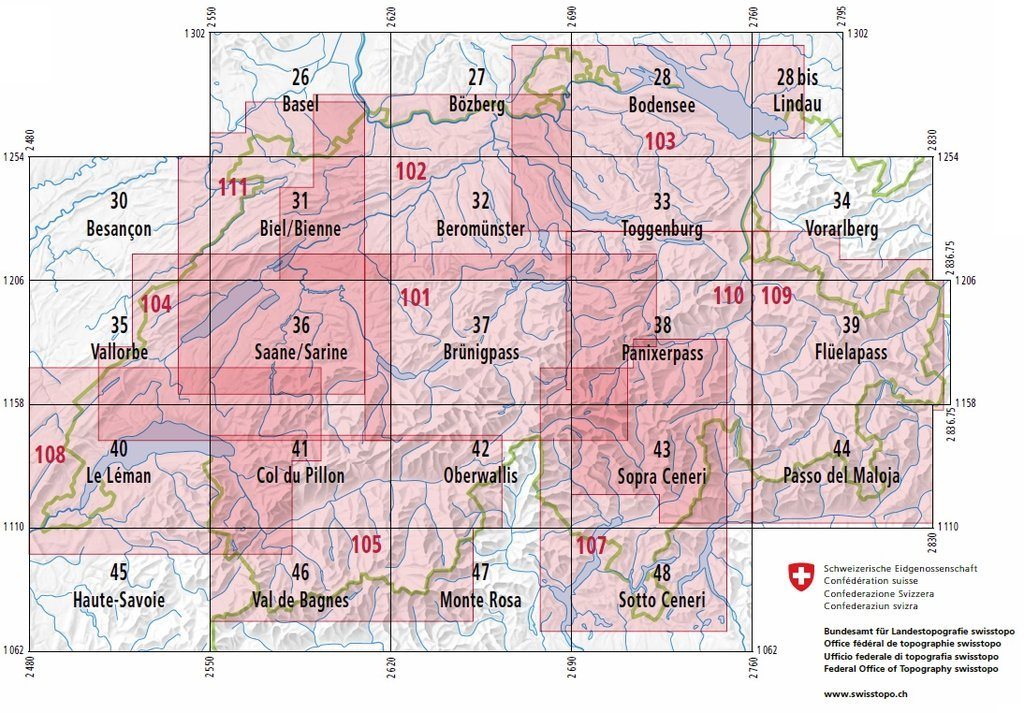
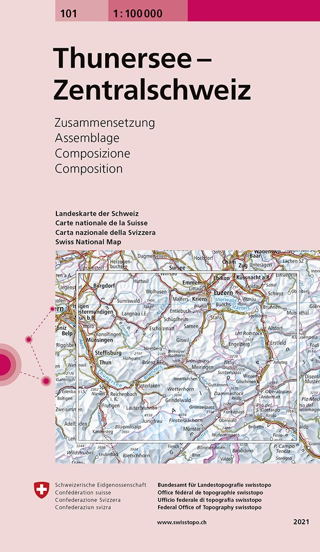
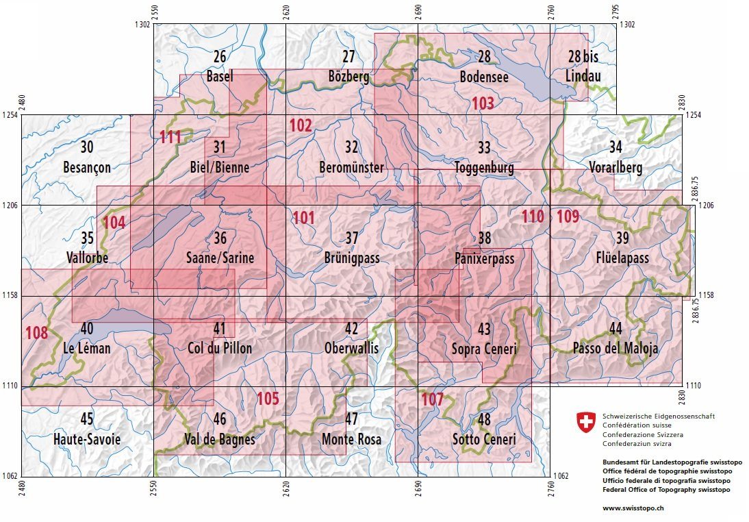
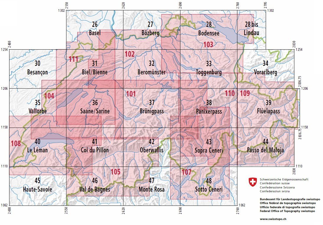
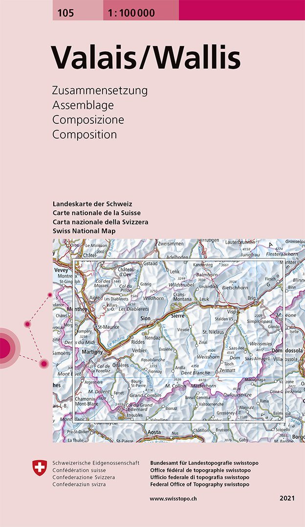
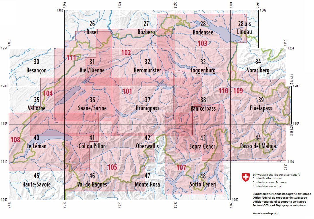
This series of maps at 1/100 000 (1 cm = 1 km) includes 26 maps of Switzerland and surrounding areas, plus 6 summary maps that cover interesting areas from a tourist or geographical point of view. < / span>


