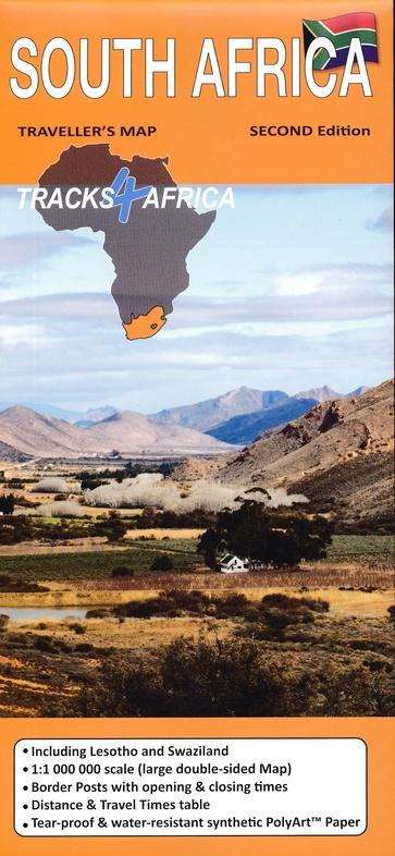
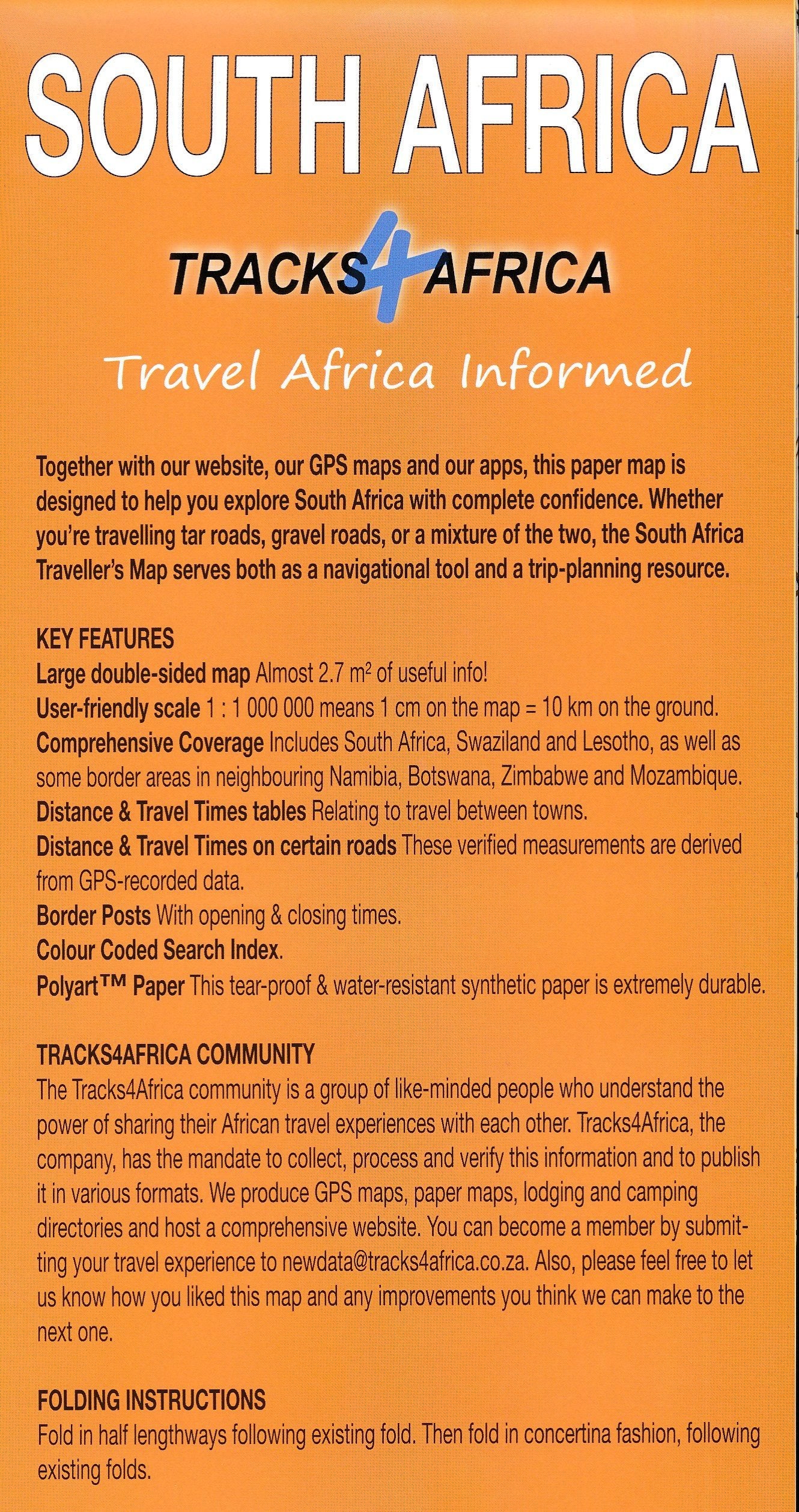
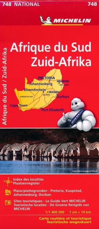
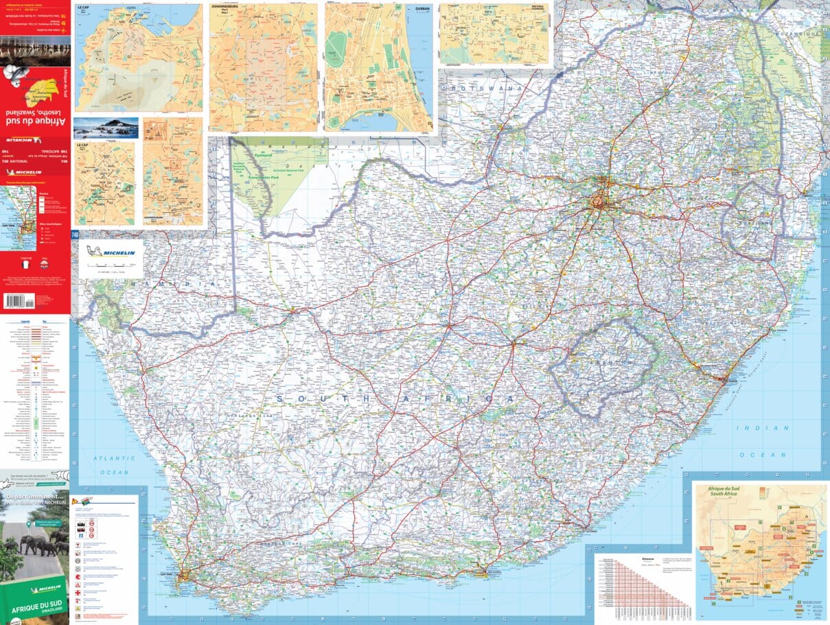
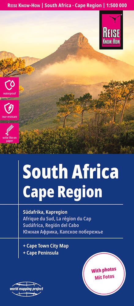
City map - Cape Town & Peninsula (South Africa) | MapStudio
- Free returns (*)
- Real-time stock levels
-
Cartovia Guarantee – Delivery issue?
We resend immediately upon receiving a simple photo.
📦 Hard-to-find maps - worldwide shipping
📦 Hard-to-find maps & travel guides - worldwide shipping, 30-day returns
🌞 Summer travel: 20,000+ maps in stock
🌞 Plan your summer: 20,000+ maps and travel guides in stock Details →
✅ Latest editions guaranteed — since 2010
✅ Latest editions guaranteed - 180,000+ travellers equipped since 2010
This detailed and up - to - date map of the Cape Town includes a detailed map of the city of Cape City with a Waterfront inset. p>
She shows schools, span> sports fields, span> sports clubs, span> hospitals, span> clinics, span> municipal clinics, span> shopping centers, span> service stations, span> commercial spaces, span> parks, span> natural trails, span> main itineraries, traffic lights, road signs, metropolitan road numbers, one - way streets, names and limits suburb, municipal limits, police stations, traffic services and fireboxes. p>
Cover: North
: Milnerton West: Hout Bay
Est: Jakes Gerwel (Vanguard Drive)
South: Muizenberg
ISBN/EAN
: 9781776170036
Publication date: 2019
Scale: 1/25000 (1cm=250m)
Printed sides: both sides
Language(s): English
Weight:
75 g
The exclusive newsletter for travel and discovery enthusiasts!