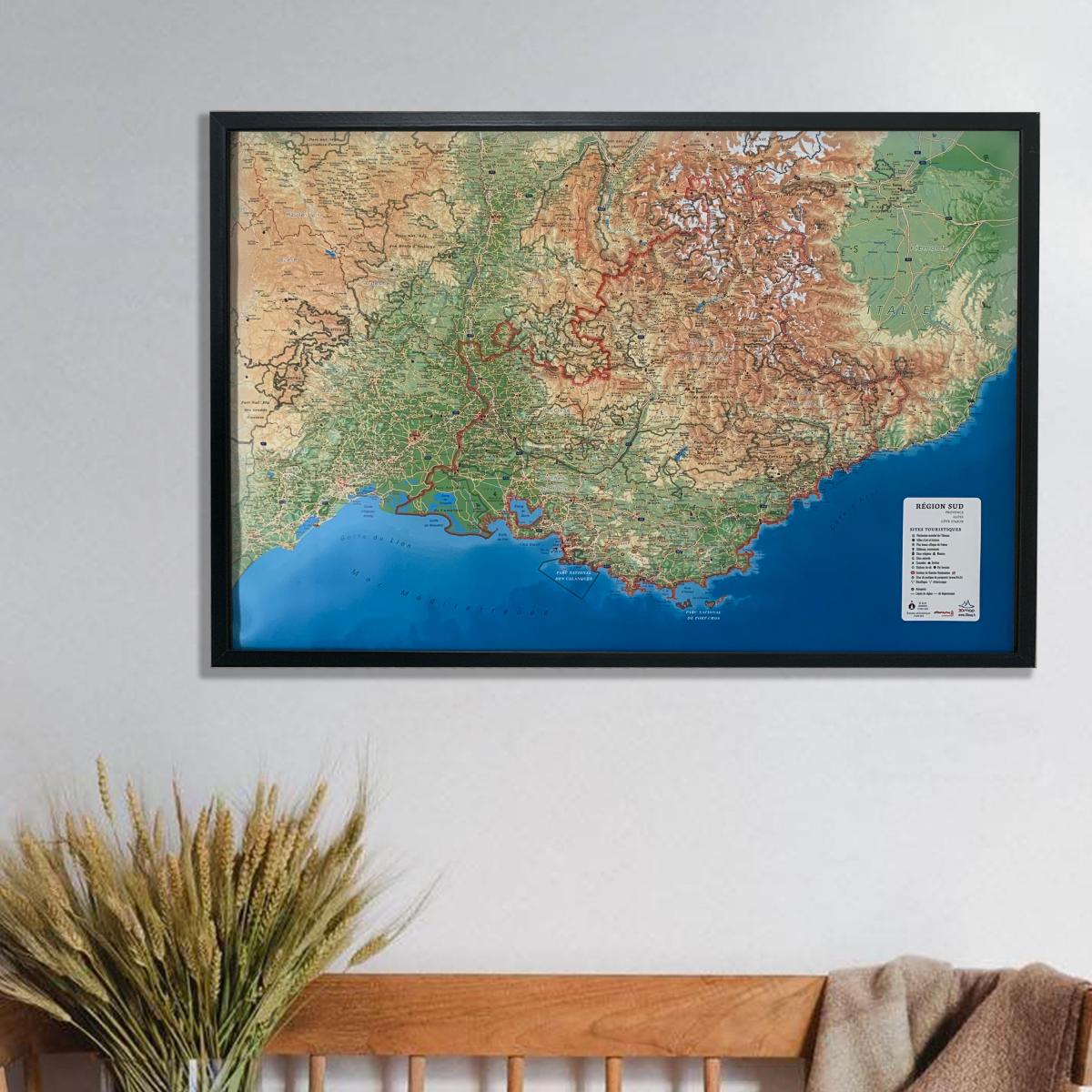
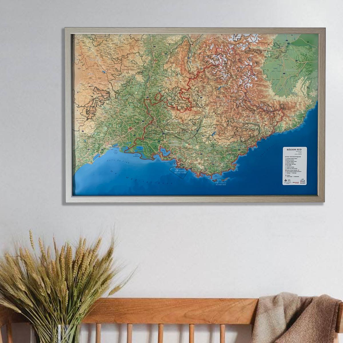
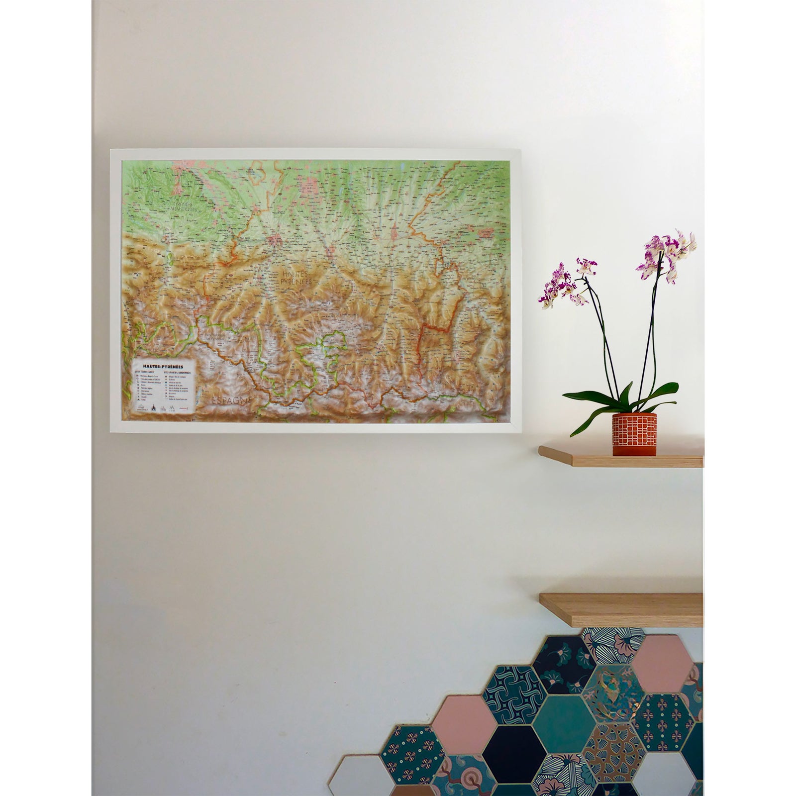
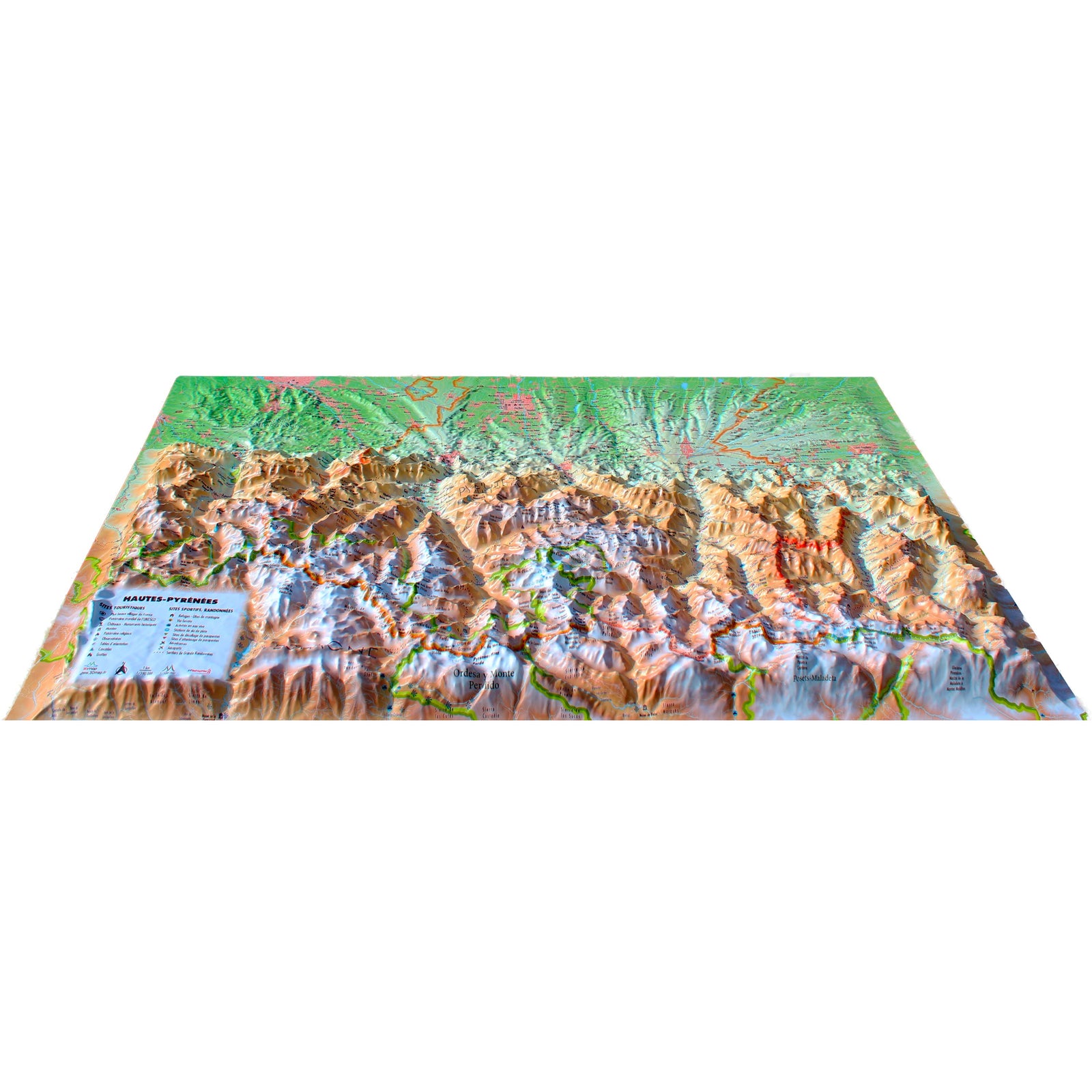
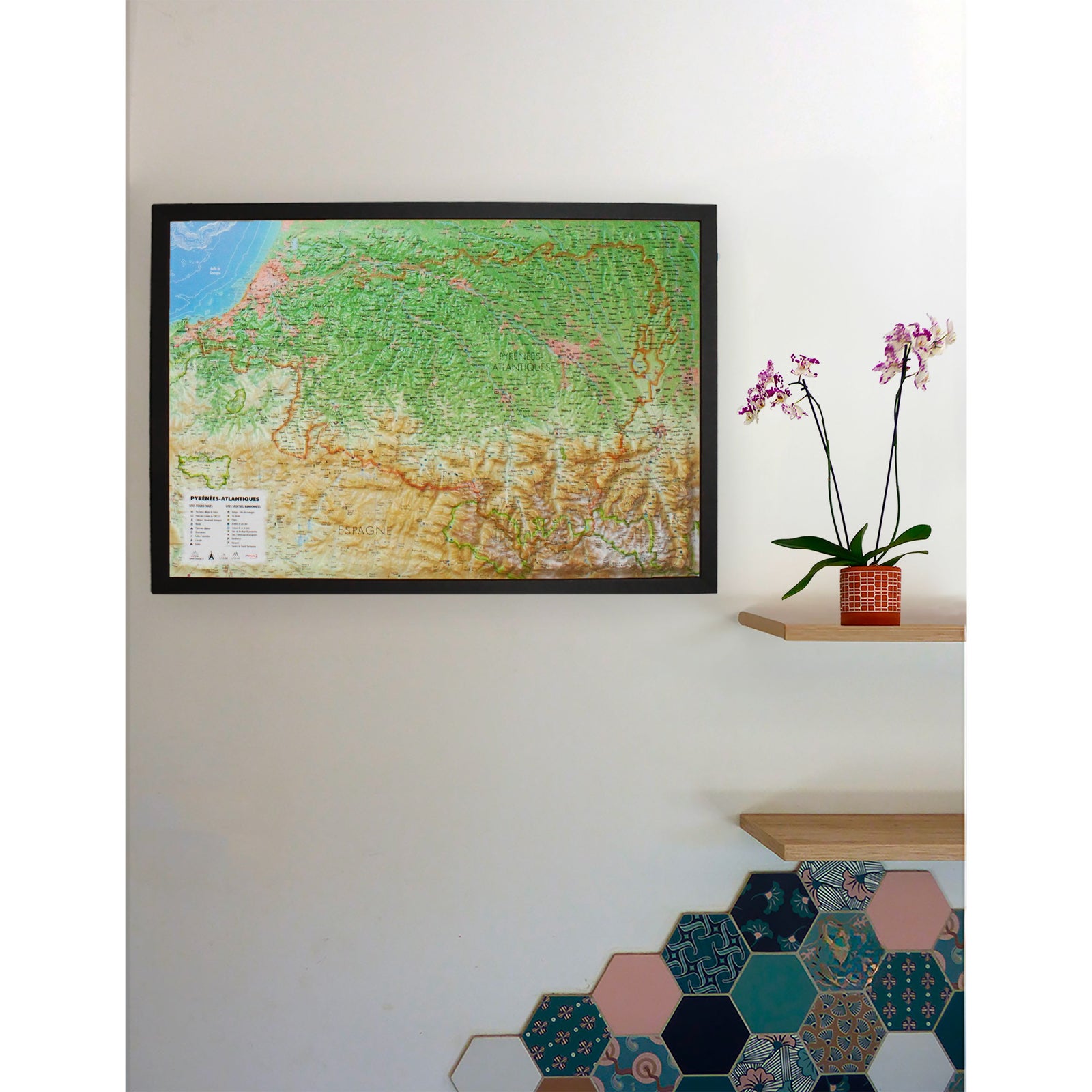
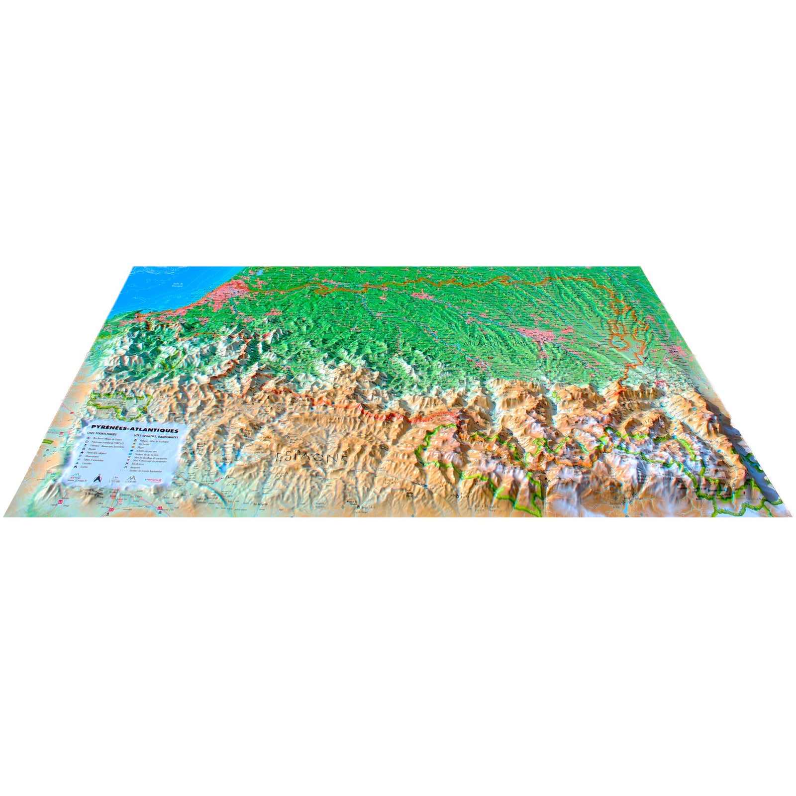
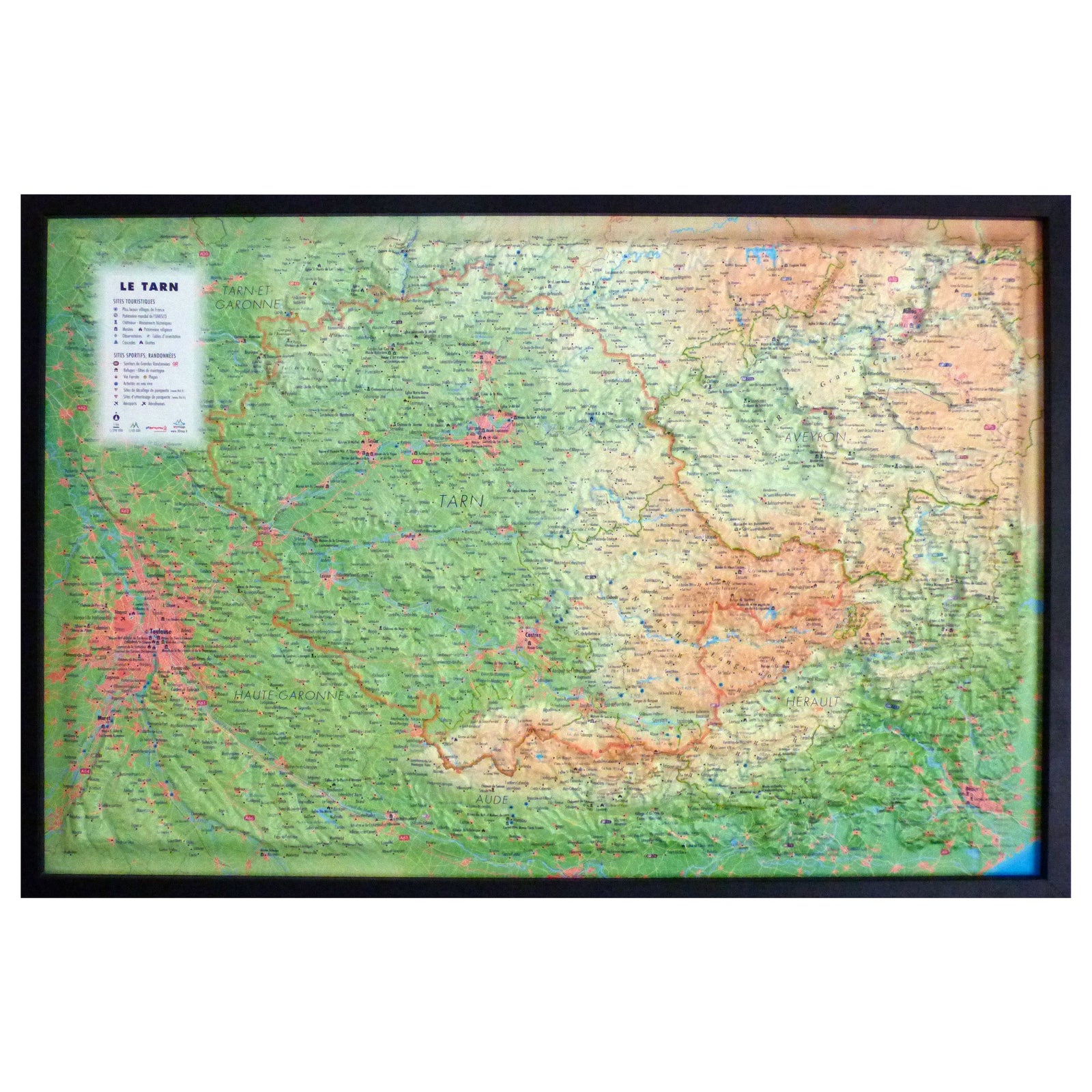
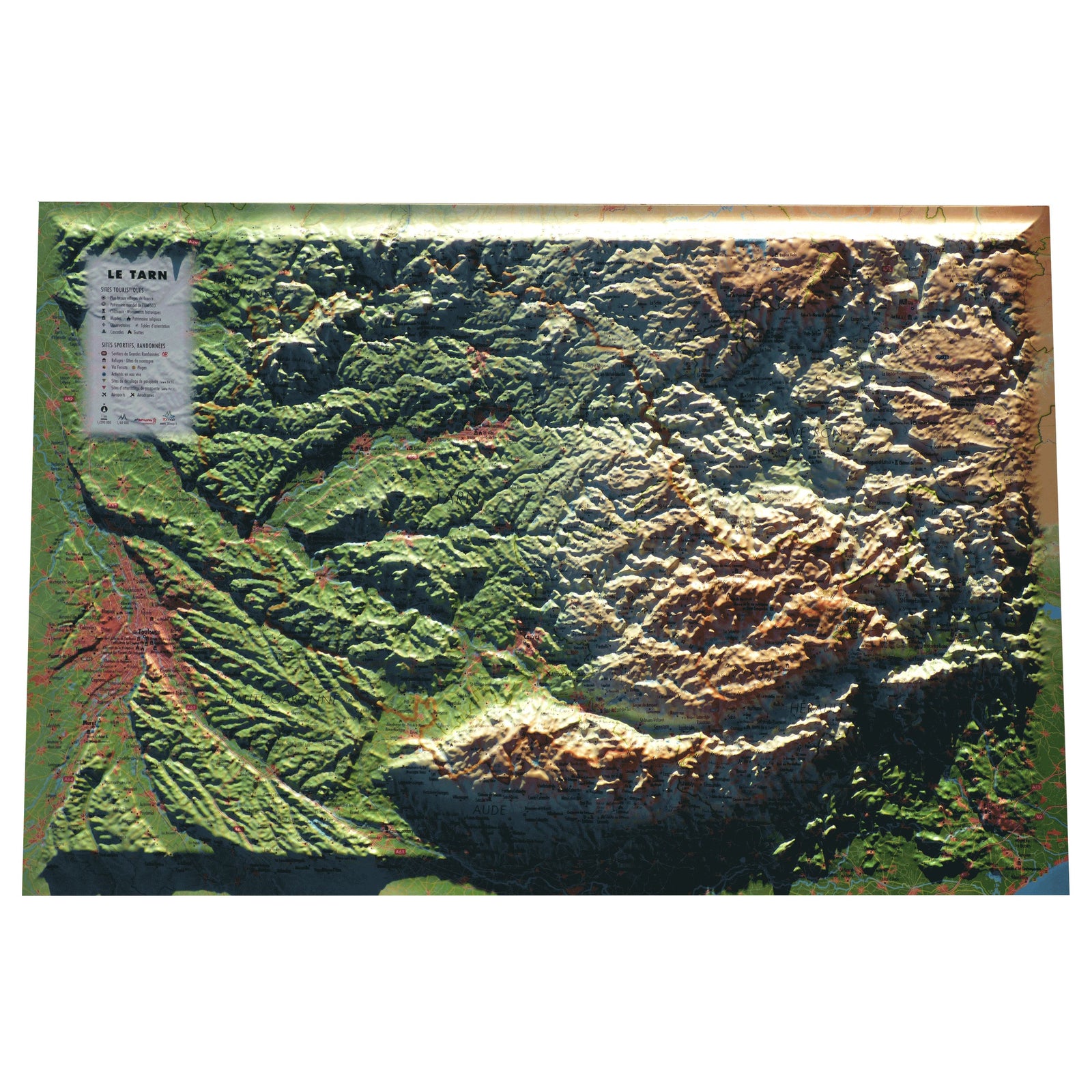
3D Raised relief map - Provence-Alpes-Côte d'Azur Region (41 cm x 61 cm) | 3D Map (French)

Price
Regular price 3990 €
Regular price Sale price 3990 €
/
  • Ships within 24 business hours from our warehouse in France
  • Real-time inventory
  • Cartovia Guarantee – Delivery issue?
    We resend immediately upon receiving a simple photo.
  • In stock, ready to ship
  • Backordered, shipping soon
Tax included.

Often purchased together:

Explore the diversity of Southern France with this raised relief wall map of the Provence-Alpes-Côte d’Azur (PACA) region, showcasing coastal plains, Alpine massifs, gorges, natural sites, historic towns and picturesque villages. Its precise 3D modeling offers a clear understanding of the landscapes that define one of France’s most iconic regions.

A finishing frame is available as an optional accessory; we strongly recommend it for easier hanging and an enhanced presentation.


Information shown on the map:

General data:

  • Hydrological, natural, hypsometric and administrative information

Touristic & cultural sites:

  • UNESCO World Heritage sites

  • Museums

  • Most Beautiful Villages of France

  • Towns of Art and History

  • Golf courses

  • Beaches

  • Aerodromes

  • Railway stations

Historical & religious landmarks:

  • Legendary monuments and castles

  • Religious sites

  • Oppidums

  • Paragliding sites (take-off & landing zones)

Natural sites & outdoor activities:

  • Waterfalls, gorges and caves

  • Natural sites

  • Ski stations

  • Long-distance hiking trails (GR)

  • Via ferrata routes

  • White-water activity zones

Observation & orientation:

  • Observatories

  • Orientation tables


Scale:

  • 1 : 700,000

A perfect map for nature lovers, hikers, heritage enthusiasts and admirers of Provence and the Southern Alps, as well as a decorative statement piece for home or office.


ISBN / EAN : 9791097206024
Date de publication : 2017
Echelle : 1/700,000 (1cm=7km)
Dimensions déplié(e) : 61cm x 41cm
Langue : French
Poids : 136 g