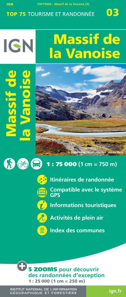
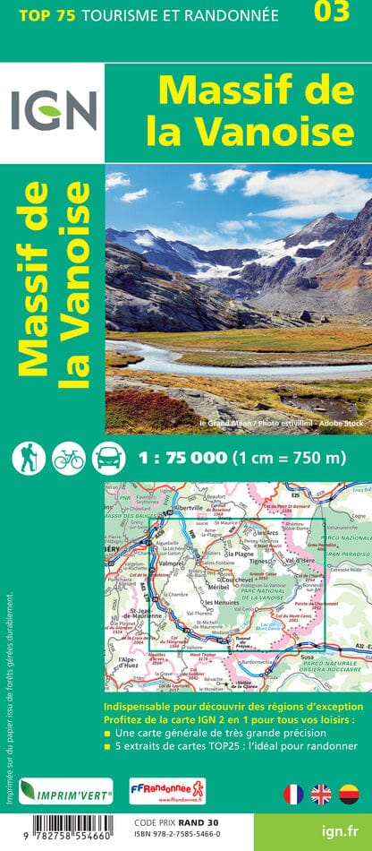
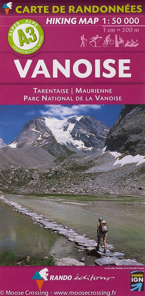
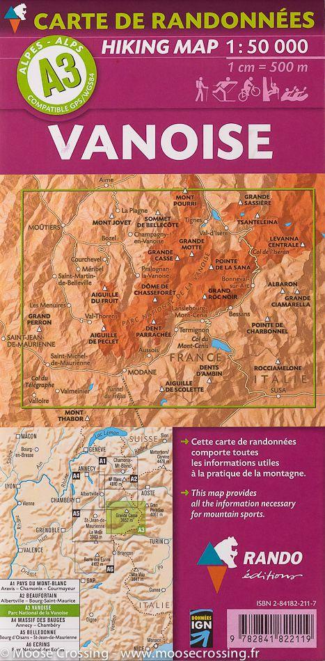
IGN TOP 25 hiking map No. 3633 ETR (durable) - Tignes, Val d'Isère, Haute Maurienne, Vanoise National Park

Price
Regular price £1600
Regular price Sale price £1600
/
  • Ships within 5 to 8 working days
    (Currently in transit to our warehouse in France)
  • Cartovia Guarantee – Delivery issue?
    We resend immediately upon receiving a simple photo.
Tax included.

Often purchased together:

IGN TOP 25 topographic map no. 3633ETR of the region around Tignes and Val d'Isère, including the Haute Maurienne valley and part of the Vanoise National Park. This map extends from Tignes to the Mont Cenis Pass (north to south) and from La Grande Casse to the Italian border (west to east).
Hiking map with 10-meter contour lines and detailed legend (vegetation, rocks, rivers, etc.). Hiking trails indicated. Scale 1:25,000. GPS compatible map.

This map is printed on a laminated, tear-resistant material, ideal for outdoor activities.
Double-sided map: reduced bulk for easy handling.


ISBN / EAN : 9782758557715
Date de publication : 2026
Echelle : 1/25,000 (1cm=250m)
Impression: both sides
Dimensions plié(e) : 23.6 x 11.2 x 0.5cm
Dimensions déplié(e) : 50 x 132cm
Langue : French, English, German
Poids : 86 g