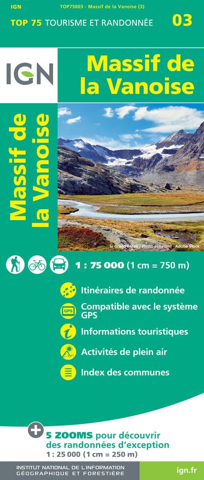
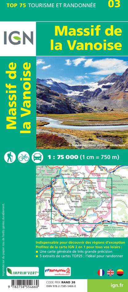
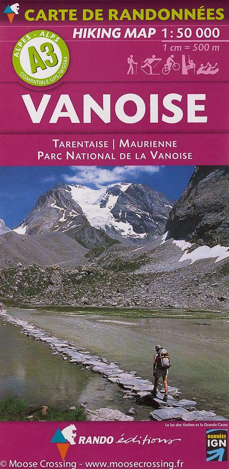
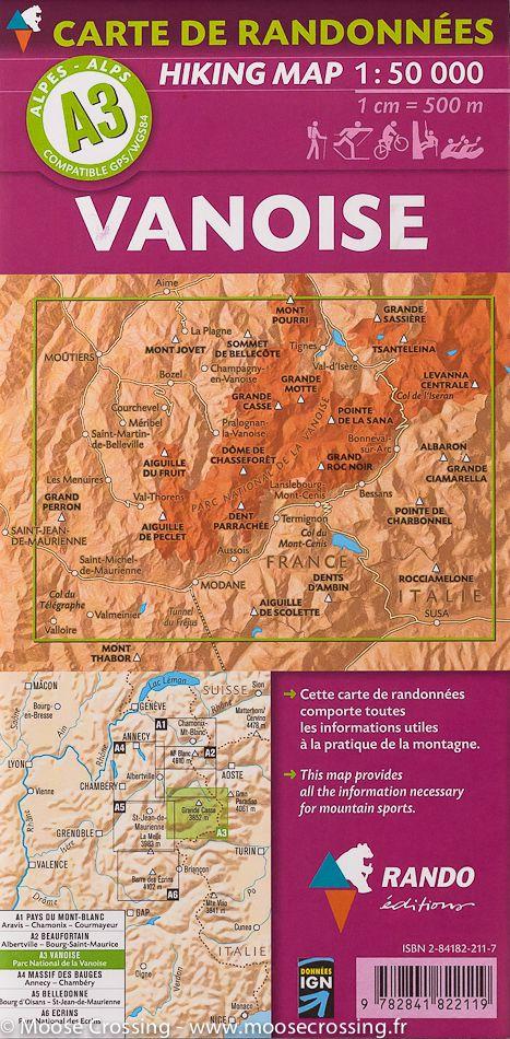
The IGN TOP 25 hiking map No. 3532 ETR covers the following area: Les Arcs & La Plagne, Vanoise National Park, Alps in its durable version.
IGN TOP 25 topographic map No. 3532ETR of the area around Les Arcs and La Plagne, including part of the Vanoise National Park.
The map extends from Bourg-Saint-Maurice to Val d'Isère from north to south, and from Aime to the Italian border from west to east.
- Contour lines at 10-metre intervals.
- Detailed legend: vegetation, rocks, watercourses and more.
- Hiking trails are shown.
- Scale: 1:25,000 (1 cm = 250 m).
- GPS-compatible map.
- The map is printed on a laminated, tear-resistant material, ideal for outdoor activities.
Municipalities covered: Les Chapelles, Bourg-Saint-Maurice, Landry, Montvalezan, Villaroger, Sainte-Foy-Tarentaise, Tignes, La Plagne Tarentaise.
Places to discover: Glacier du Rutor, Lake Chevril, Glacier de l'Invernet, Lake la Sassière, Glacier de la Sassière, Punta Bassac Sud, la Tsanteleina, Pointe des Mines, Punta Bassac Nord, Testa del Rutor, Dôme de la Sache, Pointe de la Traversière, Pointe d'Archeboc, Mont Pourri, Rochers Rouges, Mont Pass, Roche de Mio, Sommet de Bellecôte, Grande Traversière.