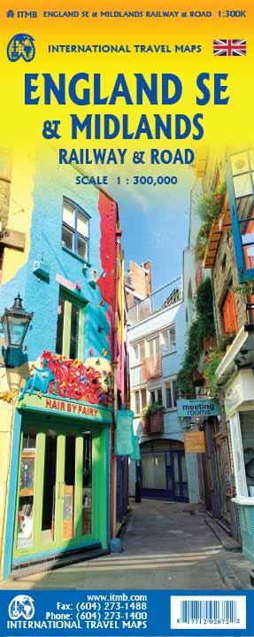
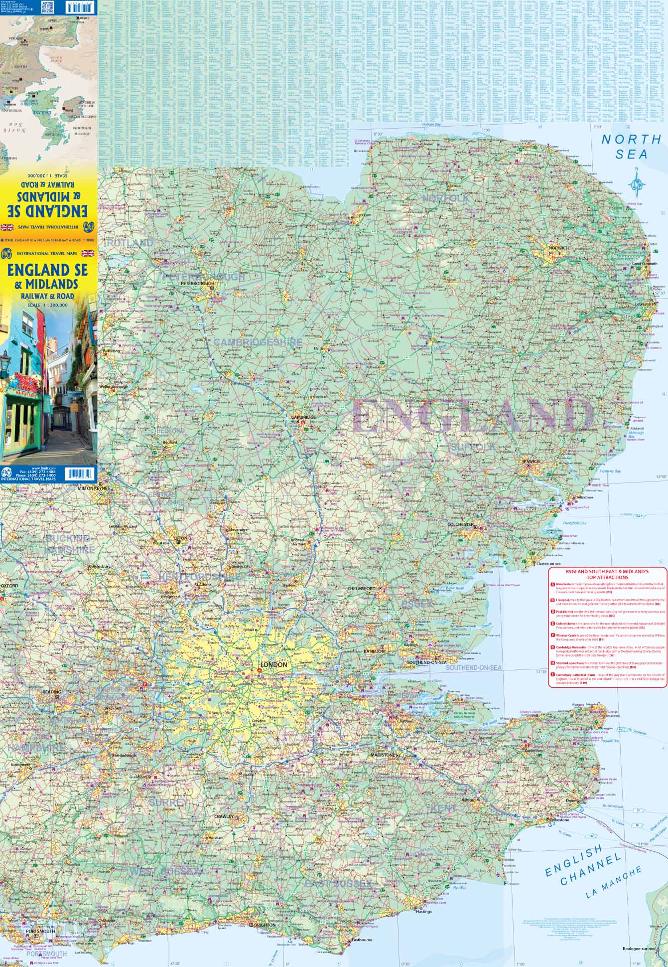
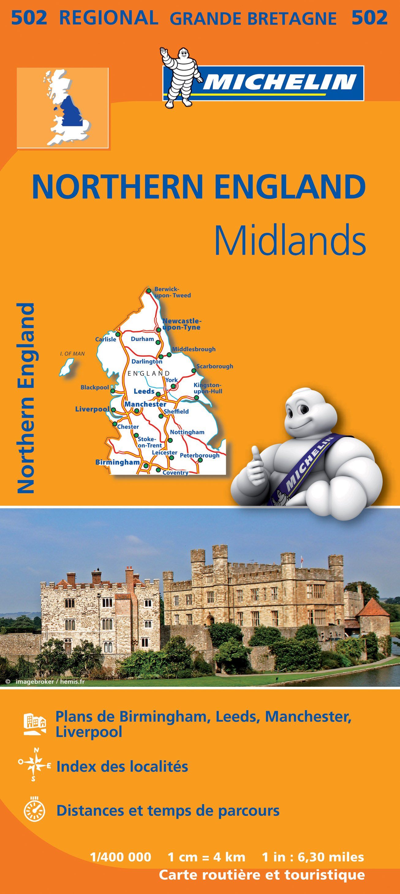
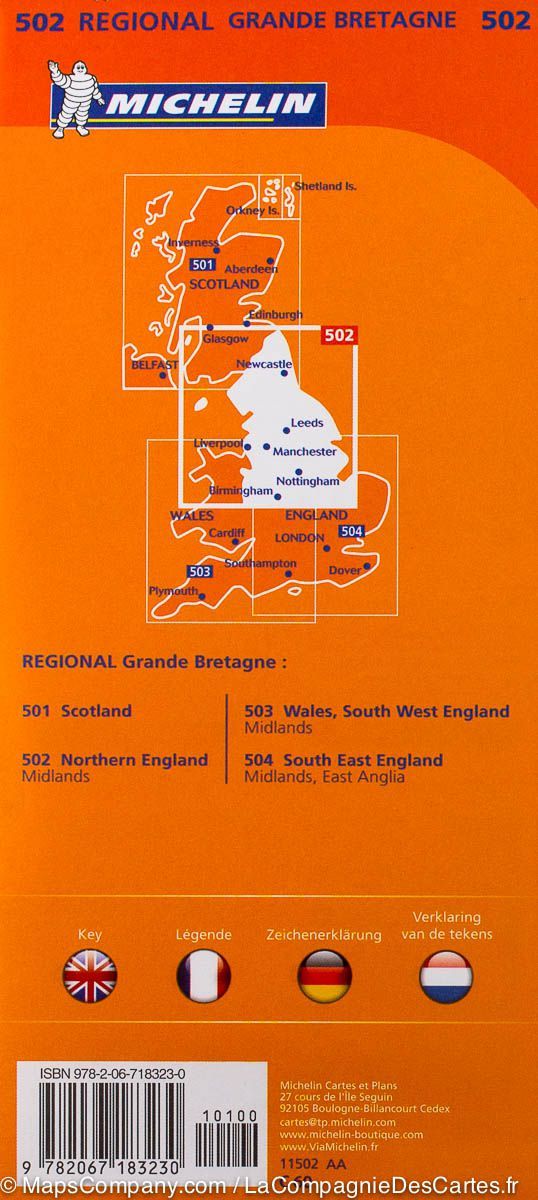
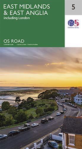
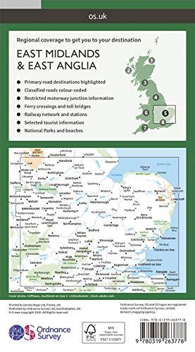
Detailed road map from Southeast of England and Midlands published by ITM.
The front of the map extends from the handle to the northern tip of East Anglia and to the west to Portsmouth / Reading / Peterborough. The London region is included on this face.
The back is composed of this complex part of England generally called "The Midlands" stretching from Cambridge / Peterborough at the Welsh Border and Luton / Gloucester in Manchester / Grimsby.
Index of cities included.
All highways are indicated, but railway lines are also highlighted, to encourage train trips. Tourist attractions indicated.
The legend includes: park, airport, museum, monument, point of view, hotel, beach, zoo, university, etc.


