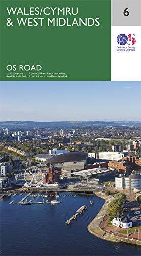
Road map no. 6 - Wales & West Midlands | Ordnance Survey - Road

Price
Regular price £799
Regular price Sale price £799
/
  • In stock in France and in the UK
    Shipped within 24 to 48h from the warehouse closest to you
  • Free returns (*)
  • Real-time stock levels
  • Cartovia Guarantee – Delivery issue?
    We resend immediately upon receiving a simple photo.
  • In stock, ready to ship
  • Backordered, shipping soon
Tax included.

Frequently bought together:

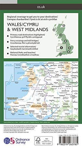
This detailed road map of Wales and the West Midlands is published by Ordnance Survey. Reference: 6.

National parks, forests and relief are highlighted.

The map extends north to Liverpool and the southern part of Peak District National Park, east to Sheffield and Coventry, and south to Bristol.

Scale: 1:250,000 (1 cm = 2.5 km).


ISBN/EAN : 9780319263785
Publication date: 2020
Scale: 1/250,000 (1cm=2.5km)
Printed sides: front
Folded dimensions: 13.5 x 24cm
Unfolded dimensions: 125 x 98cm
Language(s): English
Weight: 128 g