Waterproof hiking map – Acadia National Park (with Schoodic and Mount Desert Island) | Map Adventures

Price
Regular price £1200
Regular price Sale price £1200
/
  • Shipped within 24 to 48h from our warehouse in the USA
  • All-inclusive price: customs duties are already paid by Cartovia
  • Free returns (*)
  • Real-time stock levels
  • Cartovia Guarantee – Delivery issue?
    We resend immediately upon receiving a simple photo.
  • In stock, ready to ship
  • Backordered, shipping soon
Tax included.

Frequently bought together:

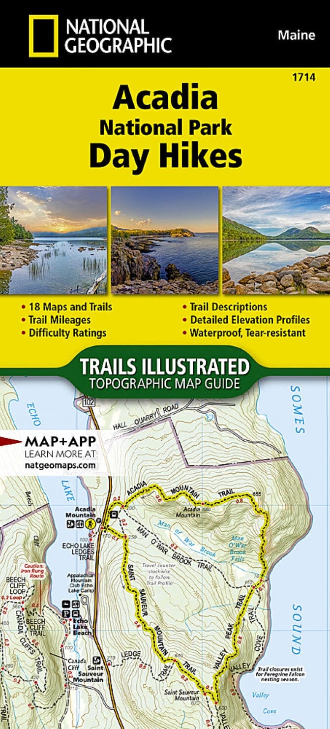
This hiking map covers Acadia National Park (with Schoodic and Mount Desert Island).

Explore Maine's finest hiking and cycling trails with this durable, waterproof map, designed to last for several trips. It now includes the Schoodic Peninsula and the new visitor centre.

Map features

  • 21 suggested hikes
  • 6 suggested cycling routes
  • Complete map of Mount Desert Island
  • Point-to-point distances on trails and carriage roads
  • Intersection sign numbers on carriage roads
  • Island Explorer bus stops
  • Latitude/longitude grid for GPS
  • Campsites
  • Points of interest
  • Detailed map of Bar Harbor
  • Trail index with difficulty ratings

Areas covered

National park lands on the east and west sides, including

  • Bar Harbor
  • Somes Sound
  • Jordan Pond, Eagle Lake
  • Long Pond, Echo Lake
  • Bass Harbor, Seal Cove Pond
  • Southwest Harbor, Northeast Harbor
  • Norumbega Mountain, Bernard Mountain
  • Cadillac Mountain


ISBN/EAN : 9788900605891
Publication date: 2025
Scale: 1/20,500 (1 cm = 205 m)
Folded dimensions: 8.125 inches x 4.125 inches (20 x 10 cm)
Unfolded dimensions: 24 inches x 36 inches (60 x 91 cm)
Language(s): English
Weight: 2.7 oz