Carte des randonnées d'une journée n° 1714 - Parc national Acadia | National Geographic carte de randonnée National Geographic Default Title

Day hikes map no. 1714 - Acadia National Park | National Geographic

Price
Regular price £1400
Regular price Sale price £1400
/
  • Shipped within 24 to 48h from our warehouse in the USA
  • All-inclusive price: customs duties are already paid by Cartovia
  • Free returns (*)
  • Real-time stock levels
  • Cartovia Guarantee – Delivery issue?
    We resend immediately upon receiving a simple photo.
  • In stock, ready to ship
  • Backordered, shipping soon
Tax included.

Frequently bought together:

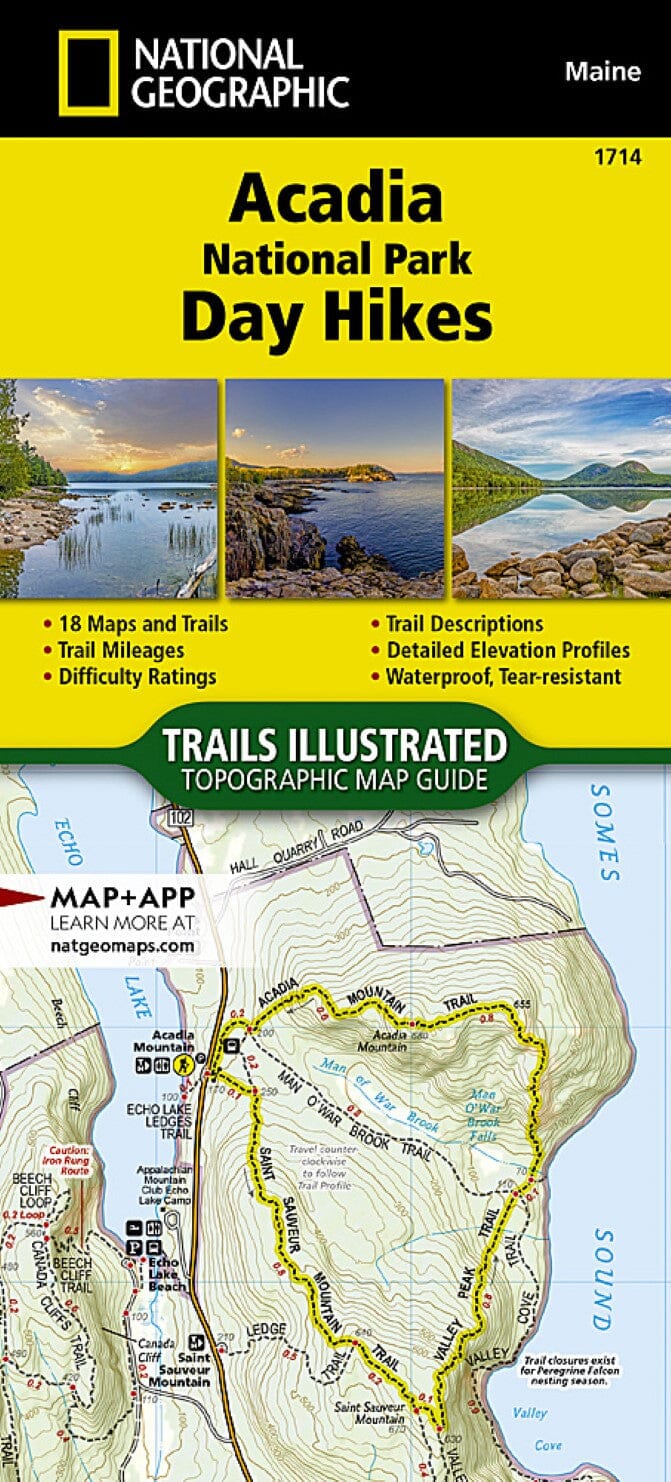
Acadia National Park protects nearly 50,000 acres of islands and peninsulas along the rugged coast of north-central Maine. It has more than two dozen mountains, including Cadillac Mountain at 1,530 feet, the highest point on the U.S. Atlantic coast.

The park offers 158 miles of scenic hiking trails, 45 miles of rustic carriage roads and 33 miles of historic motor roads. Walks range from relaxed explorations of coastal tide pools to steep ascents using iron-rung ladders, with expansive island views.

The Acadia National Park Day Hikes Topographic Map Guide contains detailed maps of 18 selected day hikes, including well-known routes and less-travelled trails. From easy walks to strenuous climbs, they offer a cross-section of the park and total more than 60 miles. One third of the selected hikes are less than 3 miles long.


ISBN/EAN : 9781566959100
Publication date: 2023
Folded dimensions: 9.38 x 4.25"
Language(s): English
Weight: 85 g