Hiking map – Acadia National Park & Schoodic Peninsula | Map Adventures

Price
Regular price £1200
Regular price Sale price £1200
/
  • Shipped within 24 to 48h from our warehouse in the USA
  • All-inclusive price: customs duties are already paid by Cartovia
  • Free returns (*)
  • Real-time stock levels
  • Cartovia Guarantee – Delivery issue?
    We resend immediately upon receiving a simple photo.
  • In stock, ready to ship
  • Backordered, shipping soon
Tax included.

Frequently bought together:

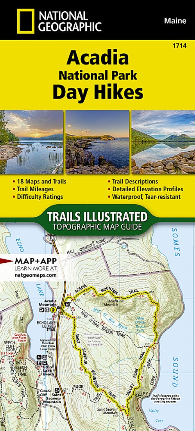
Detailed map of all Acadia National Park, with expanded coverage of the Schoodic Peninsula.

Ideal for hikers, cyclists and visitors.

Key features

  • Hiking trails
  • Cycle paths
  • Point-to-point distances on trails and carriage roads
  • Carriage road intersection sign numbers, useful for hikers and cyclists
  • Island Explorer bus stops
  • Latitude/longitude grid for GPS users
  • Campsites
  • Points of interest
  • Trail index with difficulty ratings

Areas covered

All of Acadia National Park

  • Bar Harbor, Somes Sound
  • Jordan Pond, Eagle Lake
  • Long Pond, Echo Lake
  • Bass Harbor, Seal Cove Pond
  • Southwest Harbor, Northeast Harbor
  • Norumbega Mountain, Bernard Mountain
  • Cadillac Mountain
  • Schoodic Peninsula and Winter Harbor


ISBN/EAN : 9781890060596
Publication date: 2025
Scale: 1/22,500 (1 cm = 225 m)
Folded dimensions: 9 inches x 4 inches (22 x 10 cm)
Unfolded dimensions: 24 inches x 27 inches (60 x 68 cm)
Language(s): English
Weight: 1.7 oz