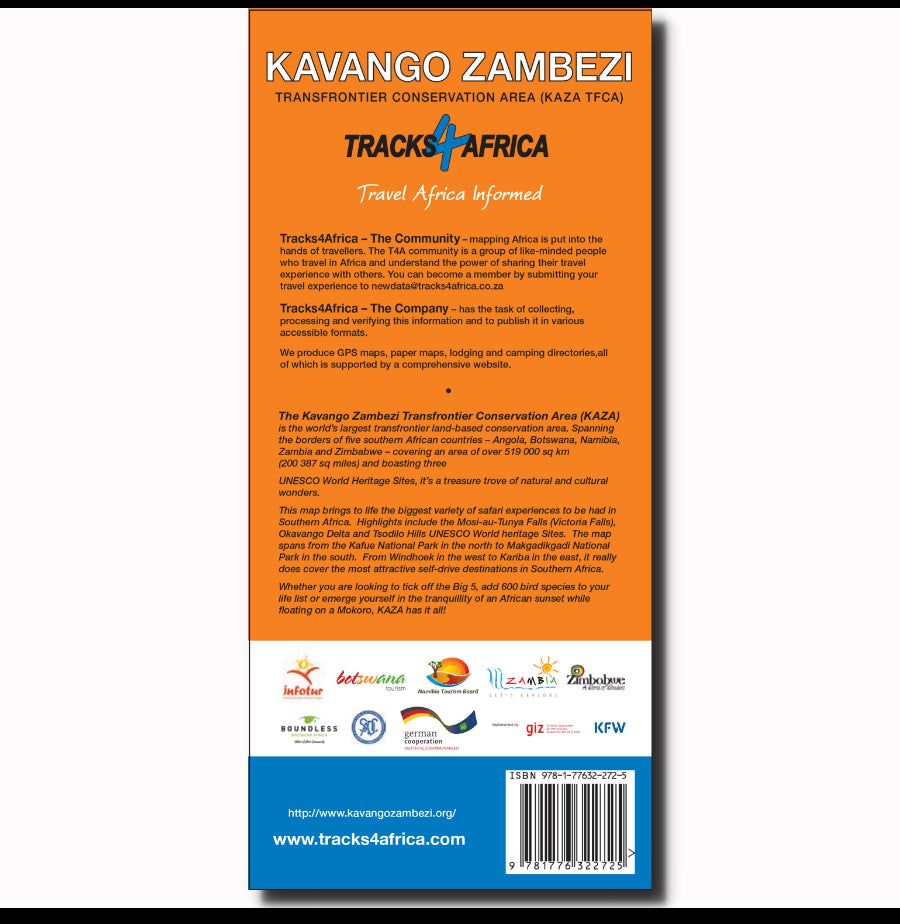
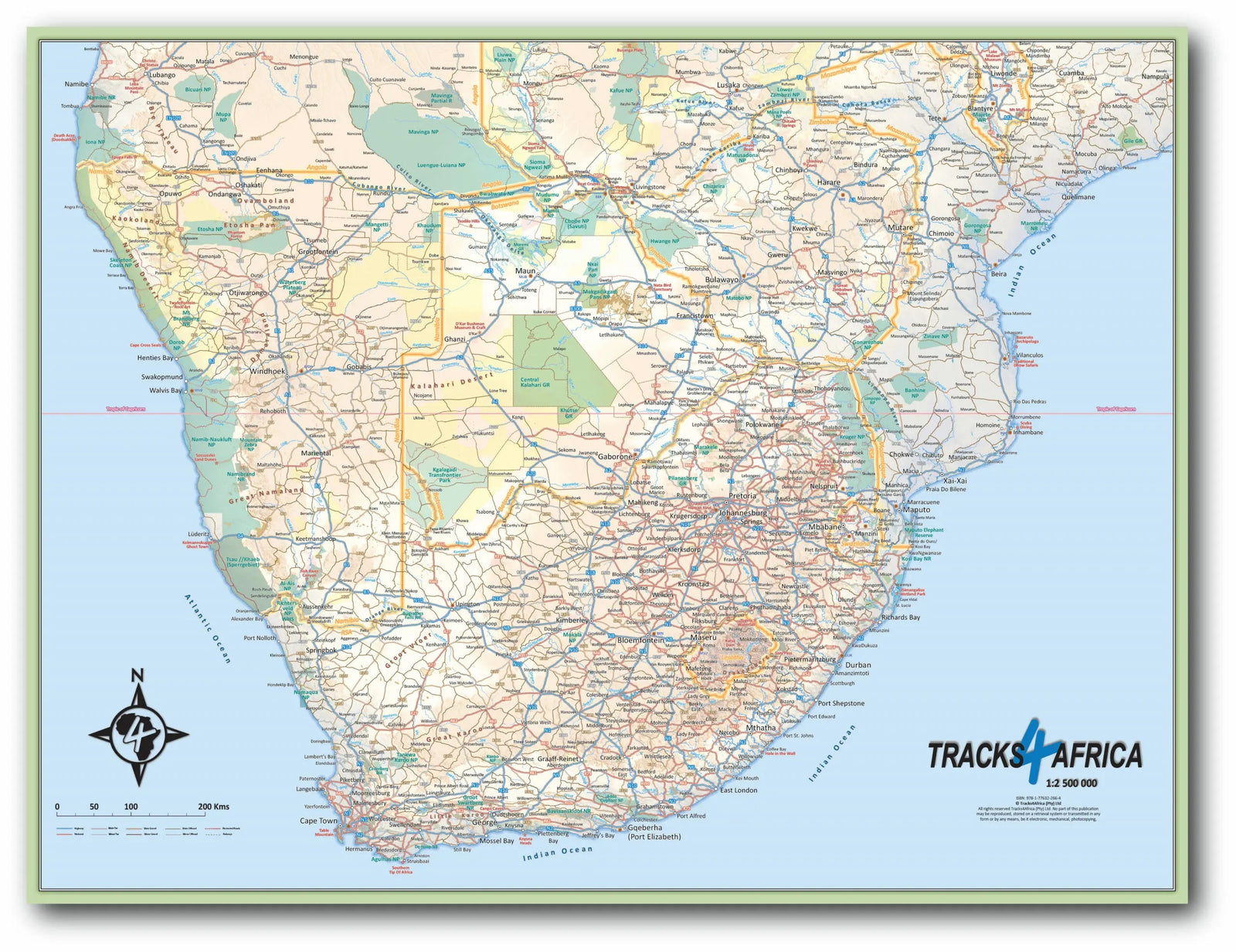
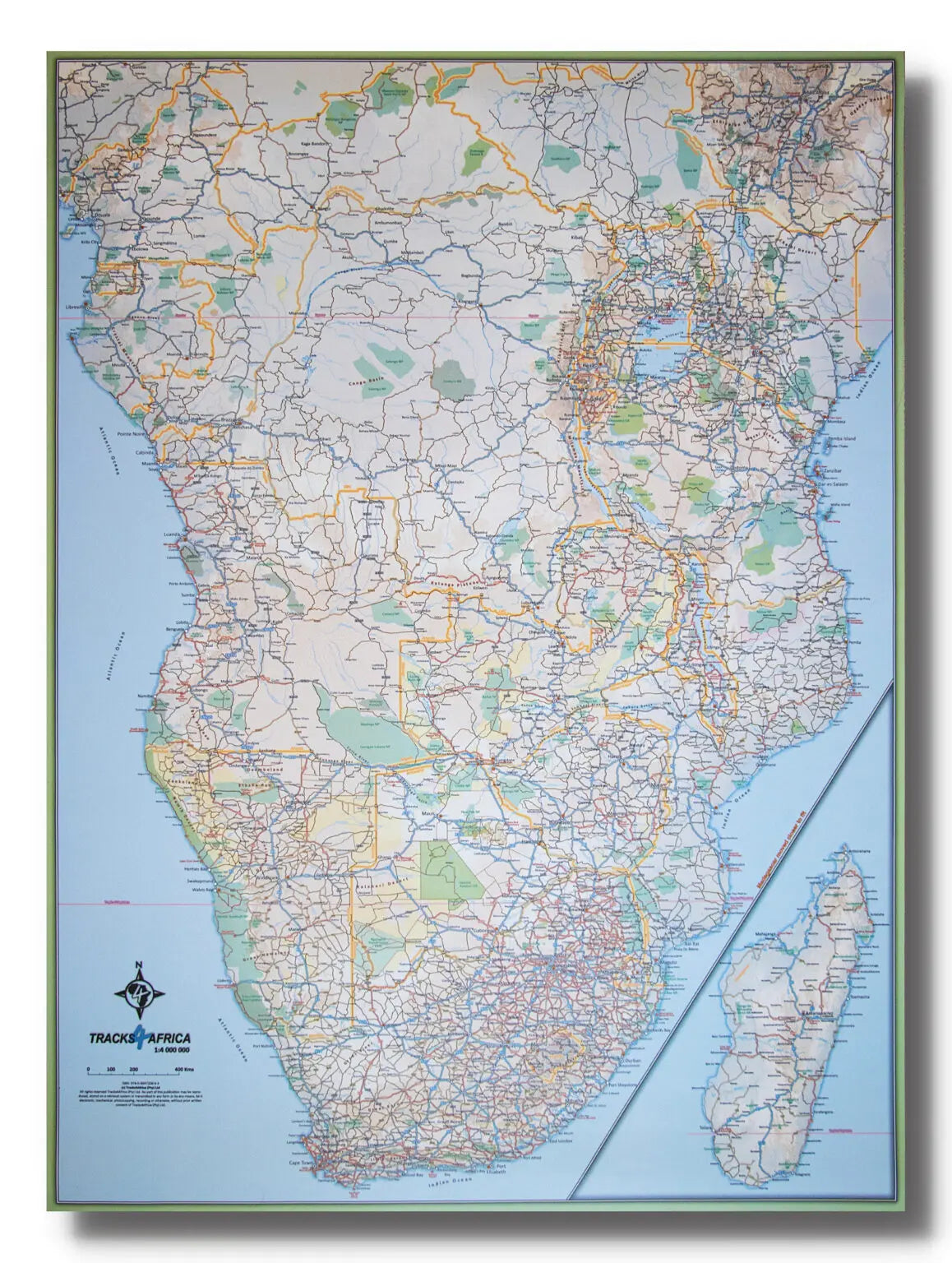
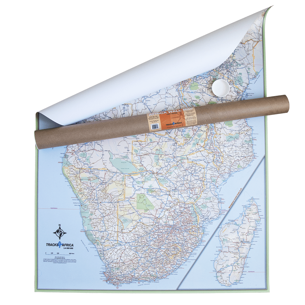
Waterproof road map (edition 4) published by Tracks4Africa covering the whole of Botswana. Distances are shown on the map with travel times. Maps of several towns including Gaborone, Maun, Xakanaxa, and Kasane.
Detailed maps of the Okavango Delta, Mabuasehube, Savuti, Gaborone, Maun, Kasane, Khwai East and West. Typical of these maps is the combination of GPS and geographical information, ideal for 4X4 tracks.
Each map also contains a local directory, separate maps of national parks, and city maps of the region. You'll find information on travel time and distance, and the type of road surface: asphalt, gravel, or sand.
More detailed information is provided on tourist destinations and attractions. These are probably the first fully comprehensive maps of these regions. You can also easily fold the map to the area you need.
The main features are as follows:
• Travel times and distances are recorded on the map
• Extensive network of roads and nature trails
• Detailed information on campsites and attractions
• Border crossings are indicated as well as their opening and closing times
• In each city, recent tourist services are listed
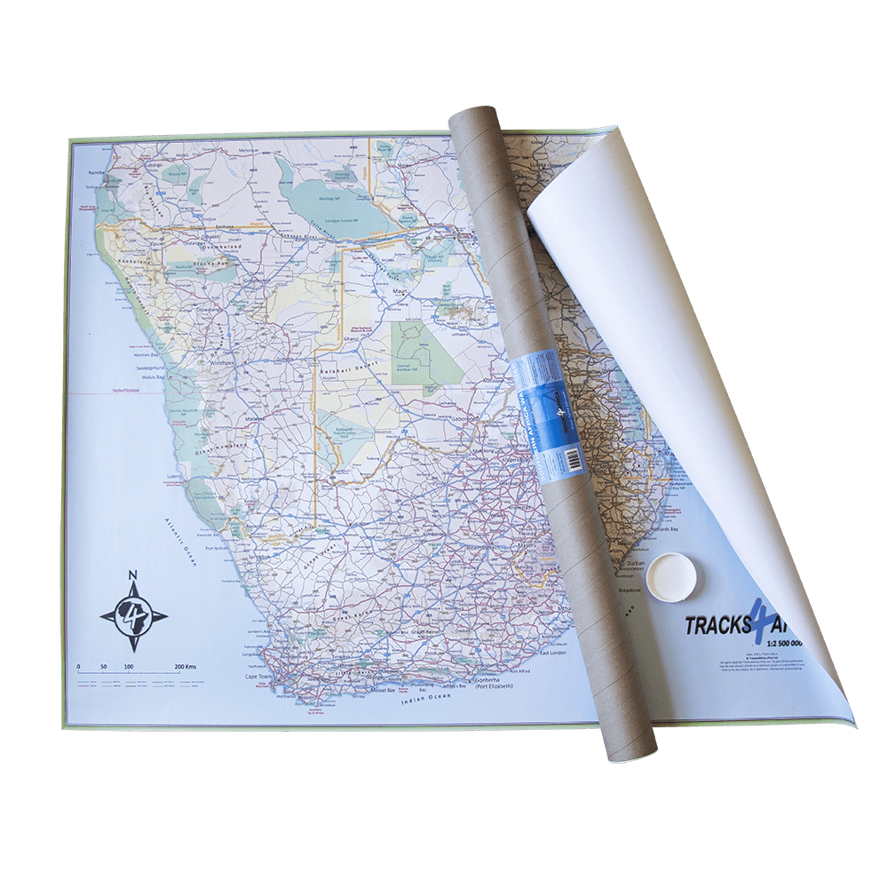
• Printed on waterproof paper