Laminated Wall Map - Southern Africa - 130 x 98 cm | Tracks4Africa

Price
Regular price £7500
Regular price Sale price £7500
/
  • Ships within 7 to 10 business days.
    Currently in transit to our warehouse in France.
  • Cartovia Guarantee – Delivery issue?
    We resend immediately upon receiving a simple photo.
Tax included.

Often purchased together:

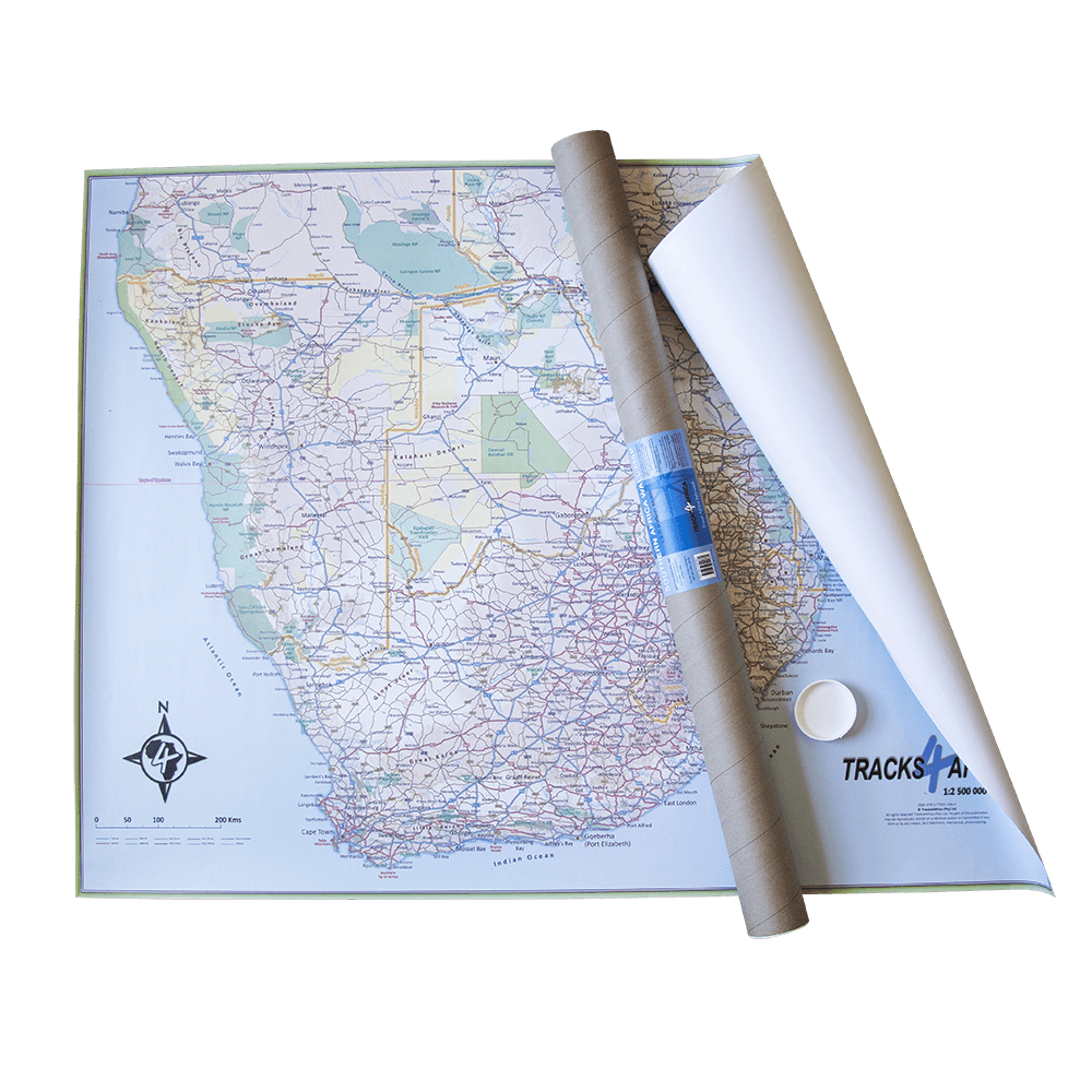
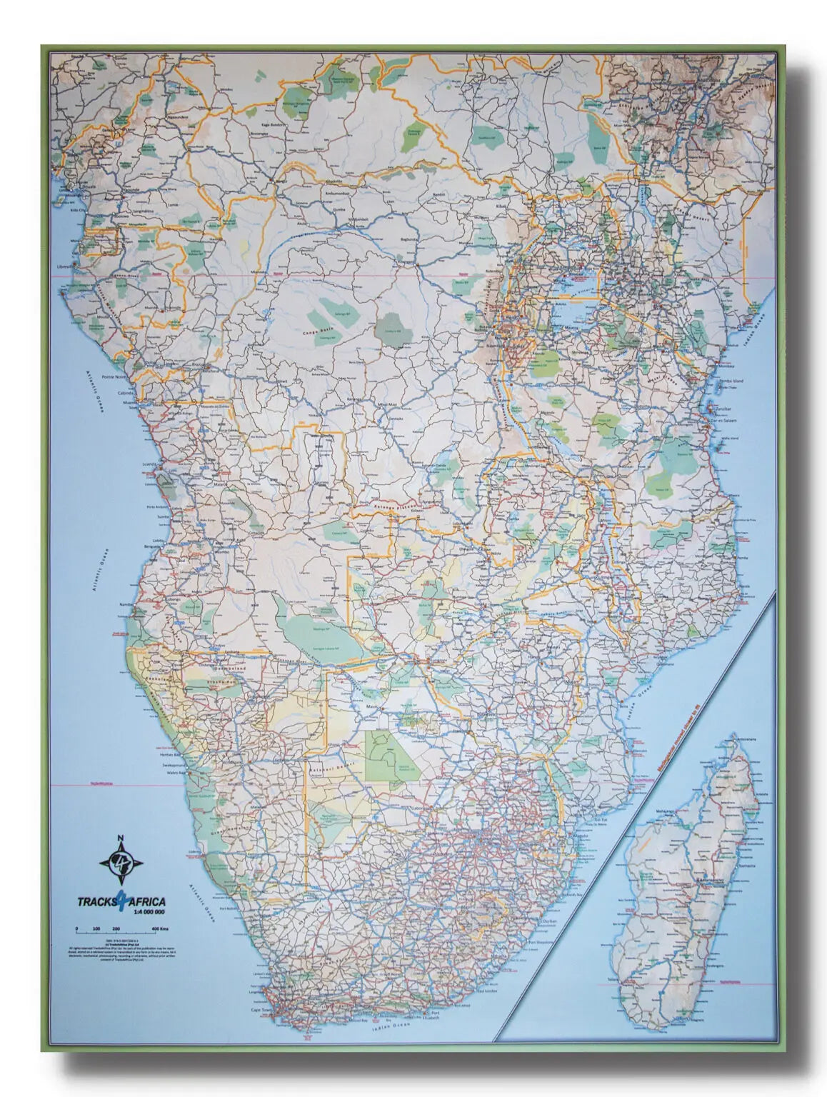
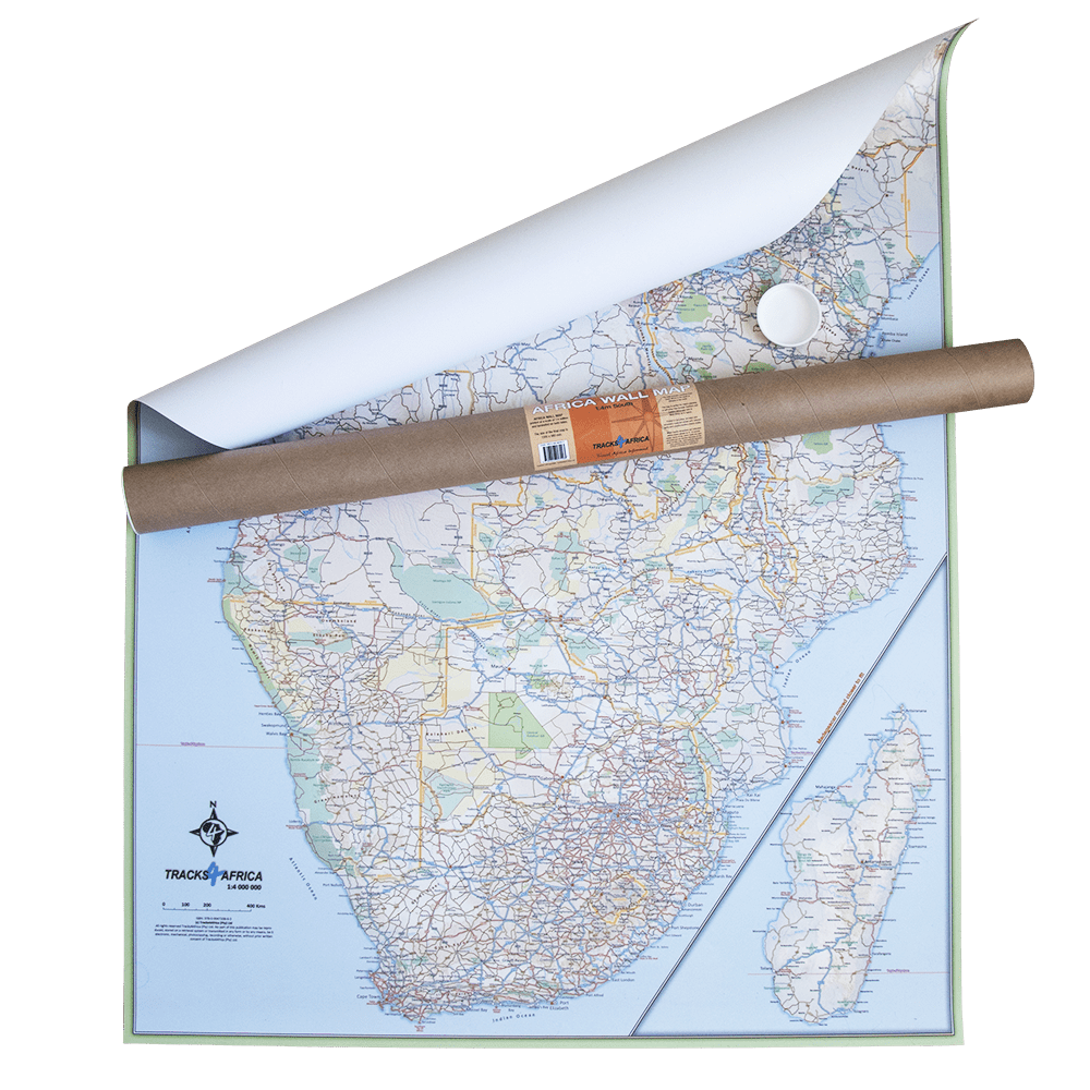
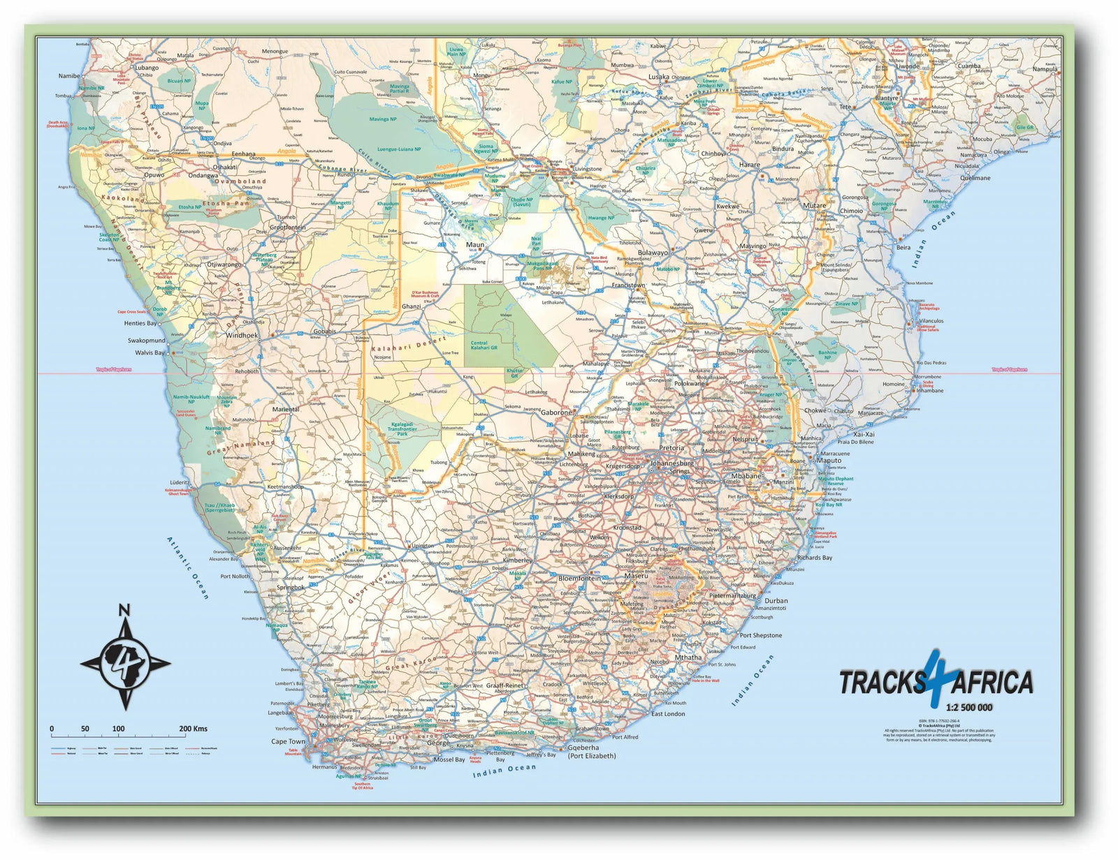
This laminated wall map of Southern Africa by Tracks4Africa is produced at a scale of 1:2,500,000, where 1 cm represents 25 km.

It fully covers South Africa, Lesotho, Eswatini, Zimbabwe, Botswana and Namibia. Most of Mozambique up to Nampula is included, along with part of southern Angola to Lubango, southern Zambia to Kabwe and the southern tip of Malawi up to the beginning of the lake.

Designed for large-scale road-trip planning, it shows main and secondary roads, national parks, towns, national borders, international airports, major tourist attractions and many tracks in remote areas.

The map measures 130 x 98 cm and is laminated on both sides.


ISBN/EAN : 9781776322831
Publication date: 2024
Scale: 1/2,500,000 (1cm=25km)
Unfolded dimensions: 130 x 98cm
Language(s): English
Weight: 787 g