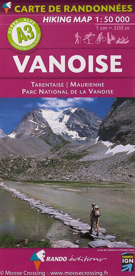
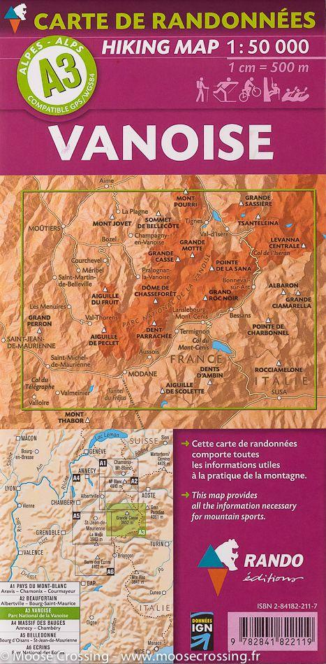
3D Raised relief map - Vanoise (41 cm x 61 cm) | 3D Map (French)

Price
Regular price £3600
Regular price Sale price £3600
/
  • Shipped within 24 to 48h from our warehouse in France
  • All-inclusive price: customs duties are already paid by Cartovia
  • Real-time inventory
  • Cartovia Guarantee – Delivery issue?
    We resend immediately upon receiving a simple photo.
  • In stock, ready to ship
  • Backordered, shipping soon
Tax included.

Often purchased together:

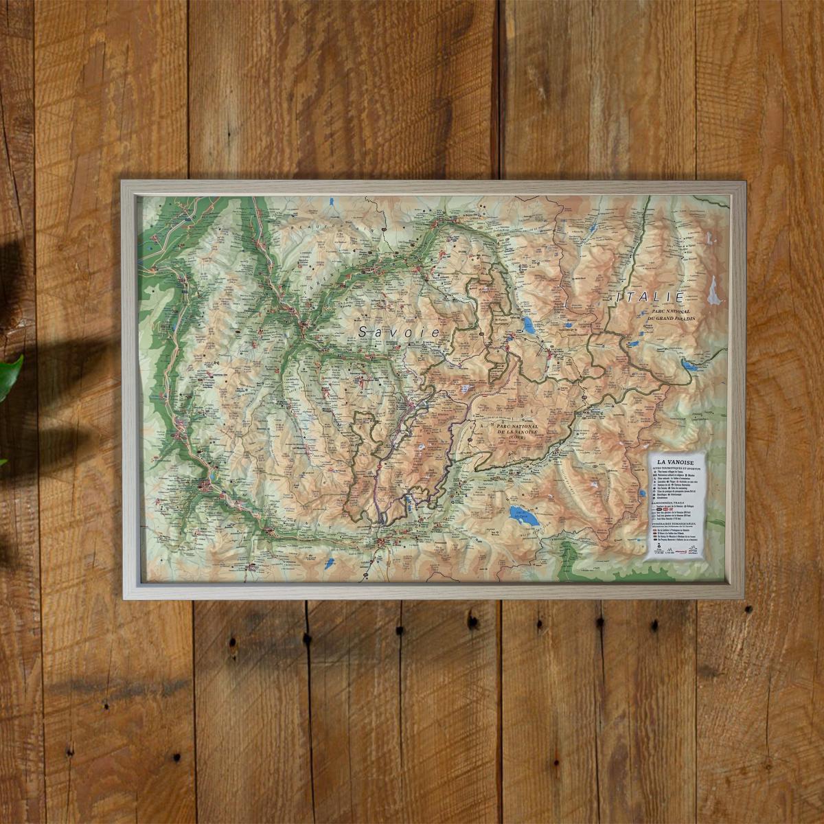
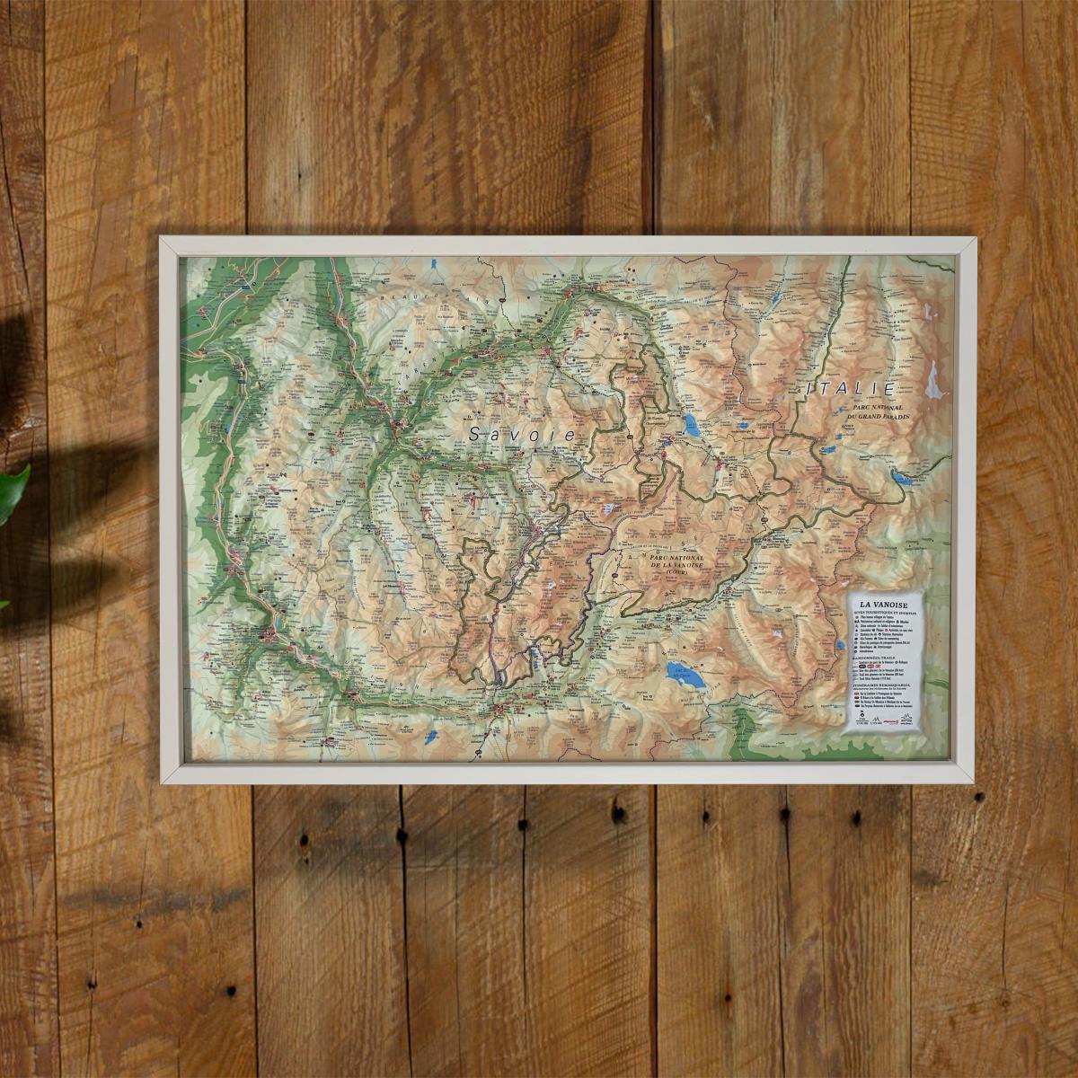
Explore the beauty of the French Alps with this raised relief wall map of the Vanoise, showcasing one of the most iconic alpine massifs and France’s first national park. Its detailed 3D modeling highlights glaciers, major peaks, valleys, renowned ski resorts and hiking itineraries.

A finishing frame is available as an optional accessory; we highly recommend it for easier hanging and a refined display.


Information shown on the map:

General data:

• Hydrological, natural, hypsometric and administrative information

Touristic & cultural sites:

• Museums
• Most Beautiful Villages of France

Heritage & alpine activities:

• Legendary monuments and castles
• Famous ski resorts
• Paragliding sites (take-off & landing zones)

Natural sites & outdoor activities:

• Thermal spas
• Waterfalls, gorges and caves
• Glaciers and major summits
• Alpine massifs
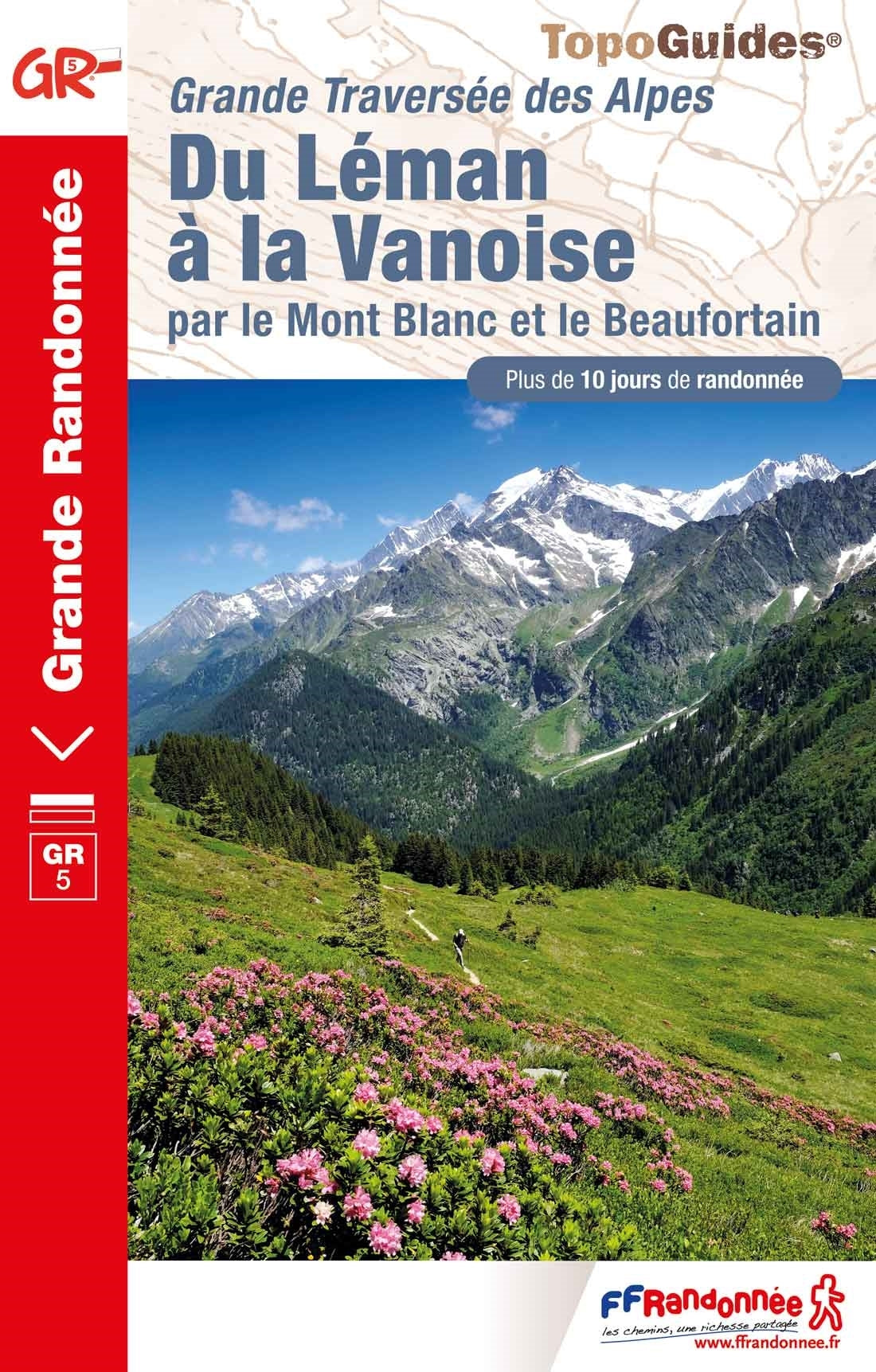
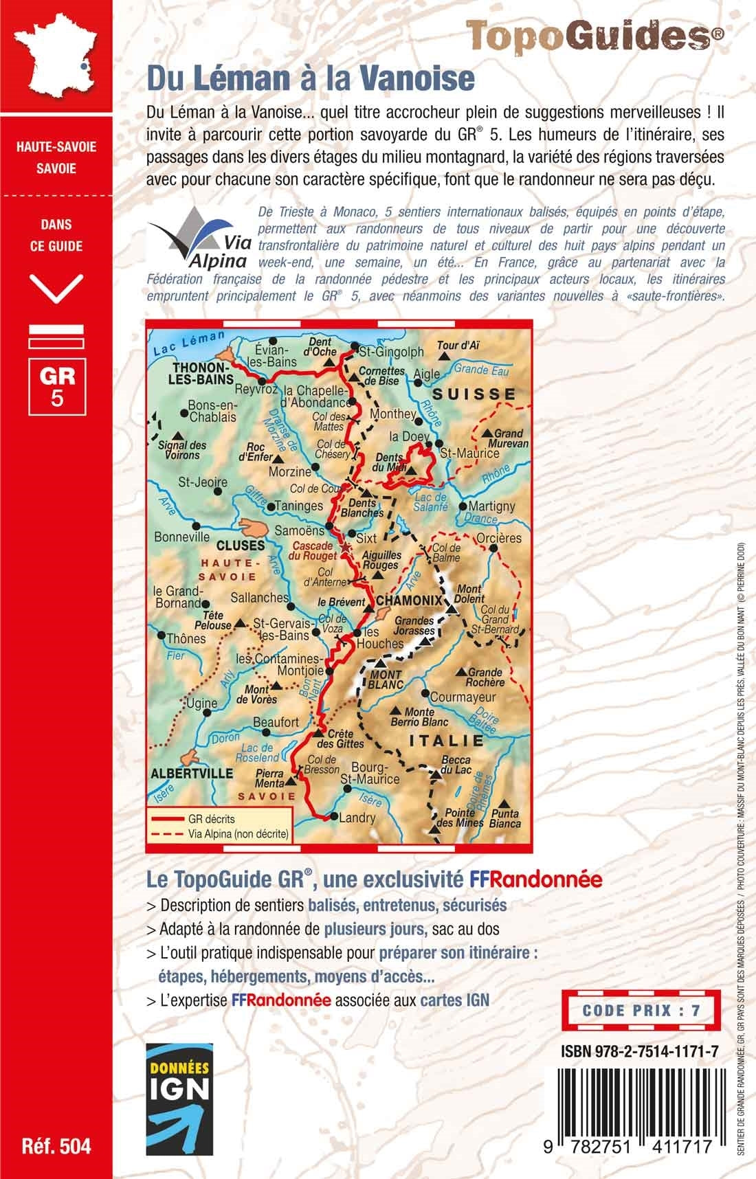
• Long-distance hiking trails (GR)
• Trail routes

Routes & mountain shelters:

• Notable routes
• Mountain refuges


Scale:

1 : 150,000

A perfect map for hikers, mountaineers, National Park enthusiasts, alpine landscape lovers or anyone wishing to decorate their home with a beautiful and accurate representation of the Vanoise massif.


ISBN/EAN : 9782955772942
Publication date: 2016
Scale: 1/150,000 (1cm=1.5km)
Unfolded dimensions: 61cm x 41cm
Language(s): French
Weight: 136 g