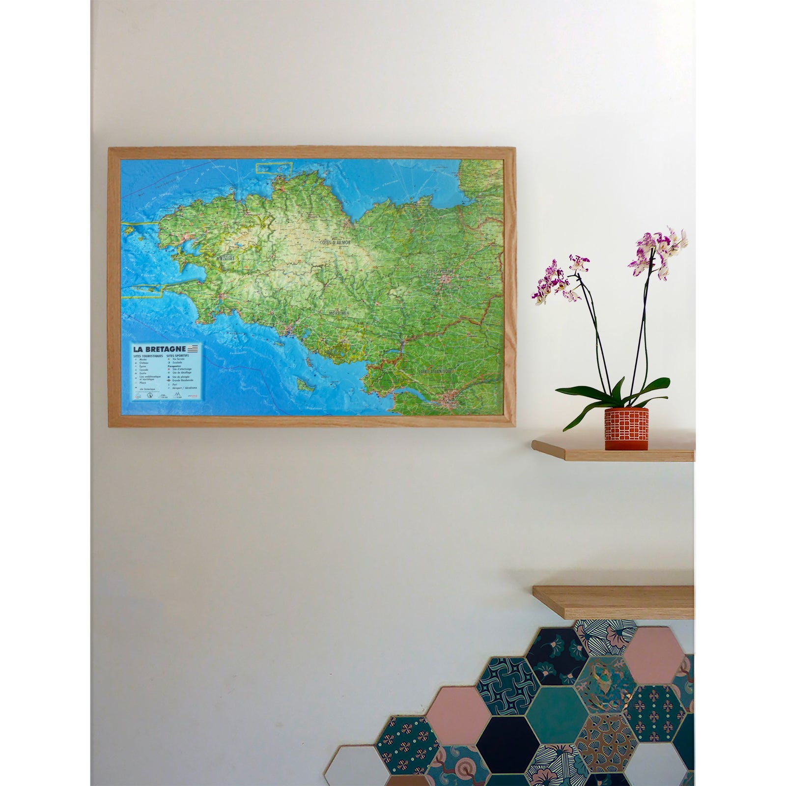
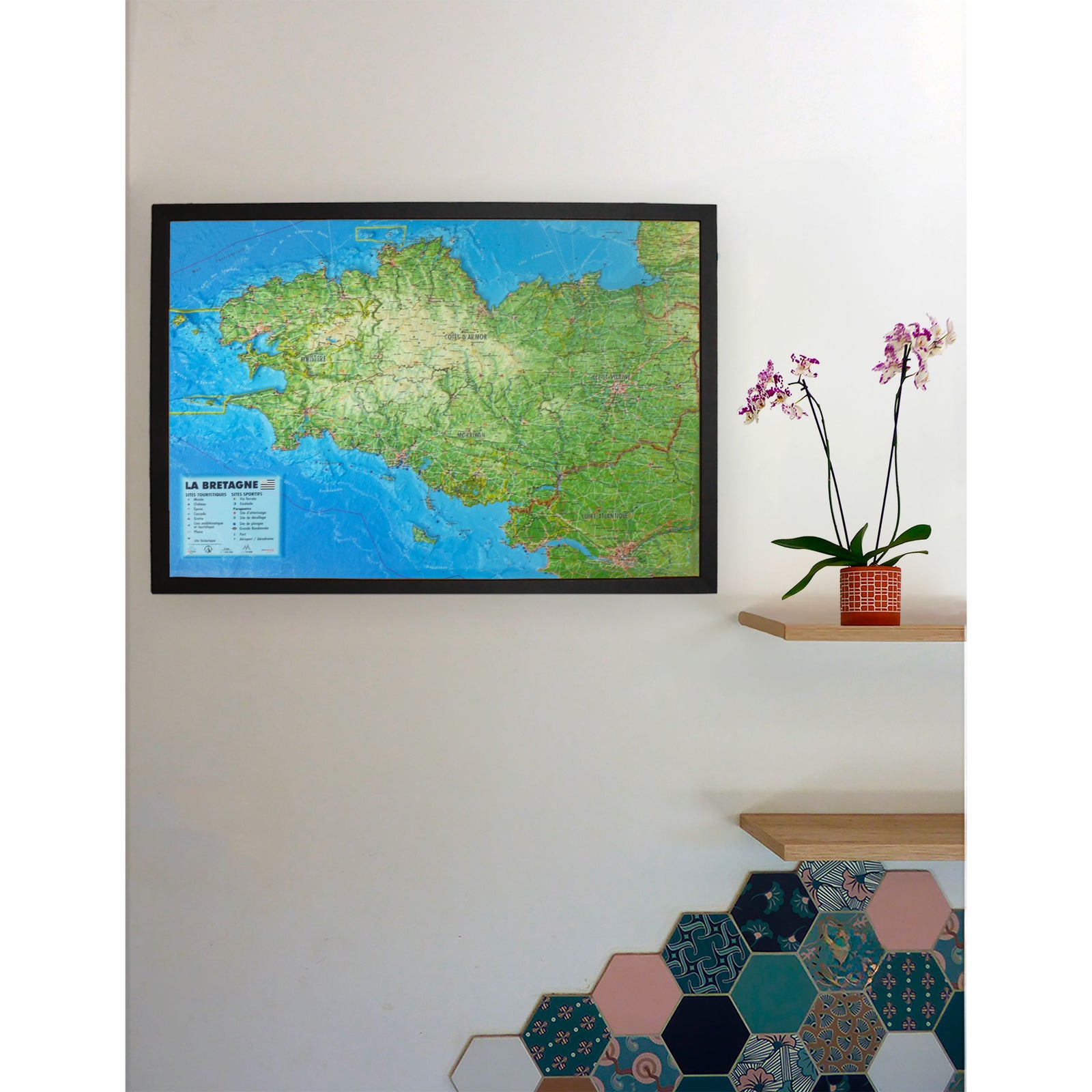
Carte murale en relief - Vosges, Alsace, Forêt Noire - 61 x 41 cm | 3D Map carte en relief 3D Map

3D Relief Wall Map - Vosges, Alsace & Black Forest - 61 x 41 cm | 3D Map

Price
Regular price CHF 3800
Regular price Sale price CHF 3800
/
  • Shipped within 24 to 48h from our warehouse in France
  • Customs duties may apply on import to your country
  • Real-time inventory
  • Cartovia Guarantee – Delivery issue?
    We resend immediately upon receiving a simple photo.
  • Low stock - 2 items left
  • Backordered, shipping soon
Tax included.

Often purchased together:

Discover the Vosges massif, Alsace and the Black Forest with this 3D Map relief wall map.

The map combines geographic, administrative, tourist and sports information. It helps locate the main heritage sites, hiking routes, mountain refuges and ski resorts.

Information shown:

  • Hydrological, natural and hypsometric data
  • Administrative data
  • Les Plus Beaux Villages de France
  • UNESCO-listed sites
  • Network of major Vauban sites
  • Castles and historic monuments
  • Notable sites
  • Museums
  • Waterfalls
  • Mountain refuges
  • GR long-distance hiking trails
  • Grande Traversée des Vosges
  • Via ferrata
  • Ski resorts
  • Paragliding sites
  • Take-off and landing areas
  • Airports and airfields

Scale and dimensions:

  • Horizontal scale: 1:430,000
  • Vertical scale: 1:81,000
  • Dimensions: 41 × 61 cm


ISBN/EAN : 9791097206772
Publication date: 2026
Scale: 1:430,000 (1 cm = 4.3 km)
Unfolded dimensions: 61 cm x 41 cm
Language(s): French
Weight: 136 g