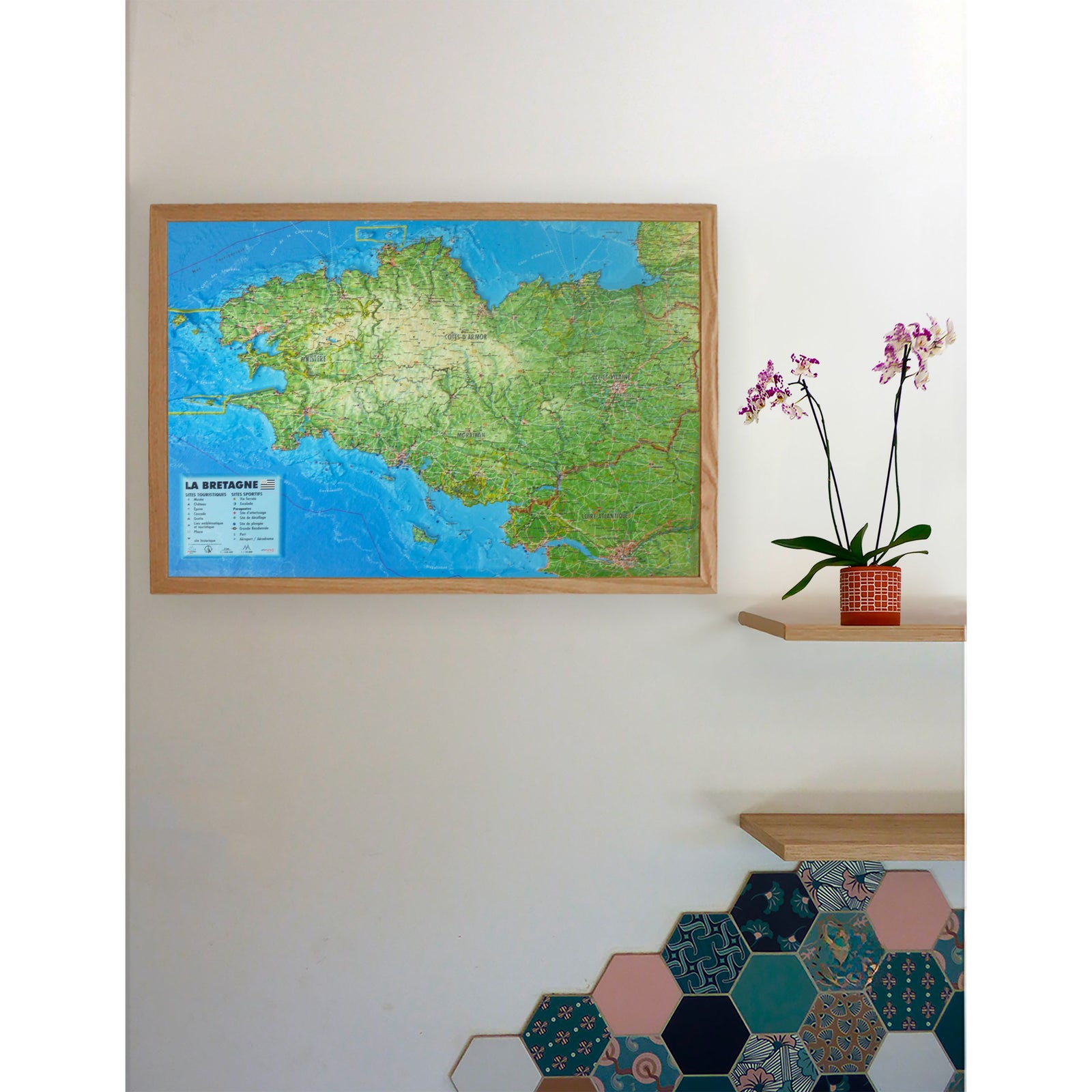
Carte murale en relief - Vosges, Alsace, Forêt Noire - 61 x 41 cm | 3D Map carte en relief 3D Map

Relief wall map - Vosges, Alsace, Black Forest - 61 x 41 cm | 3D Map

Price
Regular price CHF 3900
Regular price Sale price CHF 3900
/
  • Real-time inventory
  • Cartovia Guarantee – Delivery issue?
    We resend immediately upon receiving a simple photo.
  • In stock, ready to ship
  • Backordered, shipping soon
Tax included.

Often purchased together:

Discover the Vosges Mountains, Alsace, and the Black Forest with this 3D Map relief wall map.

The map combines geographical, administrative, tourist, and sports information. It allows you to identify key heritage sites, hiking routes, mountain huts, and ski resorts.

Information represented

  • Hydrological, natural, and hypsometric data
  • Administrative data
  • Most beautiful villages in France
  • UNESCO World Heritage sites
  • Vauban major sites network
  • Castles and historic monuments
  • Remarkable sites
  • Museums
  • Waterfalls
  • Mountain huts
  • Long-distance hiking trails (GR)
  • Great Vosges Crossing
  • Via ferrata
  • Ski resorts
  • Paragliding sites
  • Take-off and landing zones
  • Airports and airfields

Scale and dimensions

  • Planimetric scale: 1:430,000
  • Altimetric scale: 1:81,000
  • Dimensions: 41 × 61 cm


ISBN / EAN : 9791097206772
Date de publication : 2026
Echelle : 1:430,000 (1 cm = 4.3 km)
Dimensions déplié(e) : 61 cm x 41 cm
Langue : French
Poids : 136 g