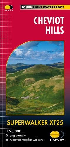
Carte de randonnée - Cheviot Hills | Harvey Maps - Superwalker maps
Prix régulier
2350 €
Prix régulier
Prix réduit
2350 €
/
- Expédition sous 24 à 48h depuis notre entrepôt en France
- Retours gratuits (*)
- Stocks en temps réel
-
Garantie Cartovia - Problème de livraison ?
On renvoie tout de suite, sur simple photo.
- 1 en stock