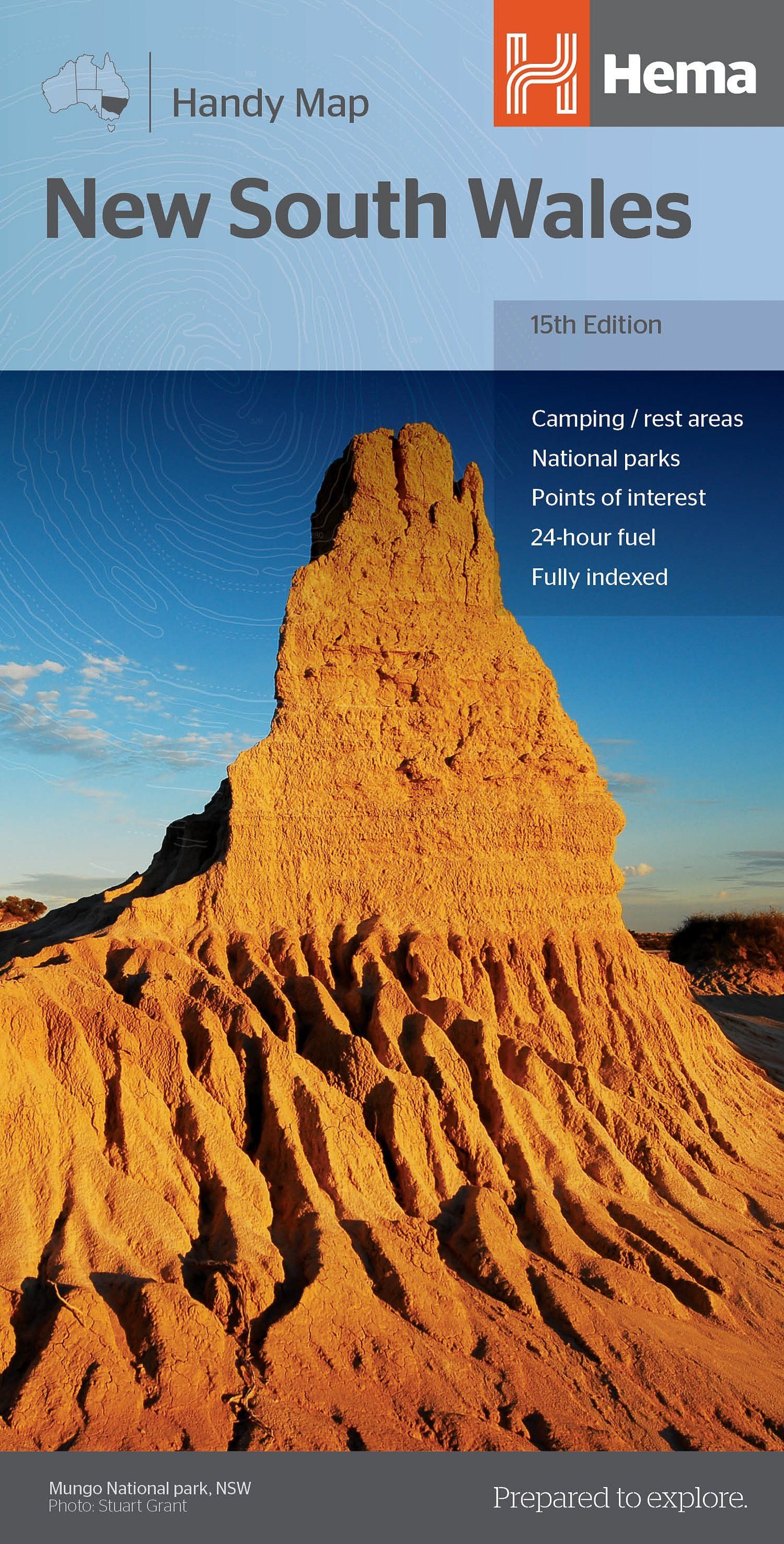
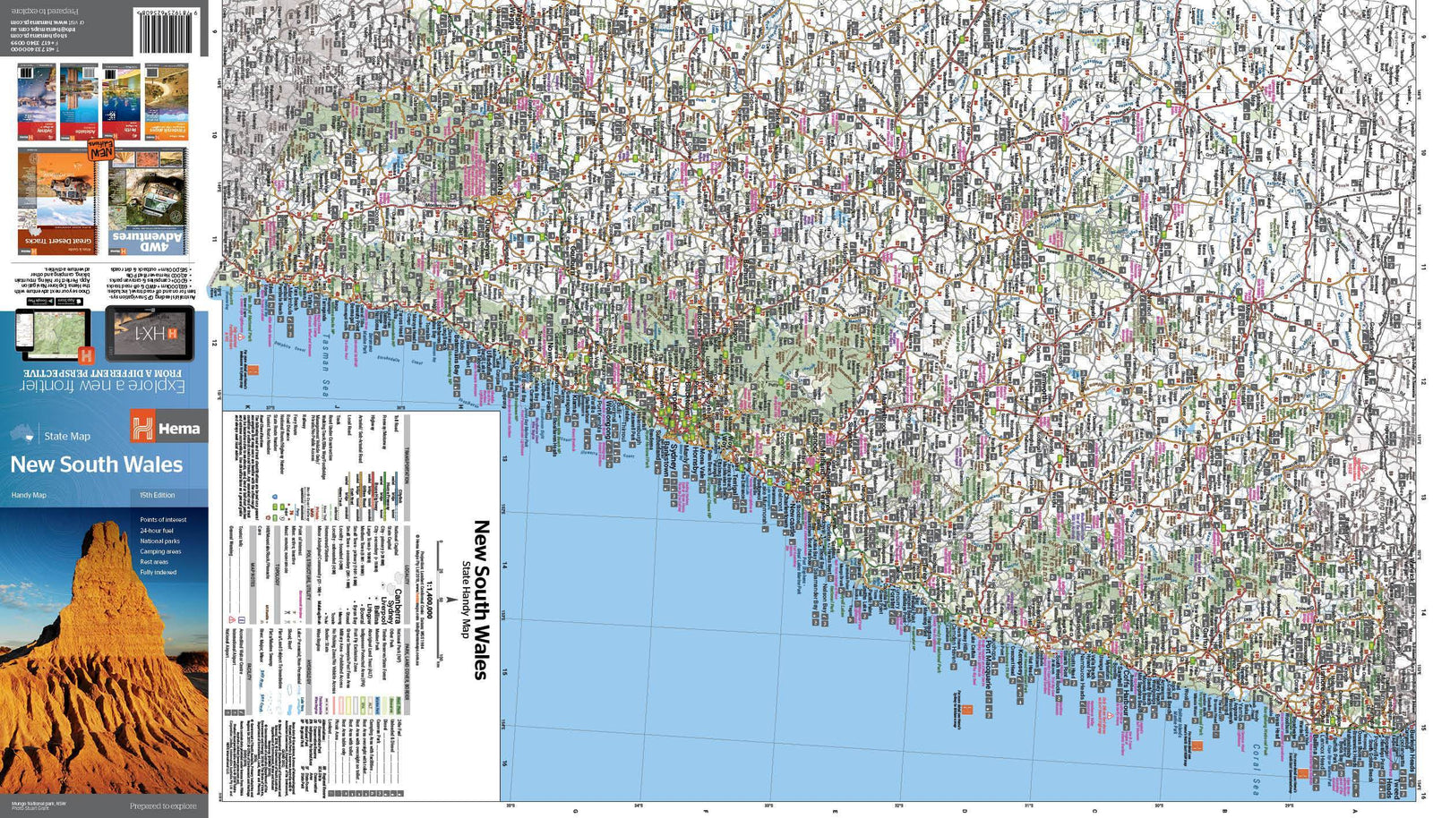
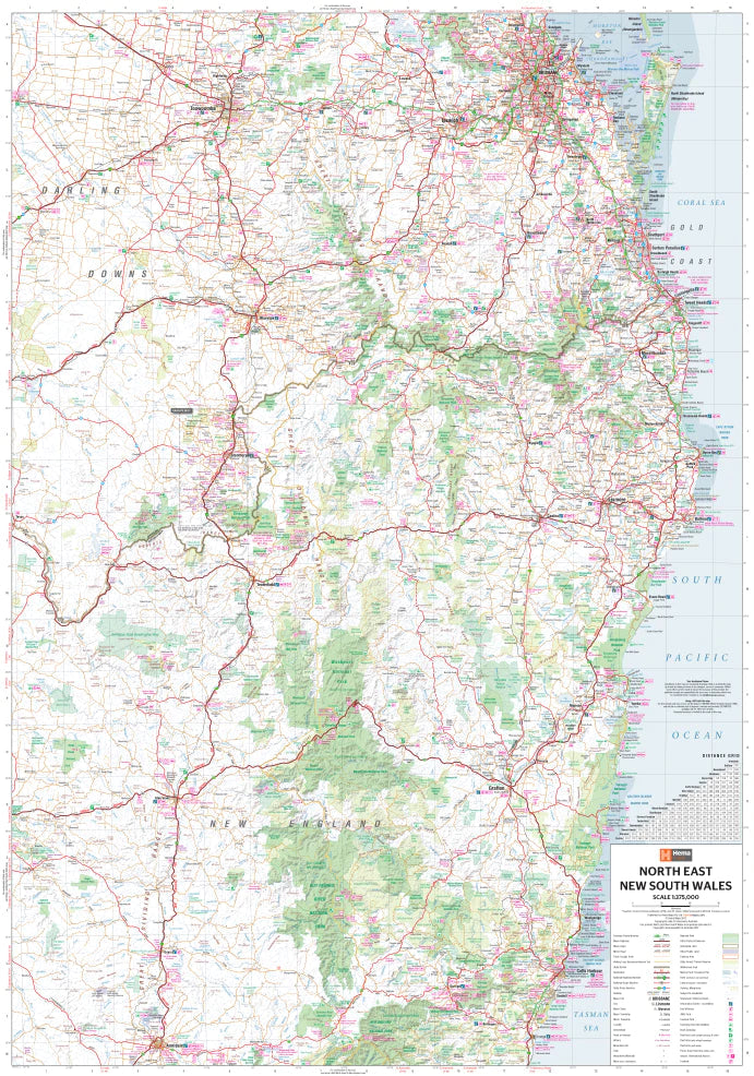
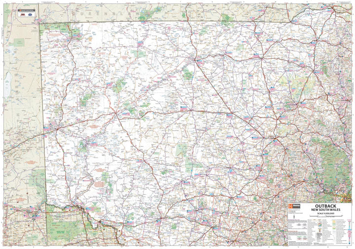
Plan & Carte régionale - Wagga Wagga & Riverina (Nouvelle-Galles du Sud), n° 284 | UBD Gregory's
Prix régulier
CHF 1200
Prix régulier
Prix réduit
CHF 1200
/
- Expédition sous 24 à 48h depuis notre entrepôt en France
- Des frais de douane peuvent s'appliquer à l'import dans votre pays
- Retours gratuits (*)
- Stocks en temps réel
-
Garantie Cartovia - Problème de livraison ?
On renvoie tout de suite, sur simple photo.
- En stock