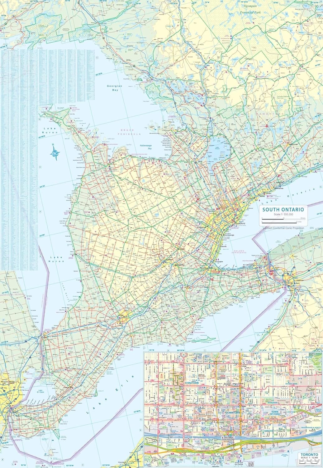
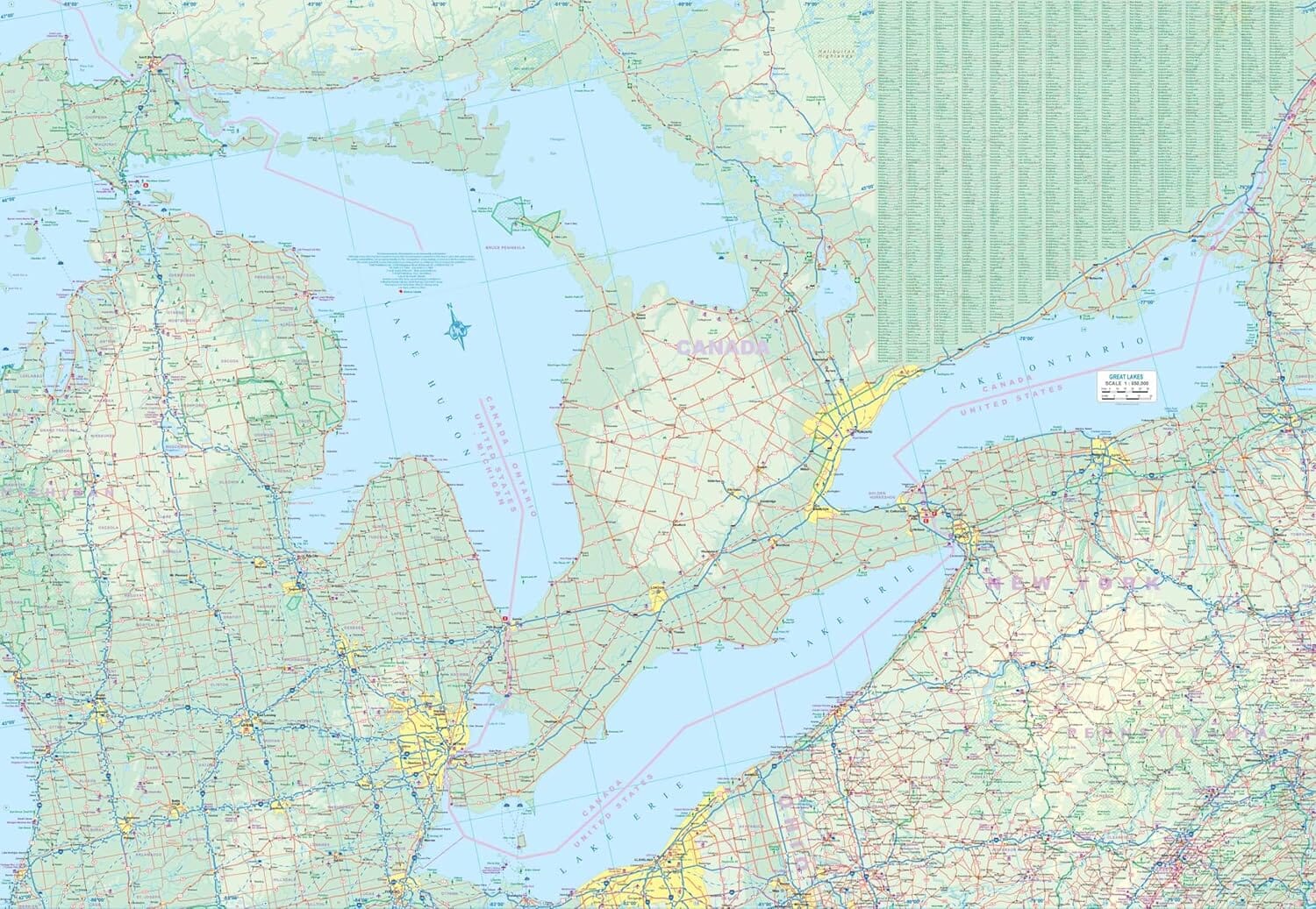
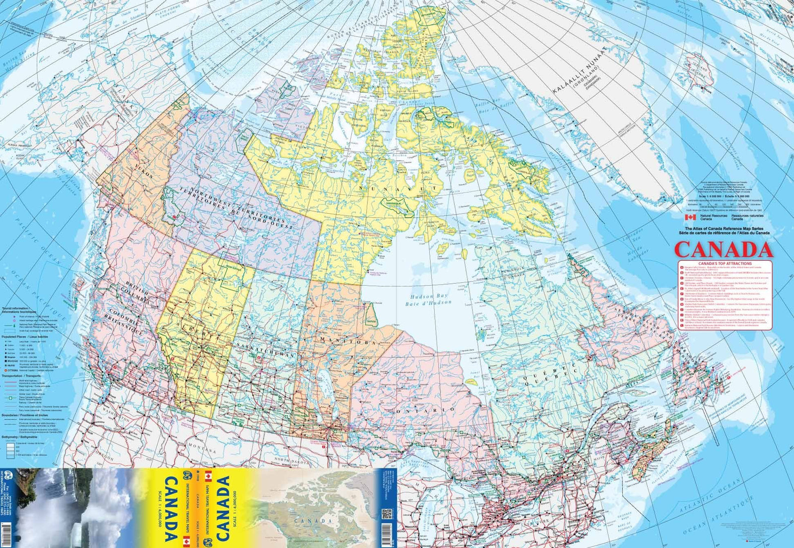
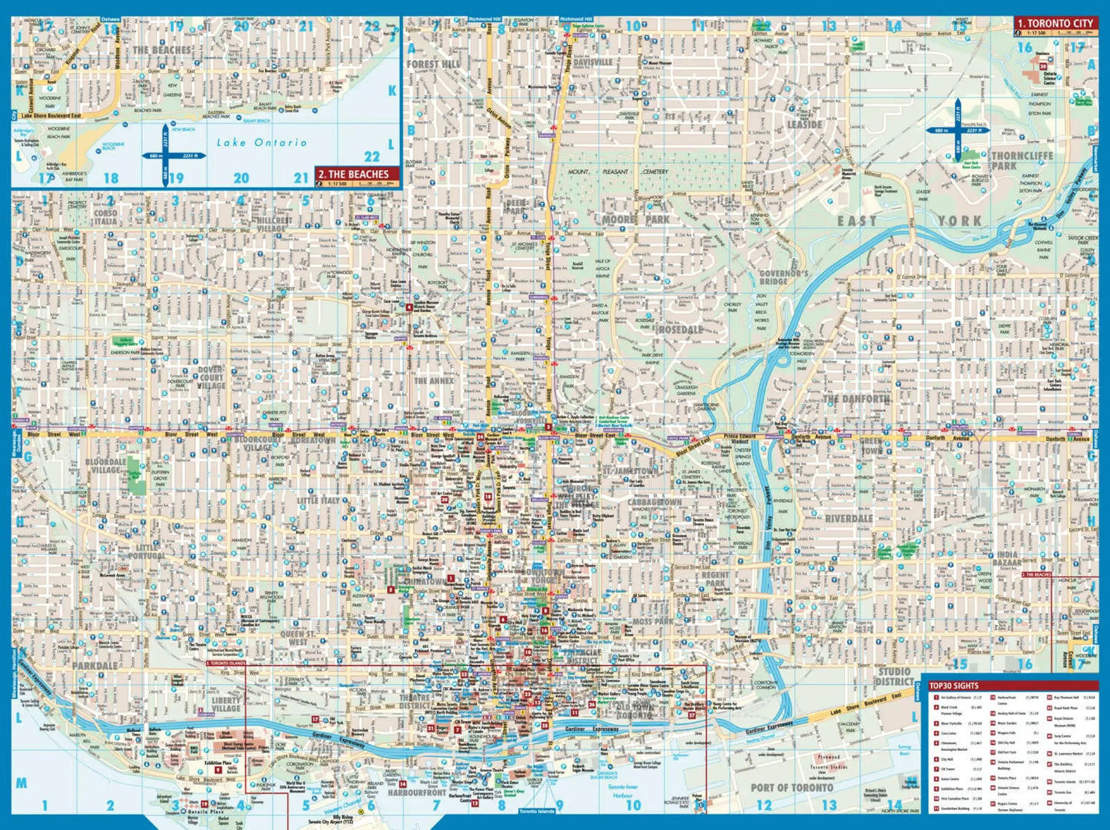
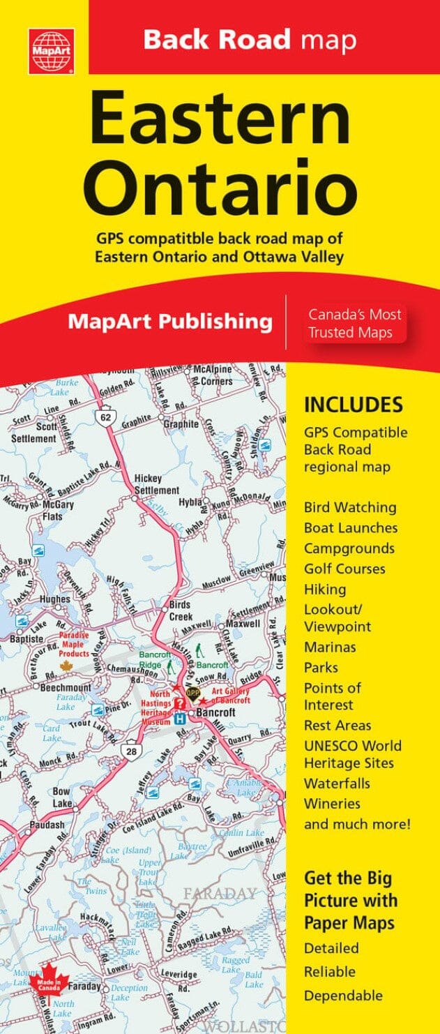
Folded maps have been the trusted standard for years, offering unbeatable accuracy and reliability at a great price. Detailed indexes allow for quick and easy destination locating. It's a must-have for anyone traveling, working, or living in Eastern Ontario.
The Eastern Ontario Folded Map includes detailed regional mapping of Eastern Ontario at a scale of 1:250,000, a community index, a road index, and a map. legend.
The detailed regional road map includes highways, interchanges, exit numbers, major highways, secondary highways, paved and unpaved county/regional roads, paved and unpaved roads, unimproved roads, airports, VIA Rail stations, locks and lock numbers, ferries, railways, hospitals, OPP, Quebec Police, tourist information centers, points of interest, customs, boundaries, beaches, waterfalls, rapids, peaks, lookouts, sugar shacks, rest areas, campgrounds, skiing, hiking, golf, boat ramps, marinas, docks, lighthouses, UNESCO World Heritage Sites, Nat