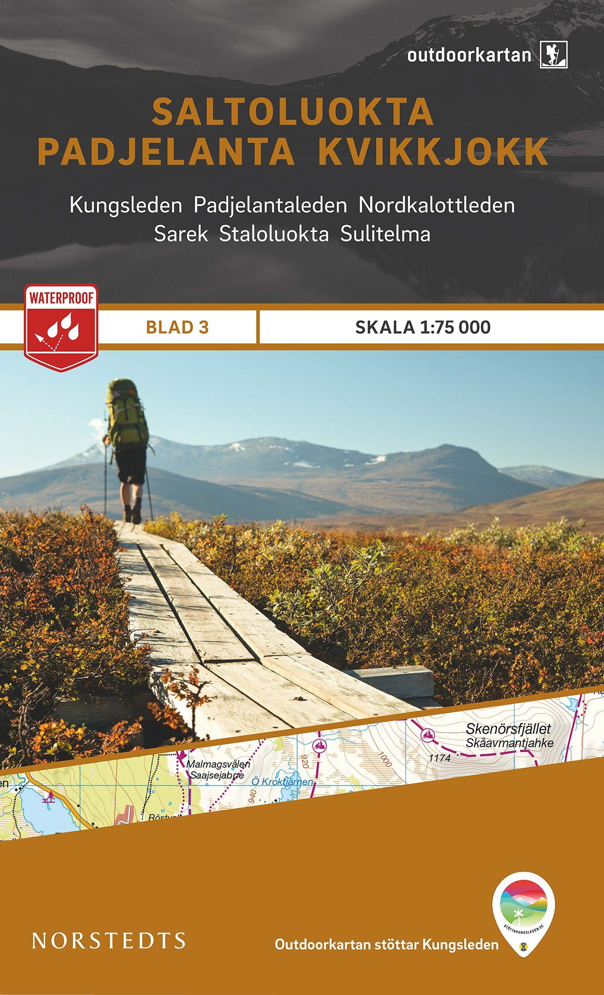
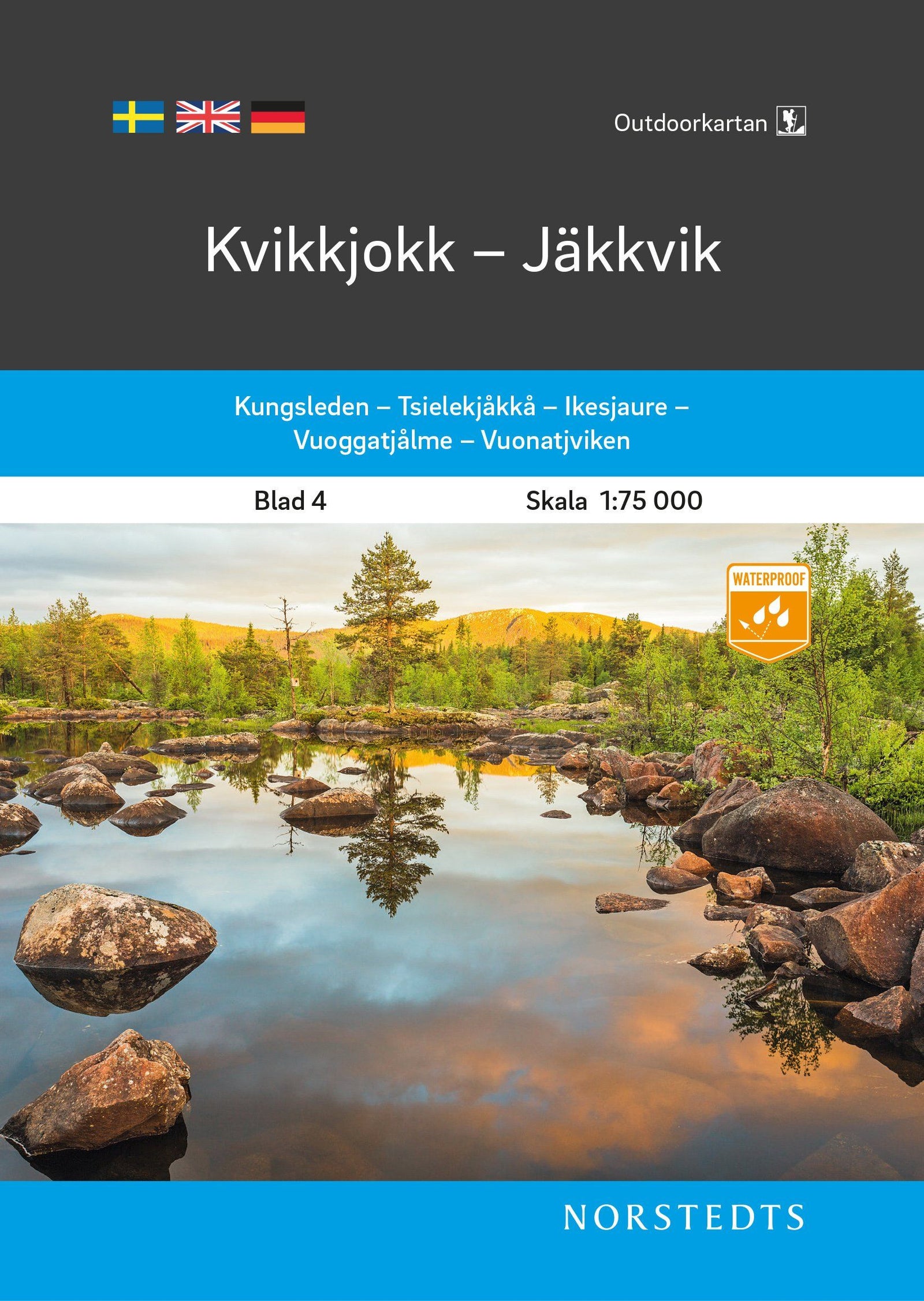
Hiking map No. 10 - Skäckerfjällen, Storlien, Åre, Sweden | Norstedts - Outdoor
Regular price
1850 €
Regular price
Sale price
1850 €
/
- Shipping within 24 working hours from our warehouse in France
- Delivery costs calculated instantly in the basket
- Free returns (*)
- Real-time inventory
- In stock, ready to ship