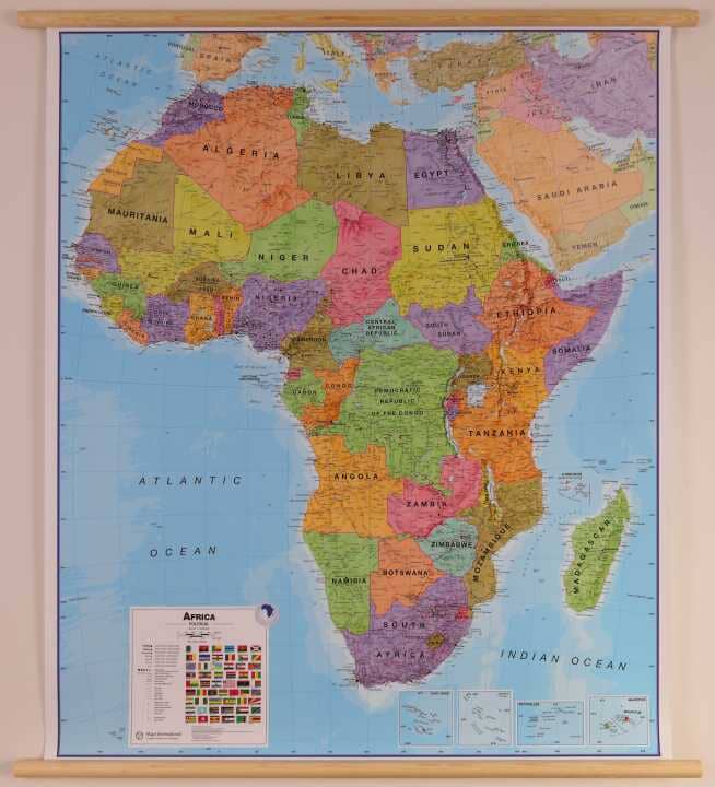
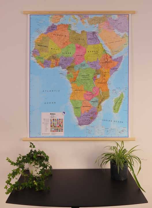
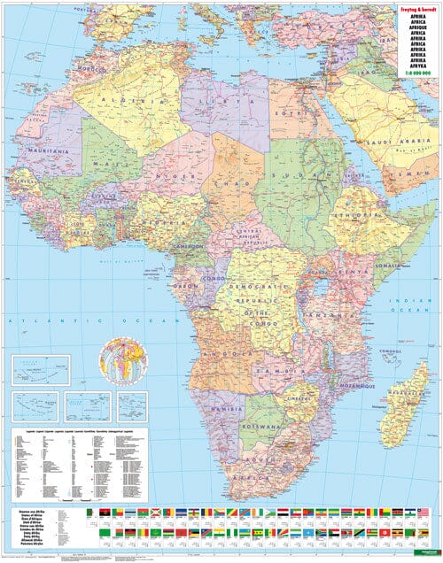
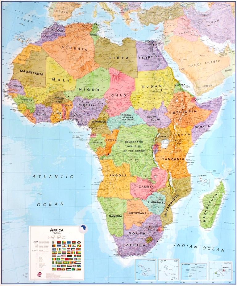
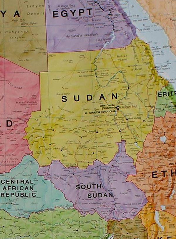
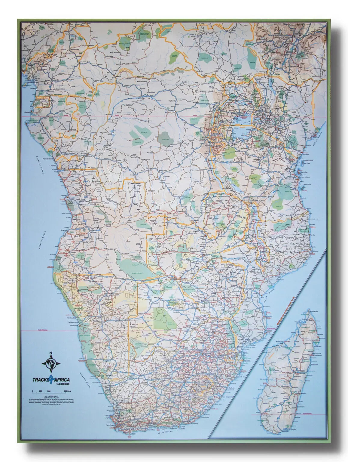
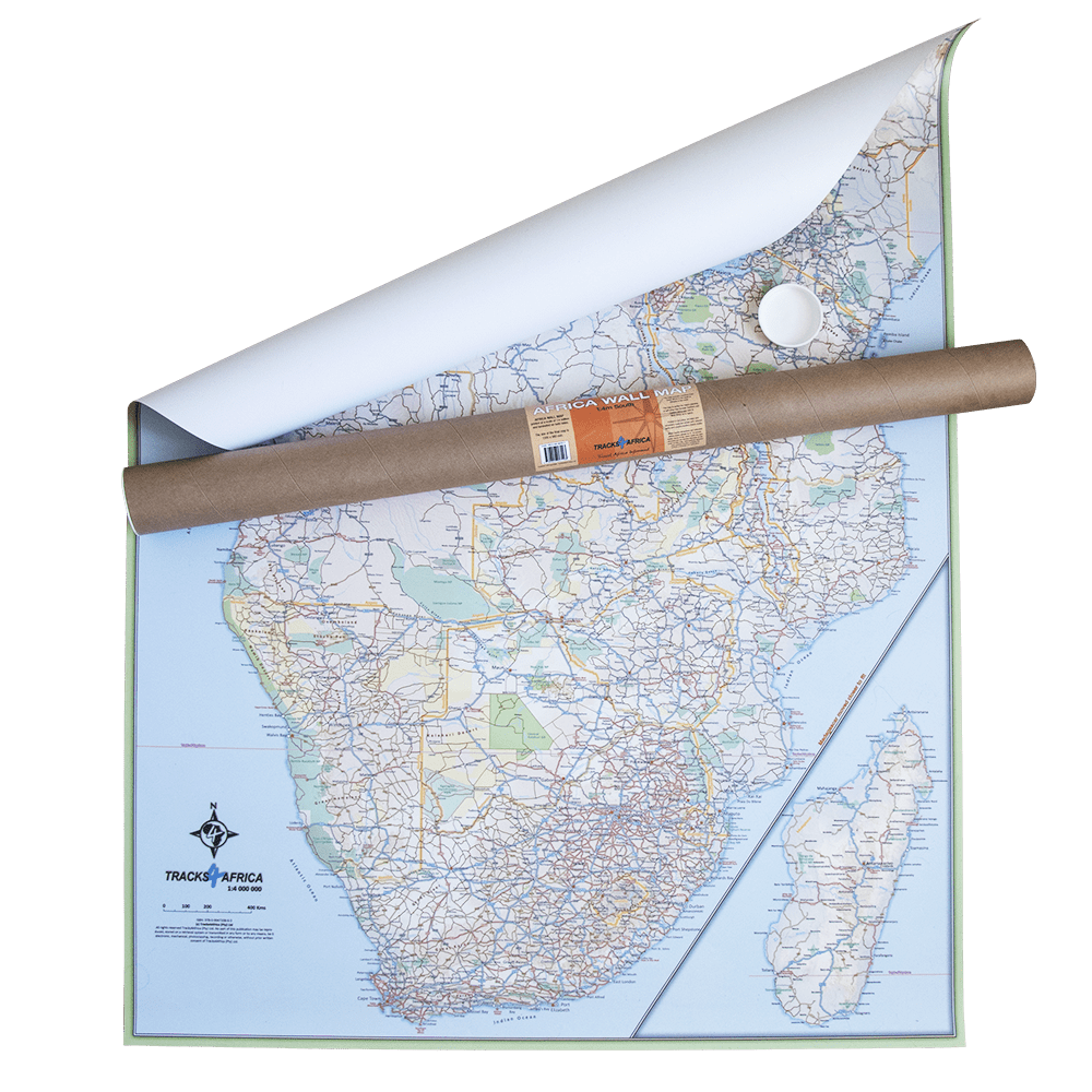
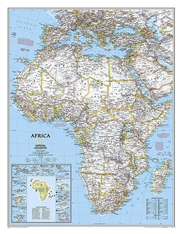
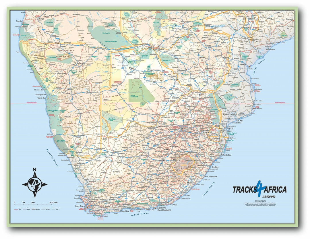
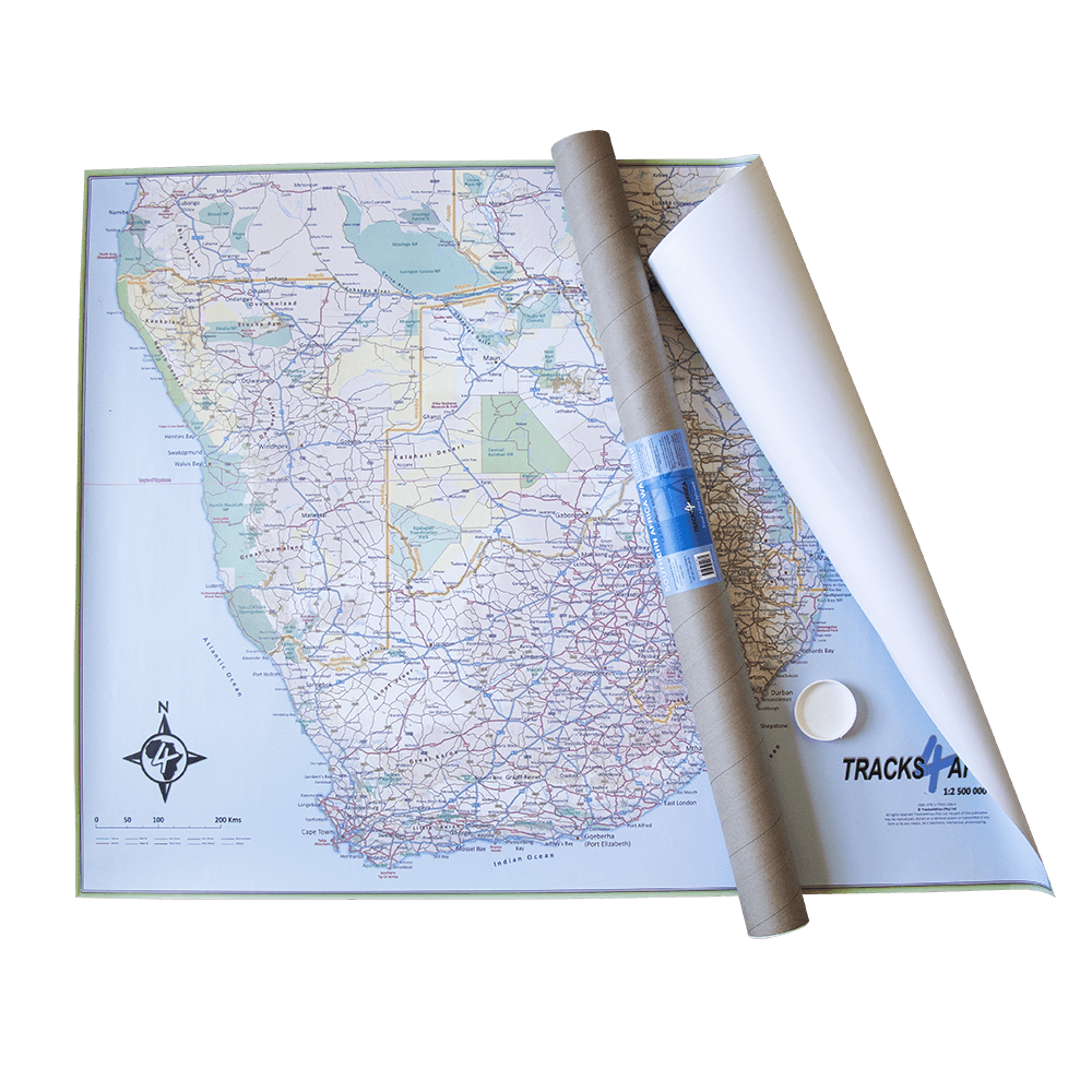
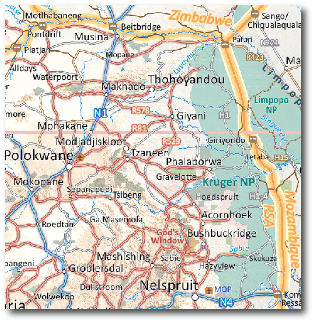
Laminated Wall Map - Southern Africa - 130 x 98 cm | Tracks4Africa

Price
Regular price 8395 €
Regular price Sale price 8395 €
/
  • Expédition sous 24 h ouvrées depuis notre entrepôt en France (sauf modèles plastifiés)
  • Frais de livraison calculés instantanément dans le panier
  • Stocks en temps réel
  • In stock, ready to ship
  • Backordered, shipping soon
Tax included.

Souvent achetés ensemble :

The Tracks4Africa wall map of Southern Africa is printed at a scale of 1:2,500,000 (1 cm = 25 km) and is laminated on both sides.

The map covers the entirety of South Africa, Lesotho, eSwatini, Zimbabwe, Botswana, and Namibia. It also includes most of Mozambique as far south as Nampula. A small portion of southern Angola as far south as Lubango is included, and the southern part of Zambia is covered as far south as Kabwe. The southern tip of Malawi to the starting point of the lake is also included.

Perfect for macro planning of road trips across southern Africa to southern Angola.

Printed in full color, all major and minor roads are shown, with national parks, towns, national borders, international airports, and major tourist attractions clearly visible. Includes a good number of tracks in remote areas.


ISBN / EAN : 9781776322831
Date de publication : 2024
Echelle : 1/2,500,000 (1cm=25km)
Dimensions déplié(e) : 130 x 98cm
Langue : English
Poids : 787 g