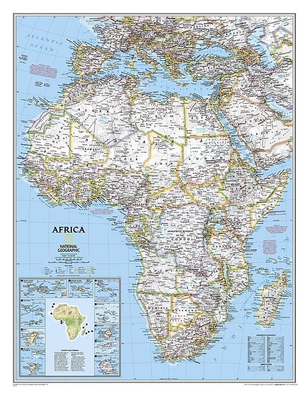
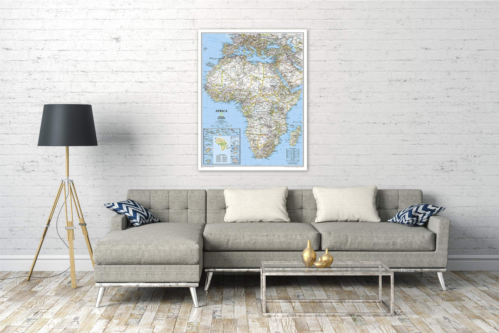
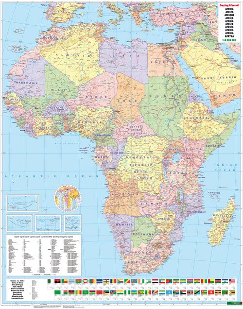
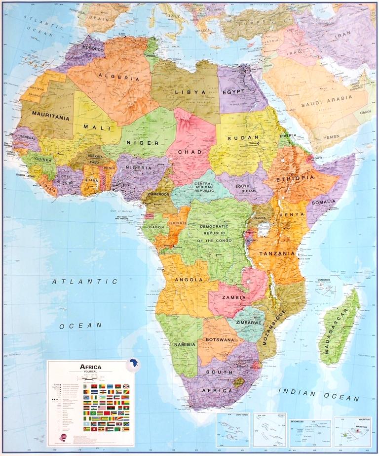
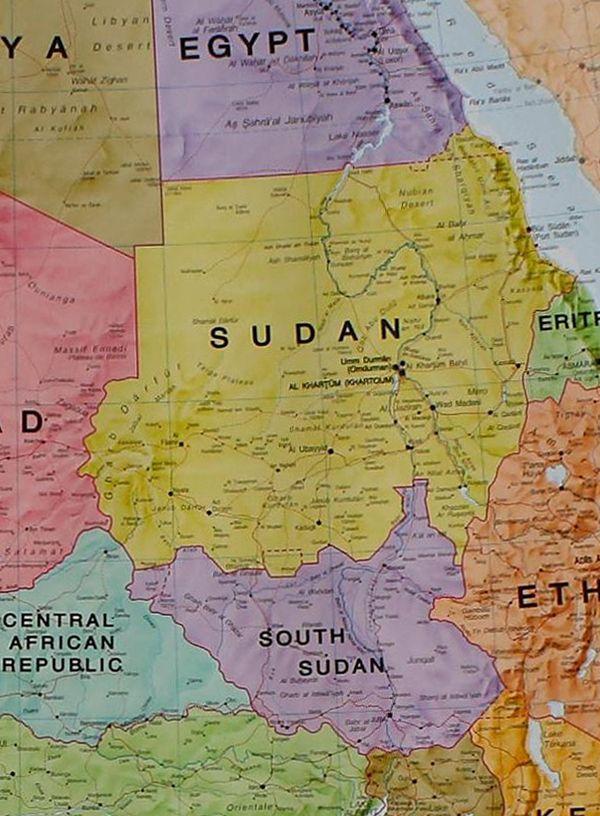
Wall Map (in English) - Political Africa - 91 x 118 cm | National Geographic
- Shipping within 7 to 10 working days from our warehouse in France
- Shipping method and fees are shown at checkout
Over 19,500 maps 🗺️ and travel guides, hiking maps, posters, globes, and décor items in stock!
Rated Excellent ⭐️ on Trustpilot — 9,000+ reviews from explorers and map lovers worldwide.
Explore the world, one map at a time 🗺️
Color wall map of political Africa published by National Geographic. This map covers all of Africa and the Mediterranean basin and includes features such as rivers, mountain ranges, major cities, country borders, etc.
For display. Supplied in a protective plastic tube.
2 finishes available: Paper and laminated.
Please note: For laminated maps, an additional few days may be required for lamination.
Date de publication : 2019
Impression: front
Dimensions déplié(e) : 91 x 118cm
Langue : English
The exclusive newsletter for travel and discovery enthusiasts!