Titanic: Double-Sided Wall Map (39 x 26 Inches), Tubed | National Geographic

Price
Regular price £21.00
Regular price Sale price £21.00
/
  • Shipped within 24 to 48h from our warehouse in the USA
  • All-inclusive price: customs duties are already paid by Cartovia
  • Free returns (*)
  • Real-time stock levels
  • Cartovia Guarantee – Delivery issue?
    We resend immediately upon receiving a simple photo.
  • In stock, ready to ship
  • Backordered, shipping soon
Tax included.

Frequently bought together:

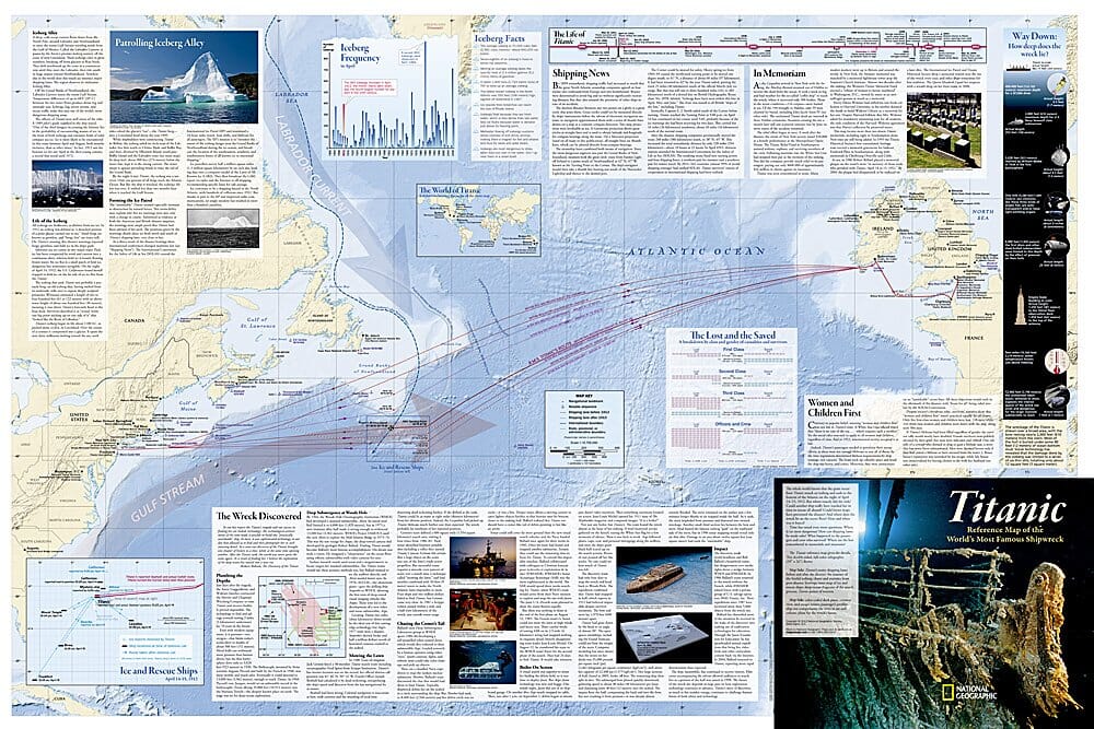
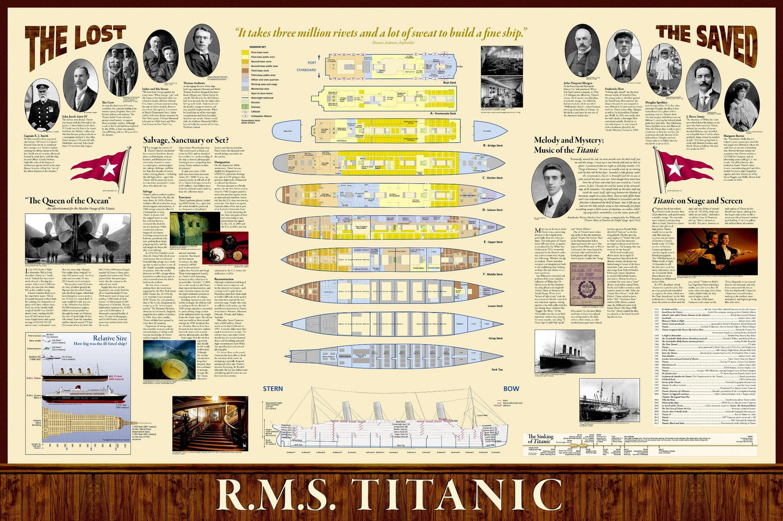
This double-sided Titanic infographic wall map by National Geographic brings together extensive information on the ship, its route and the disaster.

It includes the Titanic's route, shipping lanes before and after the sinking, the iceberg's journey, hearing statistics, ice and rescue ships, deep-water search diagrams, Titanic-related points of interest, deck plans, a colour-coded cutaway, passenger profiles and ship-size comparisons.

Dimensions: 39 x 26 inches. The map is supplied in a 2-inch-diameter clear plastic tube with a decorative label.


ISBN/EAN : 9781597755078
Language(s): English
Weight: 0.21 kg