This GPS-compatible 2016 Secondary Road Atlas features: Airports, Golf Clubs, Lookouts, Sugar Shacks, National, Provincial and other Parks, Points of Interest, Bird Watching, Snowmobile trails, National Historic Sites, Campgrounds, UTM Grid for GPS use and ZECs.
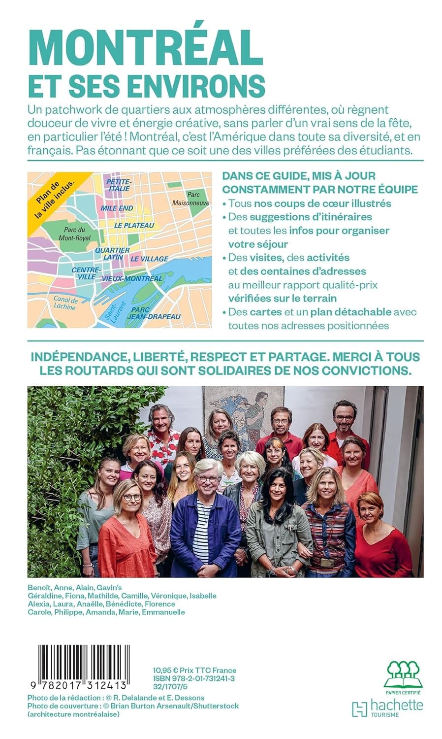
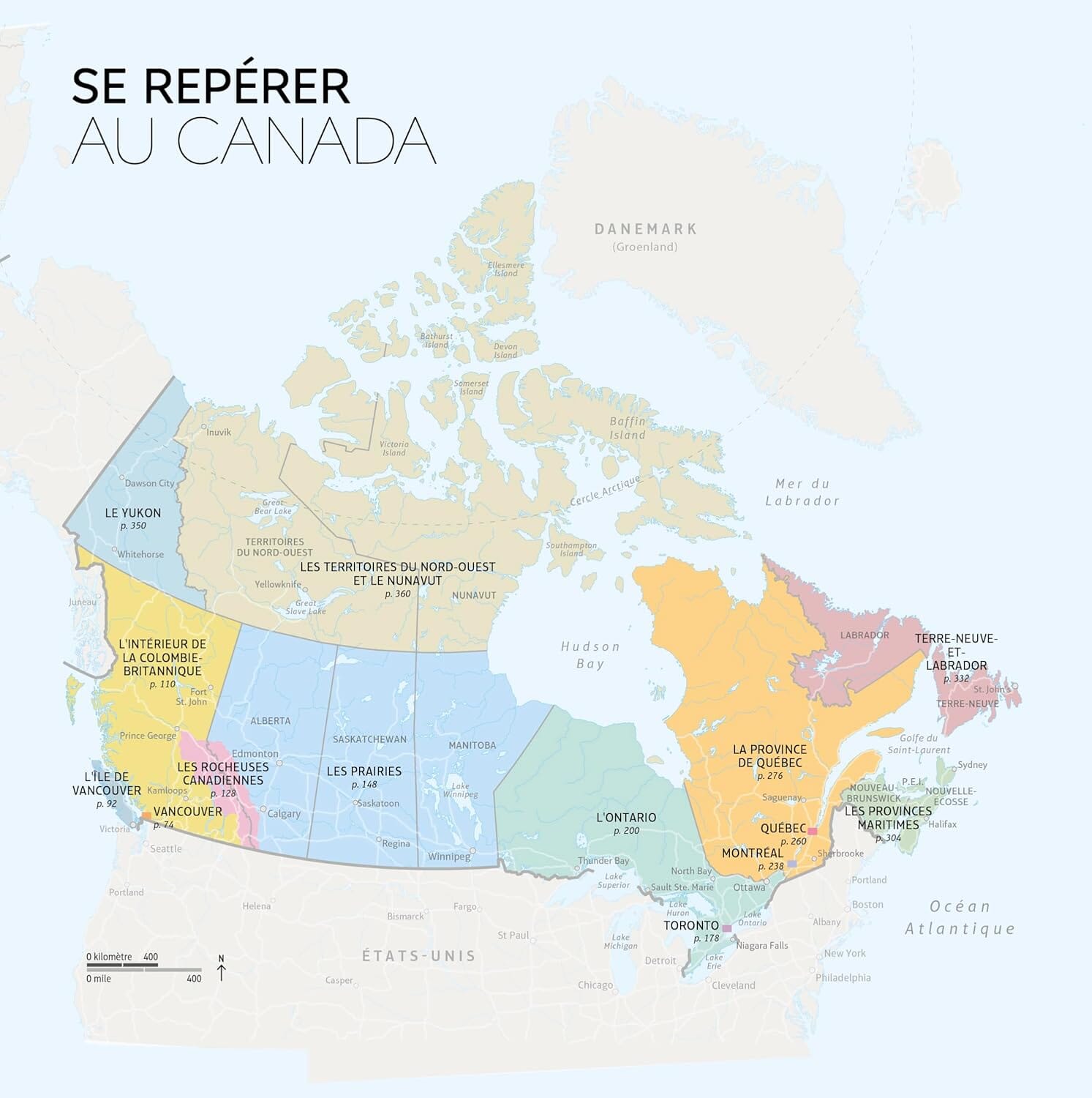
Coverage: 1:200,000 regional mapping of the southern portion of the province of Quebec. Coverage includes, but is not limited to: Petawawa & Cornwall to the west, the southern parts of Outaouais, Laurentides, Lanaudière, Mauricie, Charlevoix, Chaudière-Appalaches, Eastern Townships and Montérégie. Coverage of the Northeastern United States along the border and the Ottawa-Montreal-Quebec City corridor, including areas north and south of this corridor.
.


