Hiking map & guide - Ramat de l'Est | Alpina

Price
Regular price £1300
Regular price Sale price £1300
/
  • Free returns (*)
  • Real-time stock levels
  • Cartovia Guarantee – Delivery issue?
    We resend immediately upon receiving a simple photo.
  • In stock, ready to ship
  • Backordered, shipping soon
Tax included.

Frequently bought together:

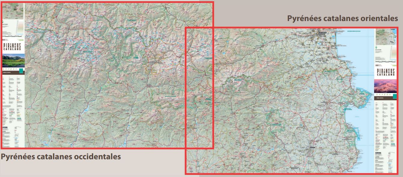
Hiking map of Ramat de l'Est, published by Alpina.

  • Relief shown through hill shading and contour lines.
  • Lodges, mountain huts and bivouac sites.
  • Roads, tracks and parking areas.
  • GPS-compatible.

The route has five stages:

  • 1. Font de la Figuereta – Pujol – Peramea – Gerri de la Sal – Mare de Déu d'Arboló – Baro.
  • 2. Baro – Malmercat – Tornafort – Saverneda – Sort.
  • 3. Sort – Pujalt – Olp – Sant Josep Hermitage – Altron – Bernui – Seurí – Llessui – Sorre – Rialp.
  • 4. Rialp – Roses – Sant Roma de Tavernoles – Llavorsí – Tírvia.
  • 5. Tírvia – Mare de Déu del Roser – Araós – Ainet de Besan – Alins – Àreu.


ISBN/EAN : 9788480906890
Publication date: 2017
Scale: 1/50,000 (1cm=500m)
Printed sides: front
Folded dimensions: 21 x 12.5cm
Unfolded dimensions: 98 x 68cm
Language(s): French, Castilian, English
Weight: 170 g