Hiking map - Porta del Cel | Alpina - 1:25 000

Price
Regular price £1400
Regular price Sale price £1400
/
  • Ships within 5 to 8 working days
    (Currently in transit to our warehouse in France)
  • Cartovia Guarantee – Delivery issue?
    We resend immediately upon receiving a simple photo.
Tax included.

Often purchased together:

The Alpina Porta del Cel hiking map covers one of the most spectacular high-mountain routes in the Pyrenees. Located in Pallars Sobirà, this circuit connects several iconic refuges and crosses wild landscapes between Catalonia and Ariège.

Designed for experienced hikers, this demanding traverse allows you to discover the Alt Pirineu Natural Park as well as the Pyrénées Ariégeoises Regional Natural Park, with high-altitude sections and the ascent of prestigious peaks such as Pica d'Estats, the highest point in Catalonia.

📌 Features

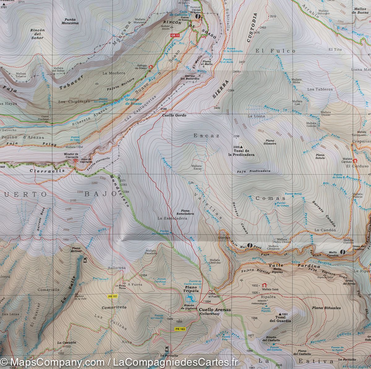
  • Detailed topographical map at 1:25,000
  • Stage refuges indicated
  • Route technical sheet
  • Altitude profile
  • Practical advice for preparing the traverse

🏔️ The Porta del Cel route

The Porta del Cel is a high-mountain loop connecting:

  • the Certascan refuge
  • the Pinet refuge
  • the Vallferrera refuge
  • the Camping de Graus refuge

The route also crosses the village of Tavascan and allows you to discover some of the wildest landscapes in the Pyrenees.

🌍 An exceptional traverse

  • Approximately 65 km of route
  • More than 11,000 m of cumulative elevation gain (ascent and descent)
  • Passage through two protected natural areas
  • Possible ascent of Pica d'Estats (3,143 m)
  • Crossing of high-altitude areas where snowfields can persist until summer

The sometimes poorly marked trails and mountain conditions make this hike particularly suitable for experienced and self-sufficient hikers.

🎒 An essential tool for preparing your trek

Thanks to its detailed mapping and integrated practical information, this map is a valuable resource for preparing and completing the trek on one of the most beautiful high-mountain circuits in the Pyrenees.


ISBN / EAN : 9788470112171
Date de publication : 2026
Echelle : 1/25,000 (1cm=250m)
Impression: front
Dimensions plié(e) : 21 x 12.5cm
Langue : Castilian, Catalan
Poids : 170 g