World Map (sold folded) - World Explorer with Flags & Facts | National Geographic

Price
Regular price £1400
Regular price Sale price £1400
/
  • Free returns (*)
  • Real-time stock levels
  • Cartovia Guarantee – Delivery issue?
    We resend immediately upon receiving a simple photo.
  • In stock, ready to ship
  • Backordered, shipping soon
Tax included.

Frequently bought together:

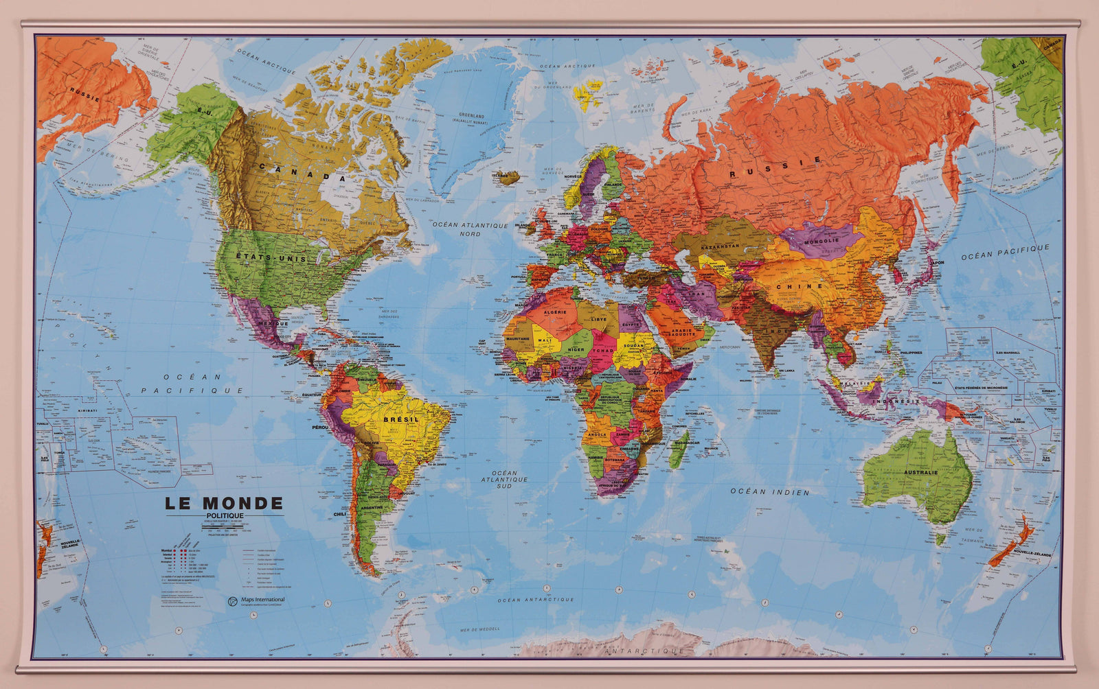
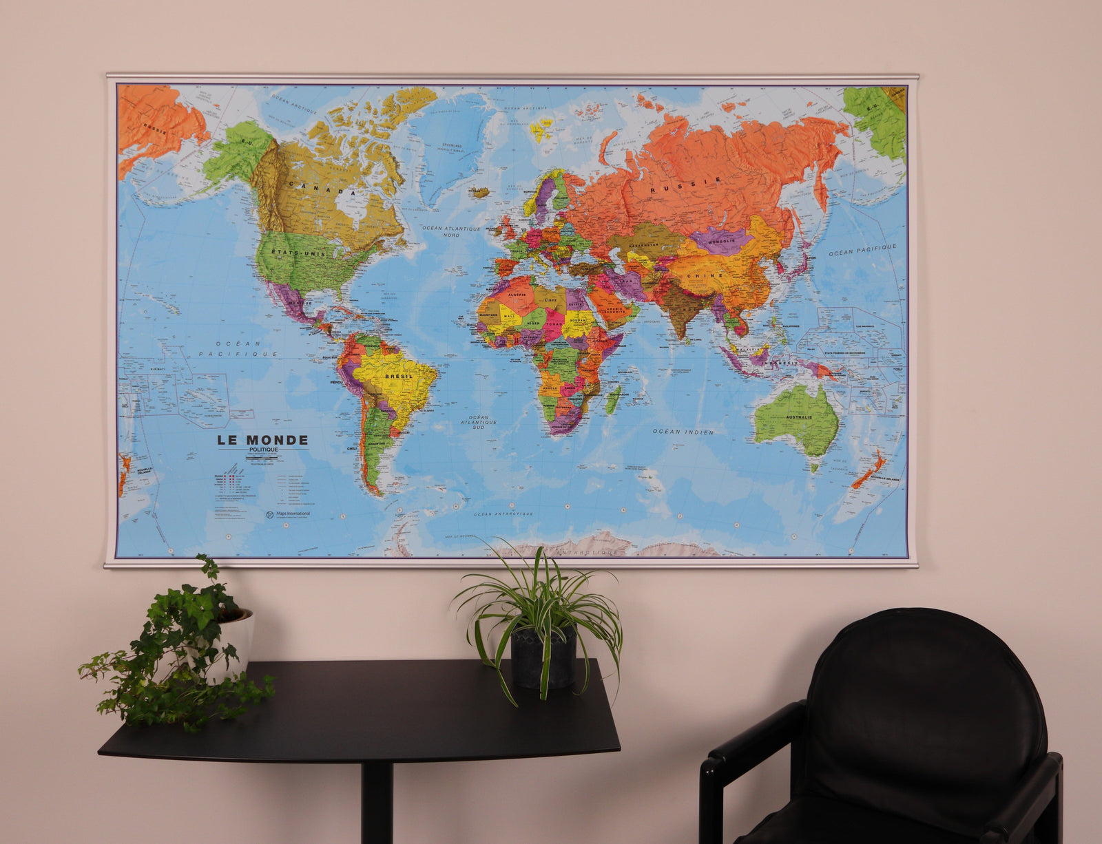
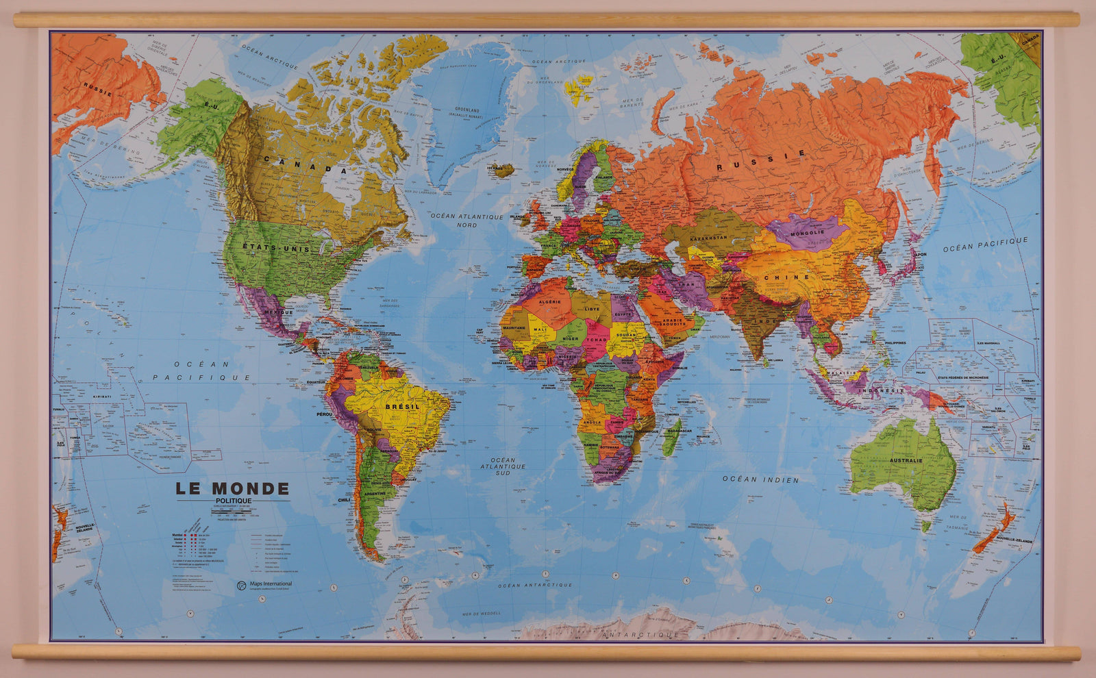
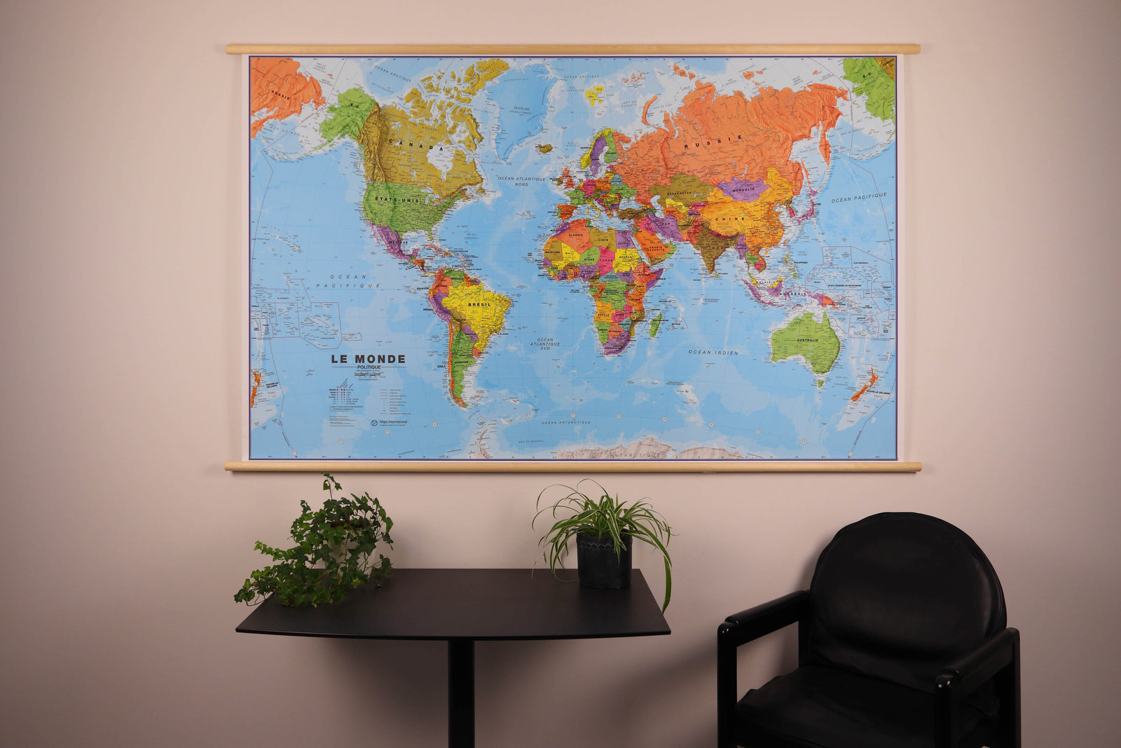
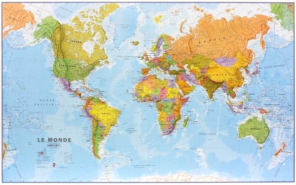
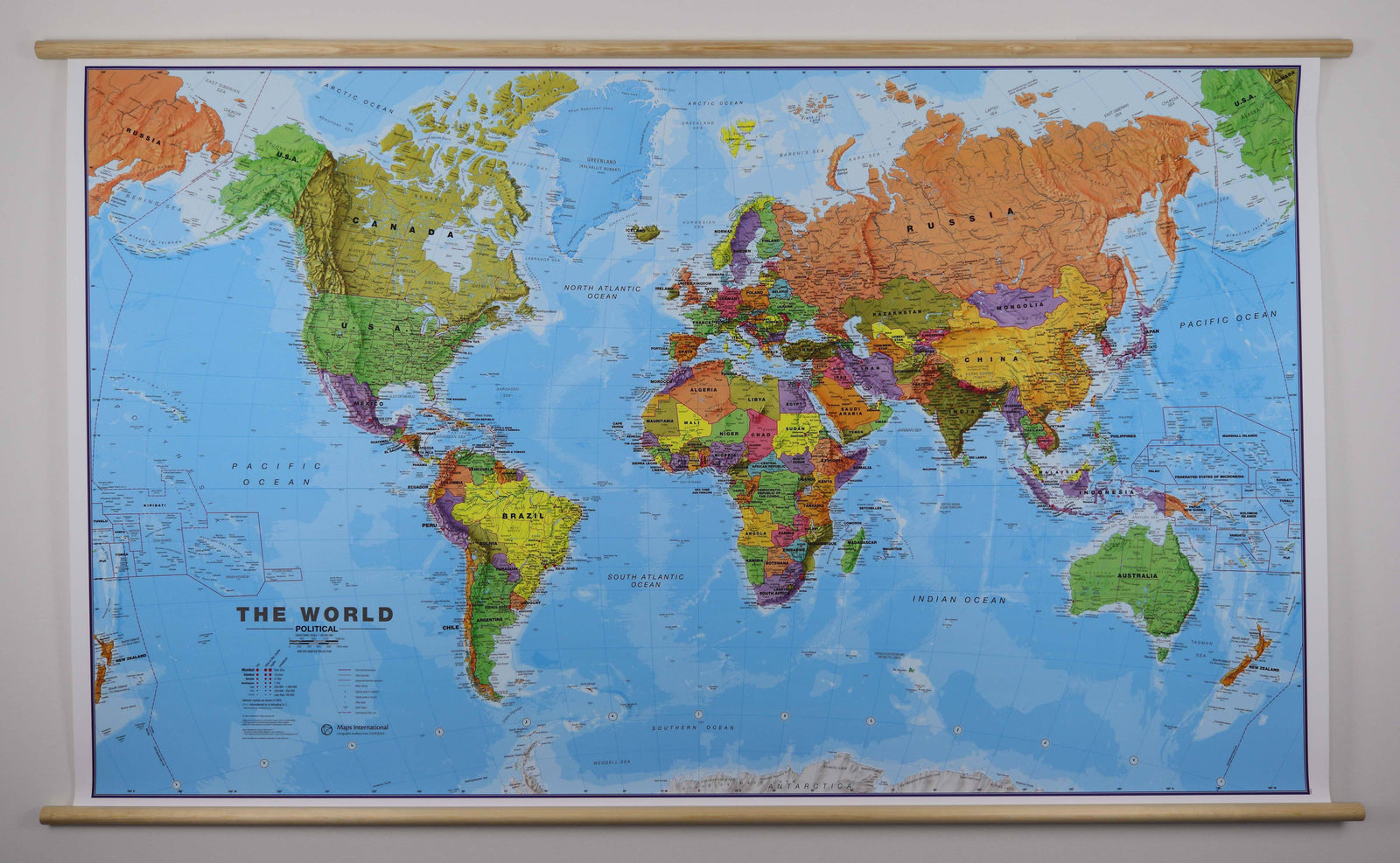
Discover the world with this World Explorer world map from National Geographic, designed as a comprehensive and easy-to-read reference map. It combines detailed cartography with practical information on each country, in a clear and colorful style.

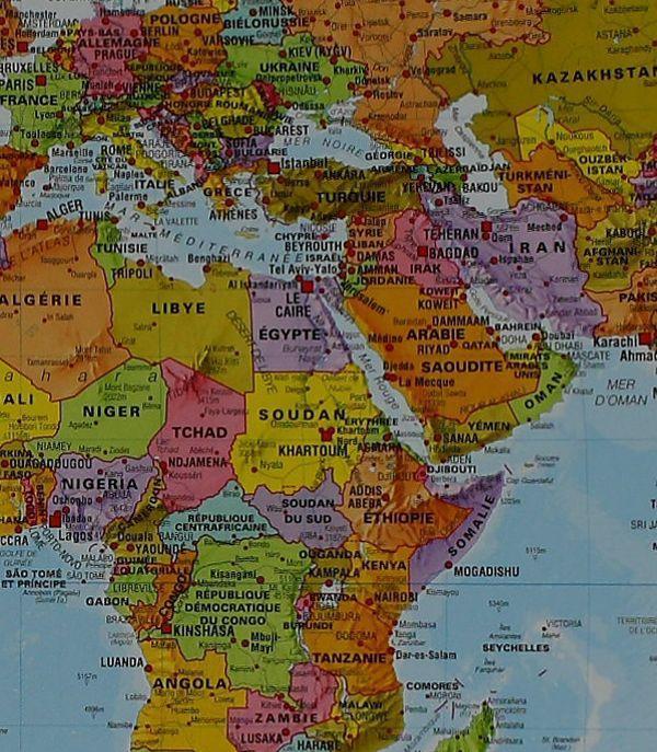
Created using Miller's projection, the map shows international borders, major cities, major landforms, rivers, and some underwater relief features.

Cartographic Information

  • National Geographic Explorer Style
  • Miller Projection
  • International Borders
  • Major Cities and Towns
  • Shaded Physical Relief
  • Rivers and Major Geographical Features
  • Ocean Floor Relief
  • Numerous Place Names
  • Information and Flags for Each Country
  • Area, Population, Capital, and GDP per Capita
  • Printed on waterproof and tear-resistant synthetic paper
  • Made in the USA

A Reference World Map

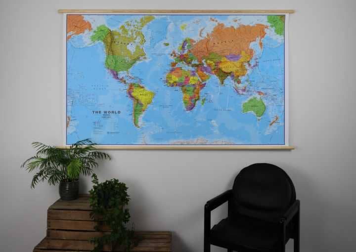
This map is ideal for consultation, education, travel planning, or display. Its durable material is designed to withstand repeated folding and regular use.


ISBN/EAN : 9781566959988
Publication date: 2026
Scale: 1/37,000,000 (1 cm = 370 km)
Printed sides: double-sided
Folded dimensions: 24 x 11 cm
Language(s): English
Weight: 93 g