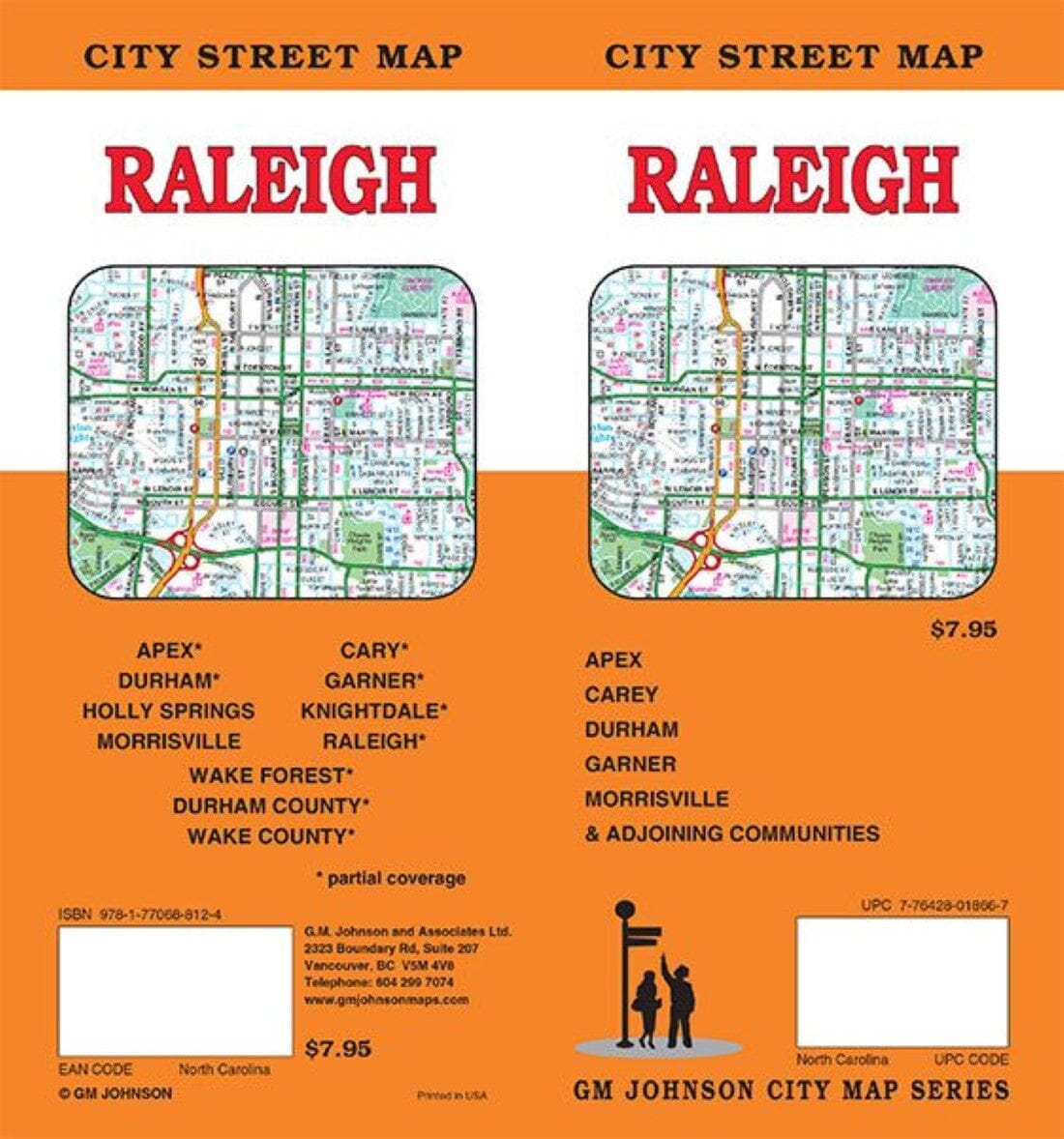
The folded map of Raleigh, North Carolina, published by Rand McNally, is an indispensable tool for anyone traveling in the region. It offers reliable and accurate mapping at a very affordable price.
Features :
-
Regularly updated
-
Color printing
-
Interstate, national, state, and county roads are clearly marked.
-
Parks, points of interest, airports, county boundaries, city center and surrounding area maps
-
Major attractions and golf courses
-
Easy-to-read legend
-
Detailed index and main street index
-
Convenient folded format
Area covered:
Apex*, Cary*, Durham*, Garner*, Holly Springs, Knightdale*, Morrisville, Wake Forest*, Durham County*, Wake County*
(*with detailed map or main inclusion)


