Pacific Crest Trail (lot de cartes) | National Geographic carte de randonnée National Geographic

Pacific Crest Trail (map pack) | National Geographic

Price
Regular price £10800
Regular price Sale price £10800
/
  • Shipped within 24 to 48h from our warehouse in the USA
  • All-inclusive price: customs duties are already paid by Cartovia
  • Free returns (*)
  • Real-time stock levels
  • Cartovia Guarantee – Delivery issue?
    We resend immediately upon receiving a simple photo.
  • In stock, ready to ship
  • Backordered, shipping soon
Tax included.

Frequently bought together:

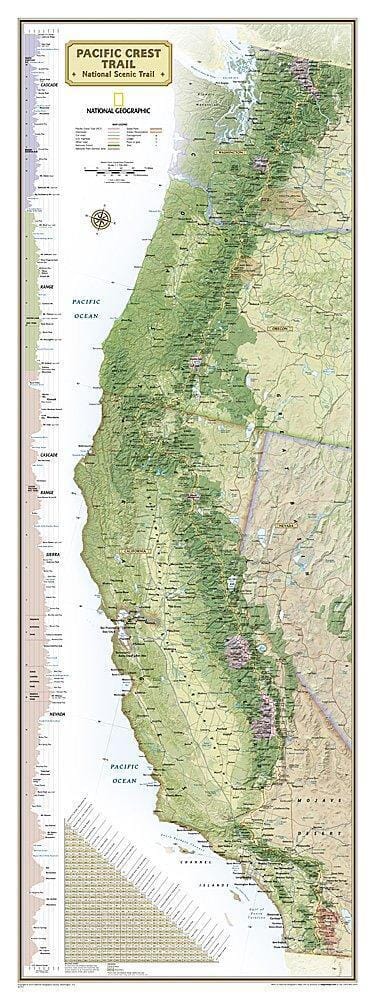
The Pacific Crest Trail map pack contains eleven topographic map guides covering the entire PCT, across the Oregon and Washington Cascades, California's Sierra Nevada and the Mojave Desert.

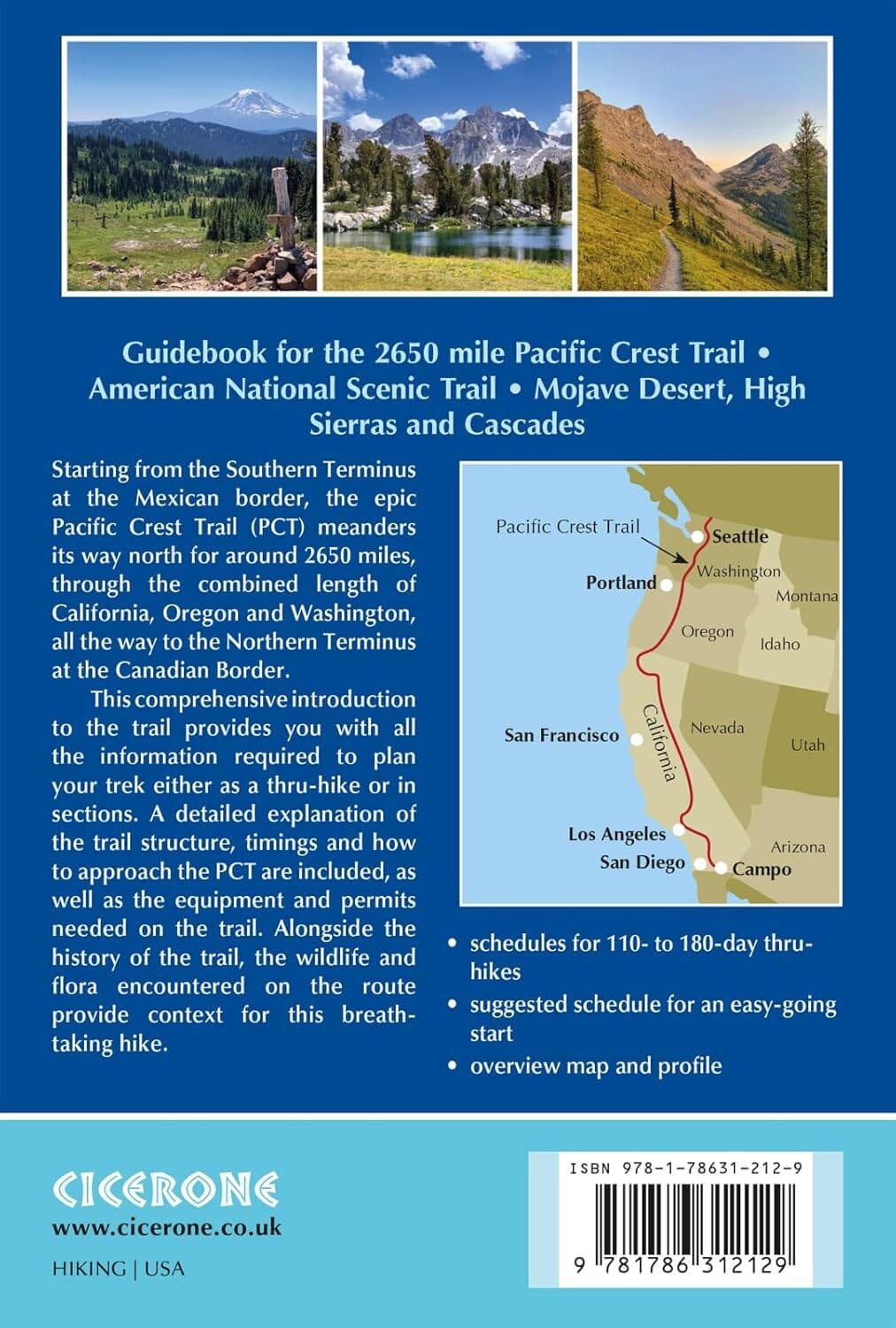
The maps extend from the Canadian border in the heart of the Cascades to the Mexican border, described in the supplied text as being in the Mojave Desert.

The PCT runs 2,650 miles through Washington, Oregon and California. It crosses six national parks, 25 national forests and 48 wilderness areas, including the volcanic Cascades of the Pacific Northwest, the snowy Sierra Nevada and the Mojave and Sonoran Deserts.

Each guide includes detailed topographic maps at nearly 1 inch = 1 mile. Pages are centred on the PCT and overlap adjacent pages for continuous coverage.


ISBN/EAN : 9781566958165
Publication date: 2019
Folded dimensions: 9.25 inches x 4.25 inches (23 x 10 cm)
Language(s): English
Weight: 2.25 oz