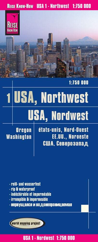
Oregon Road and Recreation Atlas | Benchmark Maps atlas Benchmark Maps Default Title

Oregon Road and Recreation Atlas | Benchmark Maps

Price
Regular price £2700
Regular price Sale price £2700
/
  • Shipped within 24 to 48h from our warehouse in the USA
  • All-inclusive price: customs duties are already paid by Cartovia
  • Free returns (*)
  • Real-time stock levels
  • Cartovia Guarantee – Delivery issue?
    We resend immediately upon receiving a simple photo.
  • In stock, ready to ship
  • Backordered, shipping soon
Tax included.

Frequently bought together:

The 11th edition (2024) of the Oregon Road and Recreation Atlas is now available. The publisher thanks readers for their patience while its printer caught up with demand.

Oregon residents love their state, Benchmark's home state, and this atlas. They praise its clear road mapping, showing every road, its accuracy, convenient page overlap and the ease of locating points of interest.

The new edition's topographic maps have been greatly improved, with more readable, detailed relief. All Oregon maps are field-checked and cover the main categories of outdoor recreation as well as cultural attractions.

Highlights

  • Major highways in the north-western United States and Oregon, including Hwy 20, I-5 and I-84.
  • Detailed recreation areas and public lands.
  • Highly detailed topographic maps.
  • An index of counties, towns, parks, mountains, lakes and rivers.
  • A detailed Portland metropolitan map.
  • GPS grid.

Map scales

  • Recreation maps: 1:750,000; 1 inch represents 19 km.
  • Topographic maps: 1:225,000; 1 inch represents 5.8 km.
  • Metropolitan maps: 1:125,000; 1 inch represents 3.2 km.


ISBN/EAN : 9798986387932
Publication date: 2024
Pagination: 112 pages
Language(s): English
Weight: 479 g