Newfoundland and Labrador Road Map | Canadian Cartographics Corporation
- Free returns (*)
- Real-time stock levels
-
Cartovia Guarantee – Delivery issue?
We resend immediately upon receiving a simple photo.
📦 Hard-to-find maps - worldwide shipping
📦 Hard-to-find maps & travel guides - worldwide shipping, 30-day returns
🌞 Summer travel: 20,000+ maps in stock
🌞 Plan your summer: 20,000+ maps and travel guides in stock Details →
✅ Latest editions guaranteed — since 2010
✅ Latest editions guaranteed - 180,000+ travellers equipped since 2010
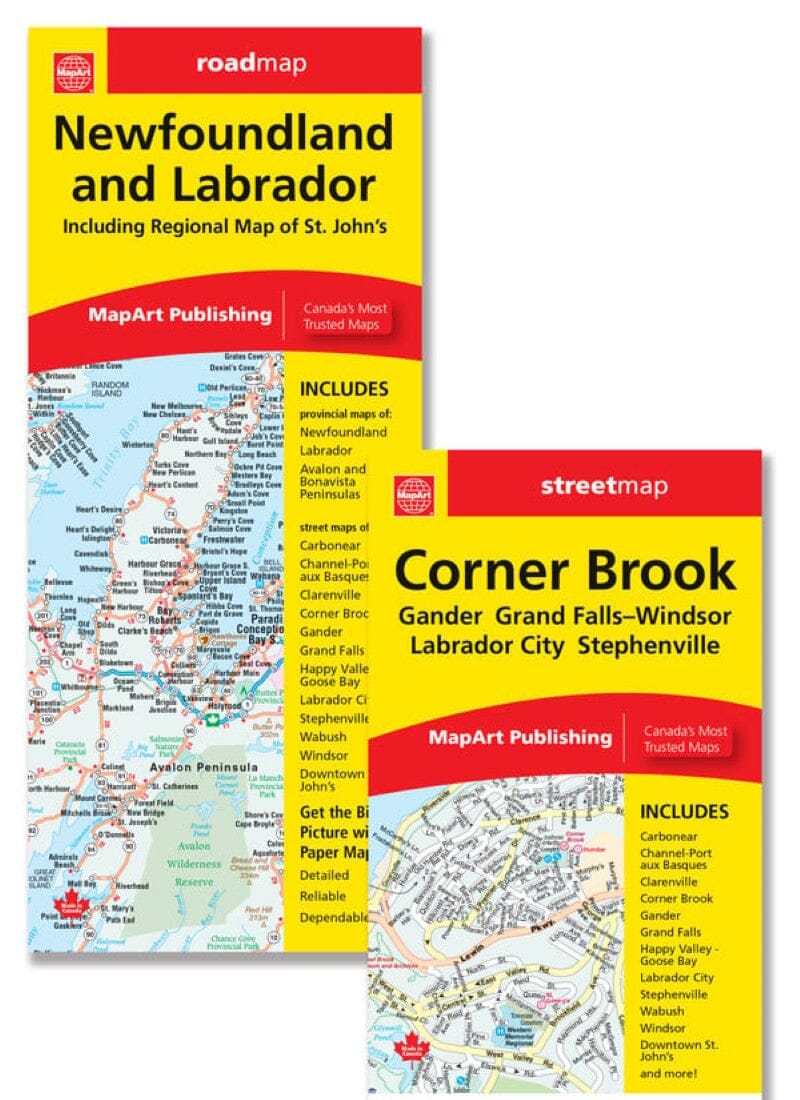
This folded Newfoundland and Labrador road map includes a Newfoundland map at 1:984,500, a Labrador map at 1:3,000,000, and an inset of the Avalon and Bonavista peninsulas at 1:550,000.
It also includes maps of Carbonear, Channel-Port aux Basques, Clarenville, Corner Brook, Gander, Happy Valley-Goose Bay, Labrador City/Wabush, Stephenville and Windsor at 1:25,000, with street indexes.
A detailed downtown St. John’s map at 1:15,000, ferry information and an Atlantic Canada distance chart are included.
ISBN/EAN : 9781554863013
Publication date: 2024
Folded dimensions: 11cm x 24cm (4 inches x 9 1/4 inches)
Unfolded dimensions: 69cm x 100cm (27 inches x 39 1/4 inches)
Language(s): English
Weight:
60 g
It was supposed to be a map of Newfoundland and Labrador but the Labrador part was kind of limited.
Great map of Newfoundland though. I think MapArt maps are great maps.
Exactly what I was looking for. Great map
The map I ordered has not yet arrived.
Thank you... I am all set now to plan my next Road Trip in September ... Looking forward for it !!!!!!!!!
The exclusive newsletter for travel and discovery enthusiasts!