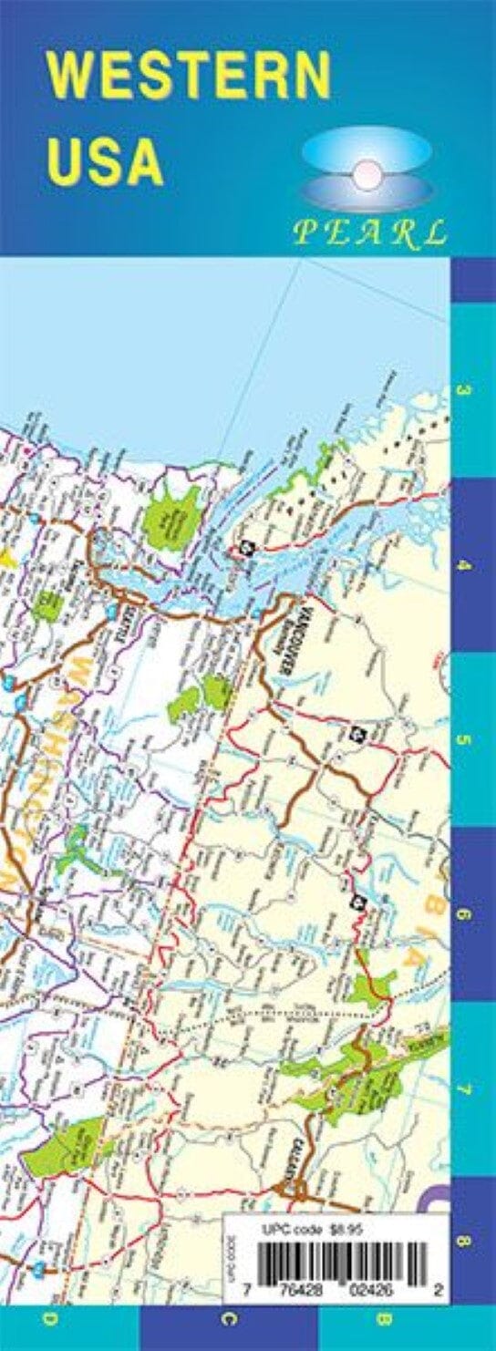
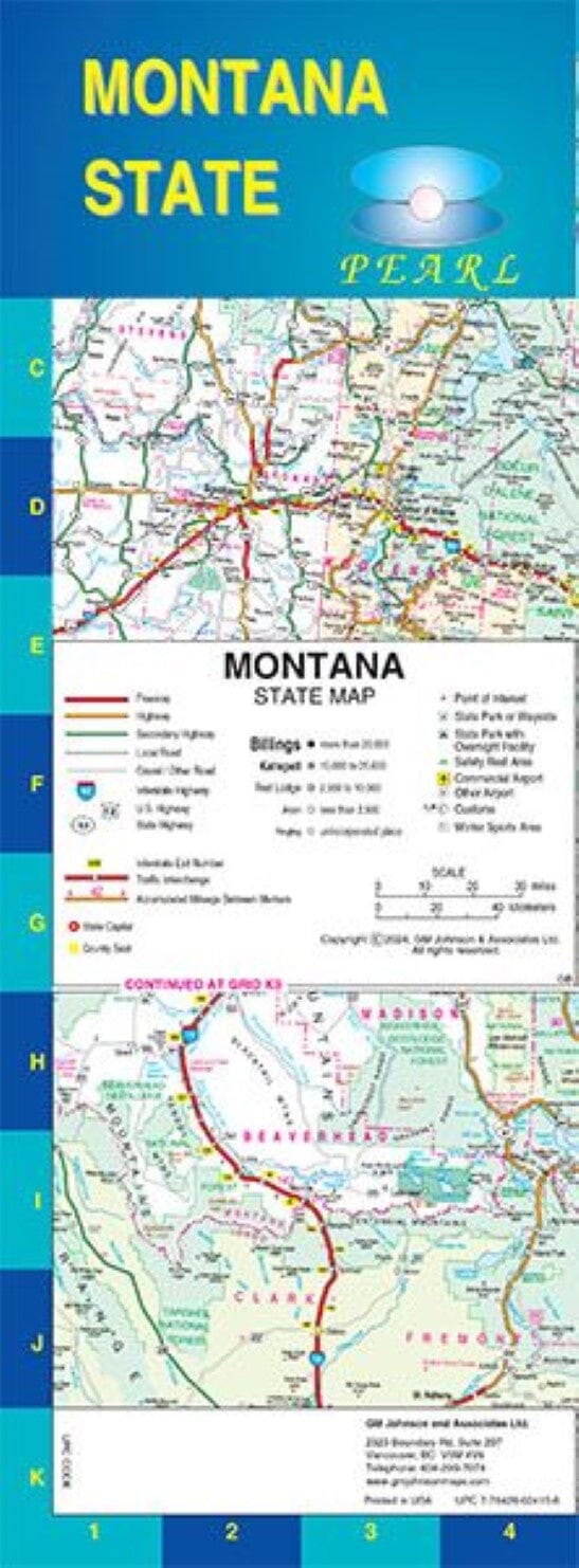
The easy-to-use key and detailed index make it quick and easy to locate destinations. You'll see why Rand McNally folded maps have been the trusted standard for years.
48% larger map with larger font size than the Rand McNally folded map
Clearly labeled interstate, U.S., state, and county highways
Directions to parks, points of interest, airports, county lines, and more
Map shows mileage and driving times
Detailed index
Convenient folded size
Detailed maps of: Billings, MT; Butte, MT; Casper, WY; Cheyenne, WY; Great Falls, MT; Helena, MT; Missoula, MT; Waterton-Glacier International Peace Park; Yellowstone/Grand Teton National Parks
ISBN/EAN : 9780528028977
Publication date: 2023
Folded dimensions: 9.45 inches x 4.33 inches (24 x 10 cm)
Unfolded dimensions: 40.16 inches x 27.95 inches (102 x 70 cm)
Language(s): English
Weight:
1.9 oz


