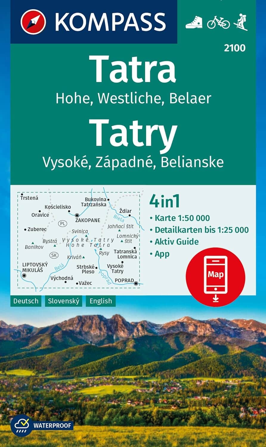
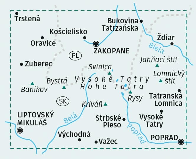
Hiking Map - High Tatras & Belianske Tatras | Kompass 2130 - 1:25 000
- Free returns (*)
- Real-time stock levels
-
Cartovia Guarantee – Delivery issue?
We resend immediately upon receiving a simple photo.
📦 Hard-to-find maps - worldwide shipping
📦 Hard-to-find maps & travel guides - worldwide shipping, 30-day returns
🌞 Summer travel: 20,000+ maps in stock
🌞 Plan your summer: 20,000+ maps and travel guides in stock Details →
✅ Latest editions guaranteed — since 2010
✅ Latest editions guaranteed - 180,000+ travellers equipped since 2010
This Kompass hiking map covers the High Tatras (Vysoké Tatry) and the Belianske Tatry in Slovakia. With its detailed scale of 1:25,000, it is particularly suitable for hiking, cycling, and mountain activities.
The High Tatras and the Belianske Tatry offer a spectacular mountain landscape composed of rock faces, green valleys, and steep peaks. The region is dominated by Gerlachovský štít (Gerlach Peak), the highest point in the Tatras and Slovakia.
ISBN/EAN
: 9783991545514
Publication date: 2026
Scale: 1/25,000 (1cm=250m)
Folded dimensions: 11 x 19cm
Language(s): German, Slovak
Weight:
101 g
Very good product and service
Très bien, tant sur la nature du produit commandé et livré que dans le délai de la livraison.
Une très bonne carte qui me sera indispensable pour randonner dans les Hautes Tatras. Merci pour la rapidité de l'envoie
Entière satisfaction sur la qualité du produit autant que sur la limpidité du site pour l'exécution de la commande.
The exclusive newsletter for travel and discovery enthusiasts!