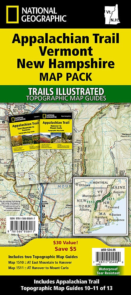
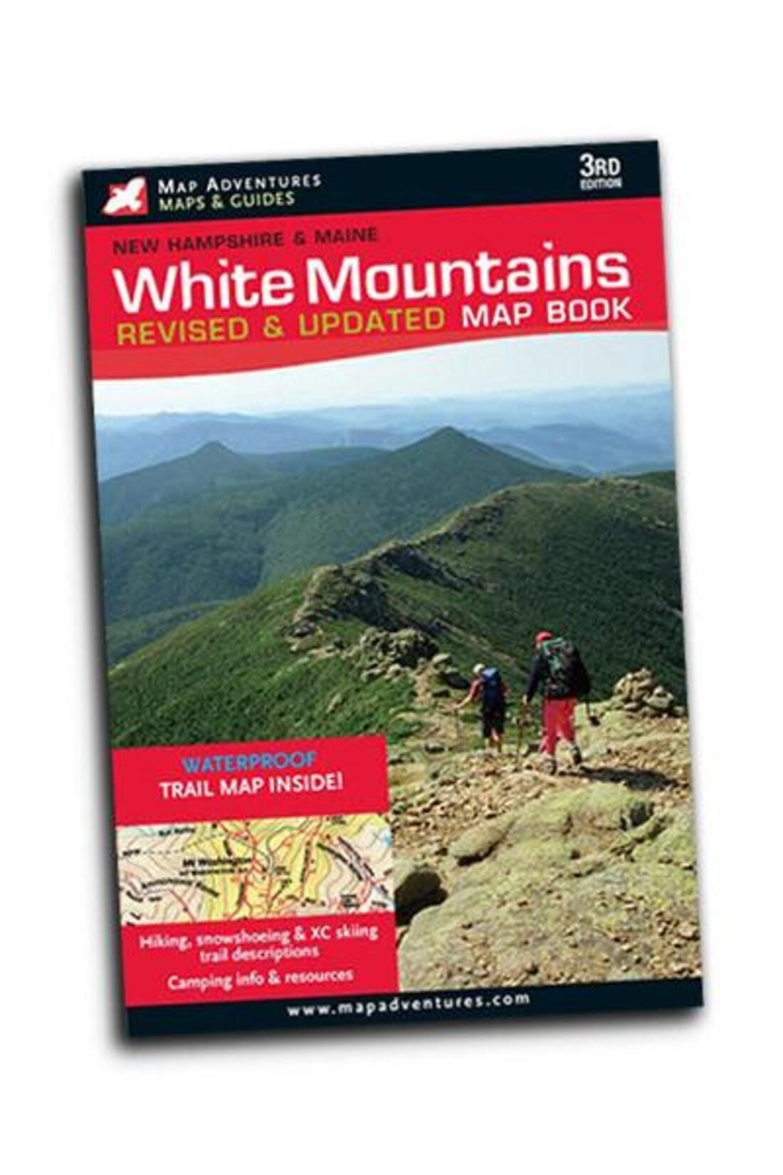
- Waterproof topographic map - tear-resistant
.
The area covered includes the White Mountain National Forest, the Pemigewasset and Sandwich Range Wilderness Areas, the Appalachian National Scenic Trail from Hanover, NH, to Crawford Notch State Park, Franconia Notch and Echo Lake State Parks, the Kancamagus Highway, the Tripoli Highway, and the Bear Notch Highway. Also includes Plymouth, Rumney, Lincoln, Twin Mountain, North Conway, and Wonalancet. Includes UTM grids for use with your GPS device and a trail mileage matrix.
Map scale = 1:70,000


